Redwood Nature
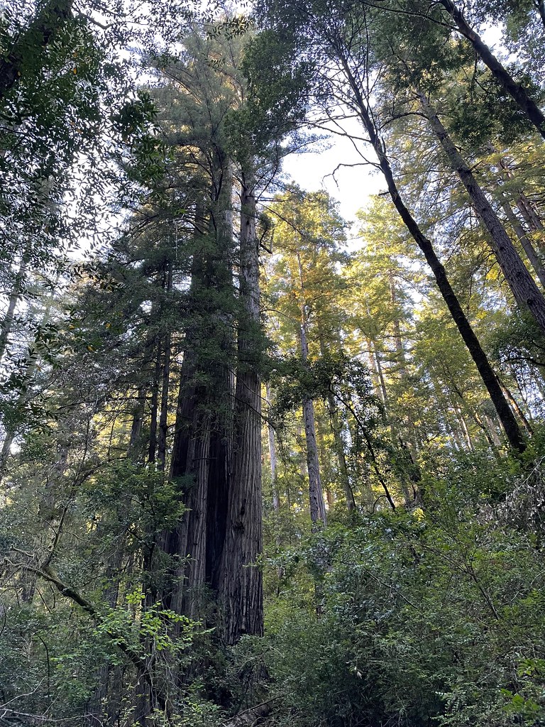 Photo: bsterling, CC BY-SA 2.0 (via Flickr)
- 2.4 mi
- loop
- 319 ft
- climb
- 435 ft
- high point
- Loop
- route
- Feb–Nov
- best months
Redwood Nature is a short, easy loop hike in the Gold Beach Ranger District of Siskiyou National Forest in southern Oregon, managed by the Forest Service. The trail is 2.4 miles long and rises from a low point of about 67 feet to a high of 435 feet, with a total climb of 319 feet and a total descent of 466 feet over the course of the loop. Late summer into early fall is the most comfortable time to go. Typical averages from a nearby weather station in Brookings, Oregon, show September highs around 67°F with lows near 52°F, and the station sits a few hundred feet lower than the trail, so temperatures on the route run a little cooler. The hike is open from June 1 through October 31, and the trip takes about an hour. The trail is natural-surface and not accessible. Bikes and horses are not allowed. Riverview Nature Trail lies about 0.6 miles away. For an overnight stay, Miller Bar campground is 1.2 miles off and Nook Bar is about 2.8 miles away. Paddlers can reach the North Fork Chetco River, roughly 3.8 miles from the trail.
Local outfitters
- Turtle Rock RV Resort22 mi away
- John Carl Guide Service31 mi away
Not on Roamze yet. Their page has how to reach them.
Best time to go · Feb–Nov
Best time to visit Redwood Nature
Best months: February–November. Best months have typical highs of 55–85 °F, lows of 30 °F or warmer (32 °F where the station doesn't record snow), at most one snowy day and no more than 12 wet days.
Jan
54° / 44°
Feb
55° / 43°
Mar
55° / 43°
Apr
58° / 45°
May
62° / 48°
Jun
65° / 51°
Jul
67° / 53°
Aug
66° / 54°
Sep
67° / 52°
Oct
63° / 49°
Nov
57° / 46°
Dec
53° / 43°
Typical high / low (°F) and days with rain or snow, 1991–2020. Measured at Brookings, OR, 6.9 mi away at 82 ft. This station doesn't record snowfall. Source: NOAA NCEI U.S. Climate Normals 1991–2020.
Keep exploring — more trails worth the drive
 Photo: Rick Obst, CC BY 2.0 (via Flickr)
Riverview Nature Trail
~1 min drive
1.32-mile out-and-back trail in Oregon with 859 ft elevation gain
 Photo: Forest Service Pacific Northwest Region, Public Domain Mark (via Flickr)
Oregon Redwoods - Hiking
~13 min drive
4-mile loop trail in Oregon with 1,017 ft gain
 Photo: zappowbang, CC BY-SA 2.0 (via Flickr)
Oregon Coast Trail
~14 min drive
7.2-mile out-and-back trail on Oregon's coast with 2,936 ft elevation gain
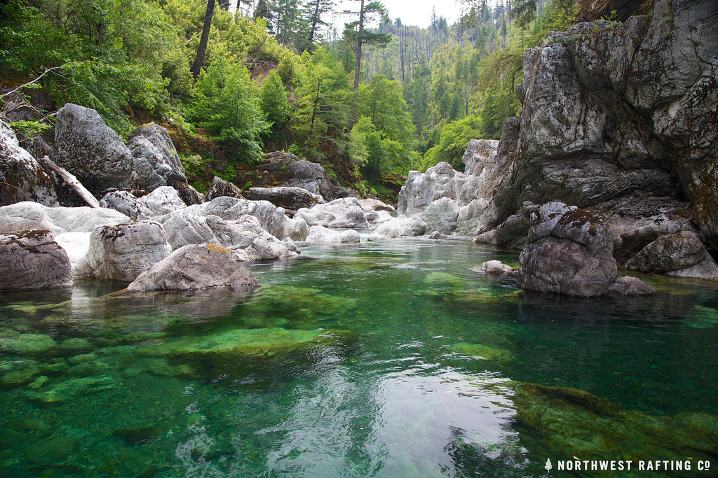 Photo: Northwest Rafting Company, CC BY 2.0 (via Flickr)
Tincup
~25 min drive
Tincup is a 30.44-mile out-and-back trail in Oregon with 5,724 feet of elevation gain.
 Photo: eugene_o, CC BY 2.0 (via Flickr)
Indian Sands Trail
~15 min drive
0.96-mile out-and-back trail in Oregon with 707 ft of elevation gain.
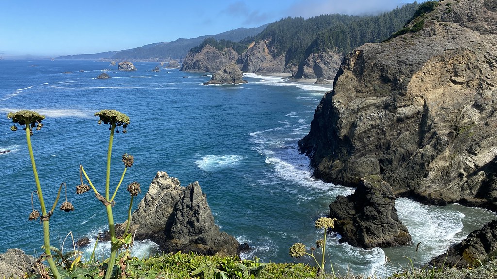 Photo: lamblukas, CC BY 2.0 (via Flickr)
Oregon Coast Trail
~15 min drive
1.22-mile out-and-back trail on the Oregon Coast with 1,270 ft of elevation gain
 Photo: Forest Service Pacific Northwest Region, Public Domain Mark (via Flickr)
Chetco Divide
~19 min drive
19.20-mile out-and-back trail in Oregon with 2,064 ft gain.
 Photo: Northwest Rafting Company, CC BY 2.0 (via Flickr)
Upper Chetco Trail
~30 min drive
34.14-mile out-and-back trail in Oregon with 11,678 ft elevation gain/loss.
 Photo: Šarūnas Burdulis from USA, CC BY-SA 2.0 (via Wikimedia Commons)
Oregon Coast Trail
~19 min drive
0.7-mile out-and-back trail on the Oregon Coast with 565 ft elevation gain
Photo: Forest Service Pacific Northwest Region, Public Domain Mark (via Flickr)Vulcan Peak
~19 min drive
2.00-mile out-and-back trail to Vulcan Peak in Oregon with 954 ft elevation gain.
Also worth it near here


