Brown Mountain
 Photo: Little Mountain 5, CC BY-SA 3.0 (via Wikimedia Commons)
- 7,334 ft
- summit
Is Brown Mountain open right now?
Alert in the area
The Forest Service lists an alert for High Cascades Ranger District.
Fish Lake Boat Ramp Closure
Agency alert covering High Cascades Ranger District · Order 06-10-24-26-02 · USFS · High Cascades Ranger District
As of · Source: USFS · High Cascades Ranger District. Agencies don't list every closure — check before you go.
Brown Mountain is a summit of about 7,334 feet in Klamath County, Oregon, within the High Cascades Ranger District of the Rogue River-Siskiyou National Forests. The nearest town is Rocky Point, about 9 miles away. Several trails start close by. The Pacific Crest - Rrs_cascades hike is about 1.7 miles away, and the Brown Mountain North Trail #3724 is about 1.9 miles away. Brown Mountain Nordic, a cross-country ski area, is about 2 miles off. For an overnight base, Fish Lake Campground sits about 3.2 miles away.
Conditions and forecast
Daily highs and lows, wind and the chance of precipitation at the summit for the next 7 days, from the Open-Meteo model.
- Summit elevation
- 7,334 ft
Elevation from USGS 3D Elevation Program terrain data (about 10 m resolution).
We don't know of a mapped trail or route to the summit of Brown Mountain. Plan the approach with local maps, a guidebook or a local guide, and check conditions before you go.
Questions about Brown Mountain
How tall is Brown Mountain?
7,334 ft (2,235 m).
Is there a trail to the top of Brown Mountain?
We don't know of a mapped trail or route to the summit. Plan the approach with local maps, a guidebook or a local guide.
 Mount McLoughlin9,497 ft · Oregon1 route6.0 mi awayPhoto: Lyn Topinka, USGS, Public domain (via Wikimedia Commons)
- Buck Peak6,073 ft · Oregon1 route9.6 mi away
- Cat Hill6,385 ft · Oregon1 route11 mi away
- Spence Mountain5,848 ft · Oregon2 routes15 mi away
- Grizzly Peak5,917 ft · Oregon1 route19 mi away
- Violet Hill6,902 ft · Oregon1 route20 mi away
- Pacific Crest - Rrs_cascadesHiking1.7 mi
 Brown Mountain North Trail #3724HikingPhoto: ex_magician, CC BY 2.0 (via Flickr)1.9 mi
- Brown Mountain NordicCross-country skiing2 mi
- Lower CanalCross-country skiing2.2 mi
- Fish Lake CampgroundCamping3.2 mi
- Aspen Point CampgroundCamping3.3 mi
- Aspen Point (Lake of the Woods, OR)Camping3.3 mi
- South Fork Little Butte CreekCanoeing6.6 mi
Source: Roamze catalog (indexable pages within 10 miles, PostGIS distance)
- Mount McLoughlinSummit · ~10 min drivePhoto: Lyn Topinka, USGS, Public domain (via Wikimedia Commons)
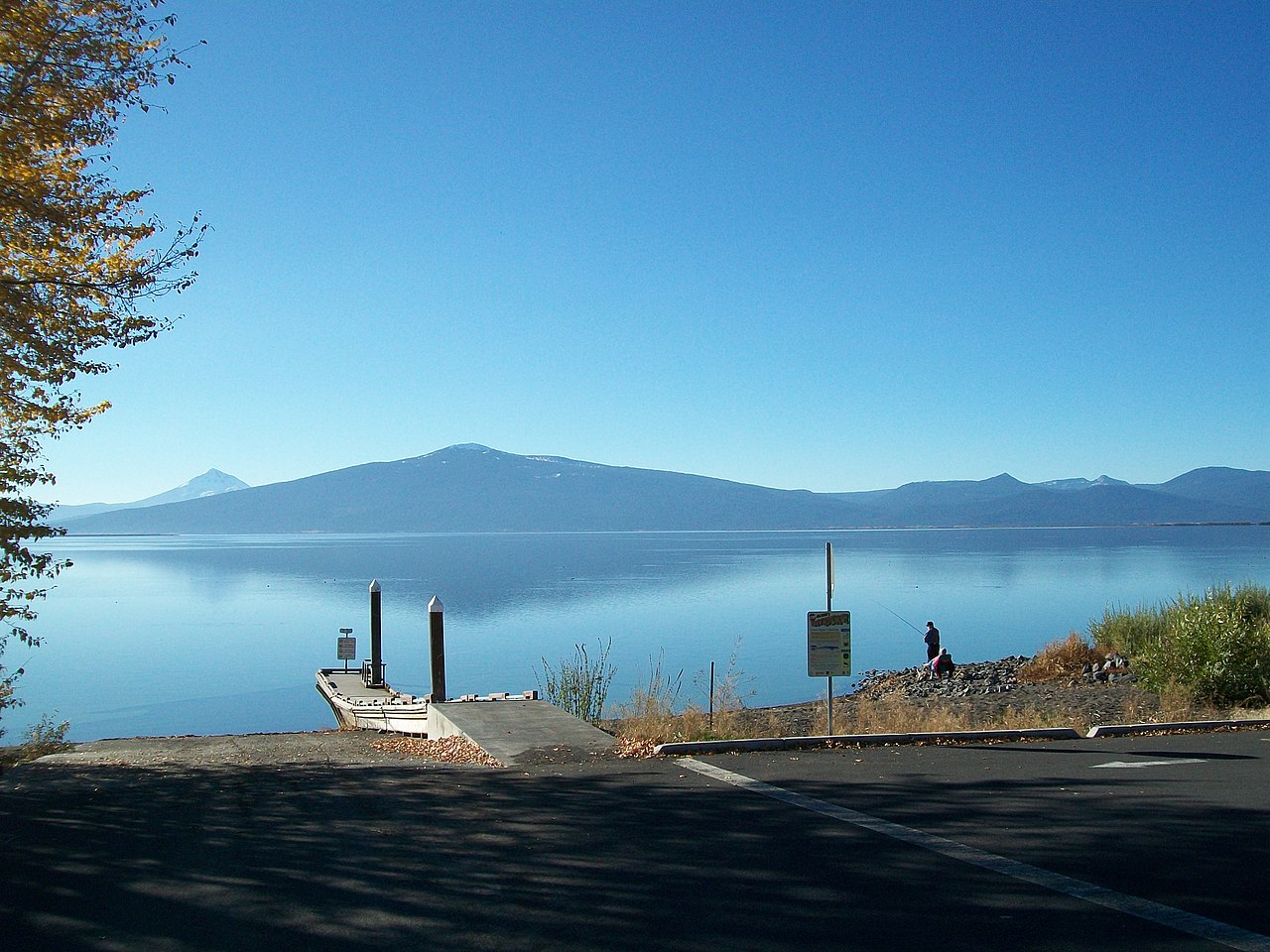 Pelican ButteSummit · ~21 min drivePhoto: Bobjgalindo, CC BY-SA 4.0 (via Wikimedia Commons)
 Boccard PointSummit · ~41 min drivePhoto: Bureau of Land Management, Public domain (via Wikimedia Commons)
 Roxy Ann PeakSummit · ~45 min drivePhoto: ZabMilenko at English Wikipedia, CC BY-SA 3.0 (via Wikimedia Commons)
 Hogback MountainSummit · ~52 min drivePhoto: Sethant, CC0 (via Wikimedia Commons)
 Mount AshlandSummit · ~52 min drivePhoto: Alex Lockhart, Public domain (via Wikimedia Commons)
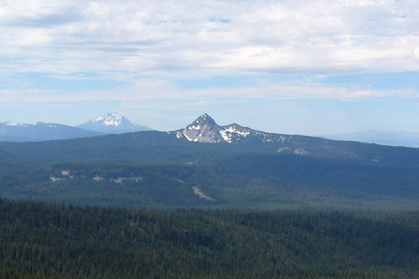 Union PeakSummit · ~55 min drivePhoto: Jude Giampaolo Burntnickel at en.wikipedia, Public domain (via Wikimedia Commons)
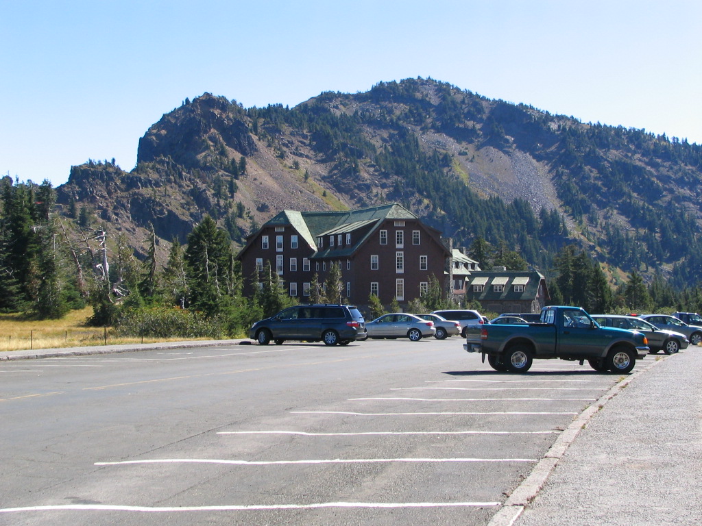 Garfield PeakSummit · ~1h 5m drivePhoto: Llywrch, CC BY-SA 2.5 (via Wikimedia Commons)
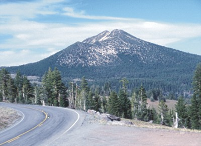 Mount ScottSummit · ~1h 10m drivePhoto: Ed Klimasauskas, USGS, Public domain (via Wikimedia Commons)
- Buck PeakSummit · ~17 min drive
Also worth it near here

