Hogback Mountain
 Photo: Sethant, CC0 (via Wikimedia Commons)
- 6,203 ft
- summit
- May–Jun, Aug–Sep
- best months
Hogback Mountain is a summit in Oregon, rising to 6,203 feet about 3.3 miles from the town of Altamont. It sits in a cluster of outdoor destinations, with Cougar Rock Boulders just half a mile away and several hiking routes within a few miles. Summer is the most comfortable time to visit. Typical averages from the Gerber Dam weather station, about 30 miles away and roughly 1,300 feet lower, show July highs around 86°F with lows near 48°F, while winter highs stay in the low 40s. Nearby options include the Hotsprings Backside hike at 3.3 miles, the OC&E Woods Line State Trail at 3.7 miles, and the Geo Loop and Link River Trail, both within about 5 miles.
Conditions and forecast
Daily highs and lows, wind and the chance of precipitation at the summit for the next 7 days, from the Open-Meteo model.
- Summit elevation
- 6,203 ft
Elevation from USGS 3D Elevation Program terrain data (about 10 m resolution).
We don't know of a mapped trail or route to the summit of Hogback Mountain. Plan the approach with local maps, a guidebook or a local guide, and check conditions before you go.
Questions about Hogback Mountain
How tall is Hogback Mountain?
6,203 ft (1,891 m).
Is there a trail to the top of Hogback Mountain?
We don't know of a mapped trail or route to the summit. Plan the approach with local maps, a guidebook or a local guide.
- Swan Lake Point7,263 ft · Oregon1 route12 mi away
- Spence Mountain5,848 ft · Oregon2 routes16 mi away
- Buck Peak6,073 ft · Oregon1 route21 mi away
- Harris Knoll4,371 ft · California1 route34 mi away
- Thomas Hill4,356 ft · California1 route34 mi away
 Mount McLoughlin9,497 ft · Oregon1 route34 mi awayPhoto: Lyn Topinka, USGS, Public domain (via Wikimedia Commons)
- Cougar Rock BouldersRock climbing0.5 mi
- Hotsprings BacksideHiking3.3 mi
- OC&E Woods Line State TrailHiking3.7 mi
- Geo LoopHiking4 mi
- Link River TrailHiking4.8 mi
- T-BagHiking5 mi
- RatcampHiking5 mi
- StonehengeHiking5.1 mi
Source: Roamze catalog (indexable pages within 10 miles, PostGIS distance)
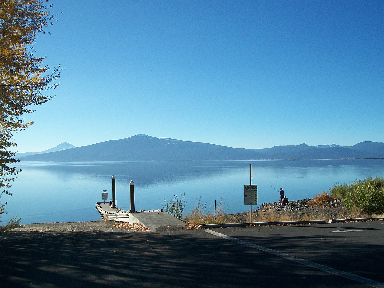 Pelican ButteSummit · ~50 min drivePhoto: Bobjgalindo, CC BY-SA 4.0 (via Wikimedia Commons)
 Brown MountainSummit · ~52 min drivePhoto: Little Mountain 5, CC BY-SA 3.0 (via Wikimedia Commons)
- Mount McLoughlinSummit · ~59 min drivePhoto: Lyn Topinka, USGS, Public domain (via Wikimedia Commons)
 Schonchin ButteSummit · ~1h 2m drivePhoto: USGS, Public domain (via Wikimedia Commons)
 Boccard PointSummit · ~1h 12m drivePhoto: Bureau of Land Management, Public domain (via Wikimedia Commons)
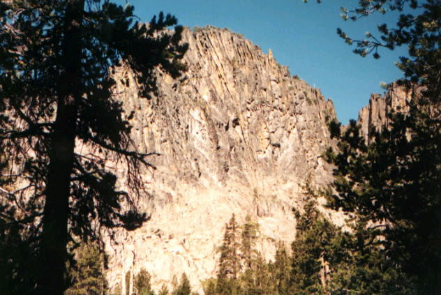 Gearhart MountainSummit · ~1h 19m drivePhoto: USFS, Public domain (via Wikimedia Commons)
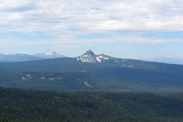 Union PeakSummit · ~1h 23m drivePhoto: Jude Giampaolo Burntnickel at en.wikipedia, Public domain (via Wikimedia Commons)
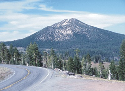 Mount ScottSummit · ~1h 25m drivePhoto: Ed Klimasauskas, USGS, Public domain (via Wikimedia Commons)
- Swan Lake PointSummit · ~20 min drive
- Spence MountainSummit · ~28 min drive
Best time to visit Hogback Mountain
Best months: May–June and August–September. Best months have typical highs of 55–85 °F, lows of 30 °F or warmer (32 °F where the station doesn't record snow), at most one snowy day and no more than 12 wet days.
Jan
43° / 21°
Feb
45° / 24°
Mar
49° / 25°
Apr
56° / 29°
May
64° / 37°
Jun
75° / 40°
Jul
86° / 48°
Aug
84° / 47°
Sep
78° / 39°
Oct
64° / 31°
Nov
49° / 25°
Dec
40° / 19°
Typical high / low (°F) and days with rain or snow, 1991–2020. Measured at Gerber Dam, OR, 29.6 mi away at 4,870 ft. The station sits about 1,300 ft lower than this place, so expect it a little cooler here. This station doesn't record snowfall. Source: NOAA NCEI U.S. Climate Normals 1991–2020.

