Boccard Point
 Photo: Bureau of Land Management, Public domain (via Wikimedia Commons)
- 5,894 ft
- summit
- 1
- way up
- May–Oct
- best months
Boccard Point is a summit of 5,894 feet in Oregon's Soda Mountain Wilderness, on the Medford District of the Bureau of Land Management. The nearest town is Hornbrook, California, about 11 miles away. Summer is the most comfortable time to go. Typical averages from the Howard Prairie Dam weather station, about 13 miles away, show July and August highs near 79°F with only two or three wet days a month. That station sits roughly 1,300 feet below the summit, so temperatures up high run cooler. The Boccard Point Trail starts just 0.2 miles from the summit. Lone Pilot Trail and Pilot Rock are both within about 4.5 miles, and the Greensprings climbing area is about 5 miles away.
Conditions and forecast
Daily highs and lows, wind and the chance of precipitation at the summit and route start for the next 7 days, from the Open-Meteo model.
- Summit elevation
- 5,894 ft
Elevation from USGS 3D Elevation Program terrain data (about 10 m resolution).
Map © Mapbox © OpenStreetMap contributors Questions about Boccard Point
How tall is Boccard Point?
5,894 ft (1,796 m).
How many routes go to the summit of Boccard Point?
One: Boccard Point Trail.
 Mount Ashland7,493 ft · Oregon2 routes12 mi awayPhoto: Alex Lockhart, Public domain (via Wikimedia Commons)
- McDonald Peak7,223 ft · Oregon1 route14 mi away
- Grizzly Peak5,917 ft · Oregon1 route16 mi away
- Anderson Butte5,179 ft · Oregon1 route23 mi away
- Buck Peak6,073 ft · Oregon1 route24 mi away
 Roxy Ann Peak3,575 ft · Oregon2 routes26 mi awayPhoto: ZabMilenko at English Wikipedia, CC BY-SA 3.0 (via Wikimedia Commons)
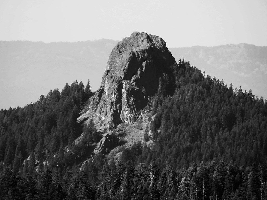 Boccard Point TrailHikingPhoto: BLM Oregon & Washington, CC BY-SA 2.0 (via Flickr)0.2 mi
 Lone Pilot TrailHikingPhoto: BLM Oregon & Washington, CC BY 2.0 (via Wikimedia Commons)2.8 mi
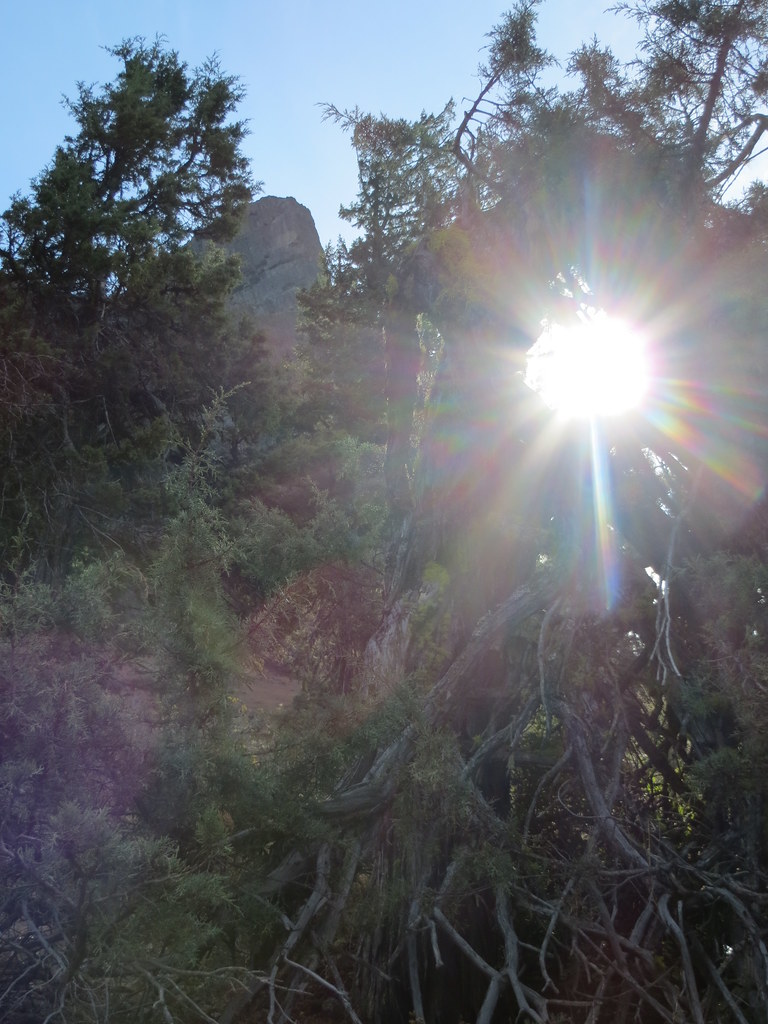 Pilot RockHikingPhoto: BLM Oregon & Washington, CC BY-SA 2.0 (via Flickr)4.5 mi
- GreenspringsRock climbing5 mi
- Keene CreekCanoeing5 mi
- Emigrant CreekCanoeing6.6 mi
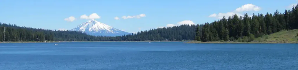 Hyatt Lake Recreation AreaCampingPhoto: Recreation.gov (RIDB) / public domain7.8 mi
- Aqua WallRock climbing9.6 mi
Source: Roamze catalog (indexable pages within 10 miles, PostGIS distance)
- Mount AshlandSummit · ~21 min drivePhoto: Alex Lockhart, Public domain (via Wikimedia Commons)
 Brown MountainSummit · ~41 min drivePhoto: Little Mountain 5, CC BY-SA 3.0 (via Wikimedia Commons)
- Roxy Ann PeakSummit · ~44 min drivePhoto: ZabMilenko at English Wikipedia, CC BY-SA 3.0 (via Wikimedia Commons)
 Mount McLoughlinSummit · ~48 min drivePhoto: Lyn Topinka, USGS, Public domain (via Wikimedia Commons)
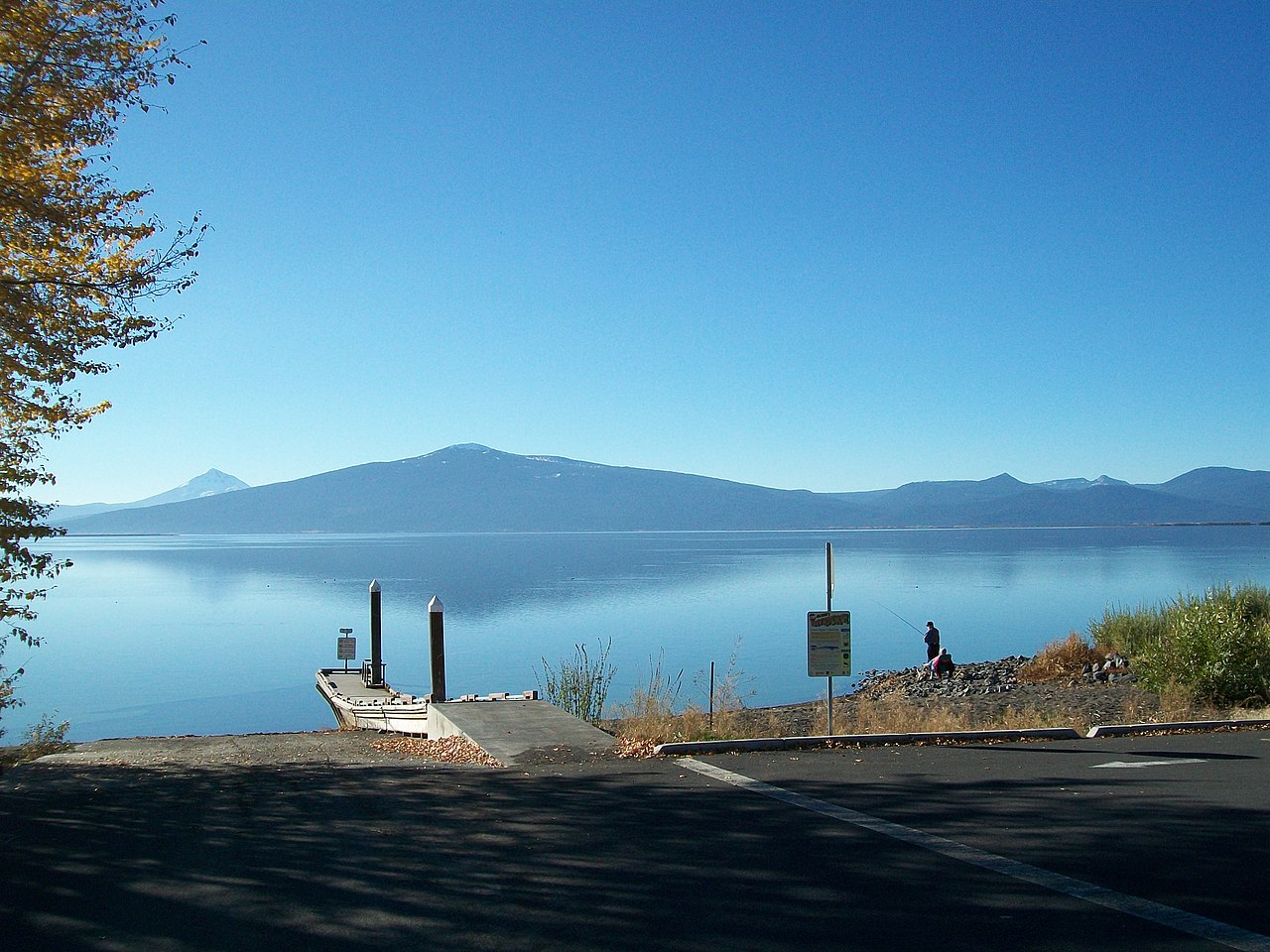 Pelican ButteSummit · ~1h 2m drivePhoto: Bobjgalindo, CC BY-SA 4.0 (via Wikimedia Commons)
 Hogback MountainSummit · ~1h 12m drivePhoto: Sethant, CC0 (via Wikimedia Commons)
 ShastinaSummit · ~1h 20m drivePhoto: KyleAndMelissa22 at English Wikipedia, Public domain (via Wikimedia Commons)
 Black ButteSummit · ~1h 22m drivePhoto: KyleAndMelissa22 (talk) (Uploads), Public domain (via Wikimedia Commons)
 Mount ShastaSummit · ~1h 21m drivePhoto: Frank Schulenburg, CC BY-SA 4.0 (via Wikimedia Commons)
- Grizzly PeakSummit · ~28 min drive
Best time to visit Boccard Point
Best months: May–October. Best months have typical highs of 55–85 °F, lows of 30 °F or warmer (32 °F where the station doesn't record snow), at most one snowy day and no more than 12 wet days.
Jan
36° / 23°
15 wet · 9 snow
Feb
40° / 23°
14 wet · 8 snow
Mar
45° / 26°
16 wet · 8 snow
Apr
50° / 29°
13 wet · 4 snow
May
60° / 36°
11 wet · 1 snow
Jun
68° / 40°
5 wet
Jul
79° / 47°
3 wet
Aug
79° / 46°
2 wet
Sep
72° / 40°
4 wet
Oct
58° / 33°
8 wet · 1 snow
Nov
42° / 28°
13 wet · 5 snow
Dec
35° / 23°
15 wet · 9 snow
Typical high / low (°F) and days with rain or snow, 1991–2020. Measured at Howard Prairie Dam, OR, 13.1 mi away at 4,567 ft. The station sits about 1,300 ft lower than this place, so expect it a little cooler here. Source: NOAA NCEI U.S. Climate Normals 1991–2020.
