

Ashland Family YMCA
Hiking business nearby (~25 mi away) — hasn't claimed their Roamze page yet
10.64-mile out-and-back trail in Oregon with 1,530 ft gain
Alert in the area
The Forest Service lists 3 alerts for Rogue River-Siskiyou National Forests.
Stage 2 Public Use Fire Restrictions (Wild and Scenic Lower Rogue River)
Agency alert covering Rogue River-Siskiyou National Forests · Order 06-10-01-26-06 · USFS · Rogue River-Siskiyou National Forests
Stage 2 Public Use Fire Restrictions (Forest-wide)
Agency alert covering Rogue River-Siskiyou National Forests · Order 06-10-01-26-03 · USFS · Rogue River-Siskiyou National Forests
Fish Lake Boat Ramp Closure
Agency alert covering High Cascades Ranger District · Order 06-10-24-26-02 · USFS · High Cascades Ranger District
As of · Source: USFS · Rogue River-Siskiyou National Forests. Agencies don't list every closure — check before you go.
Best months: May–October. Best months have typical highs of 55–85 °F, lows of 30 °F or warmer (32 °F where the station doesn't record snow), at most one snowy day and no more than 12 wet days.
Jan
36° / 23°
15 wet · 9 snow
Feb
40° / 23°
14 wet · 8 snow
Mar
45° / 26°
16 wet · 8 snow
Apr
50° / 29°
13 wet · 4 snow
May
60° / 36°
11 wet · 1 snow
Jun
68° / 40°
5 wet
Jul
79° / 47°
3 wet
Aug
79° / 46°
2 wet
Sep
72° / 40°
4 wet
Oct
58° / 33°
8 wet · 1 snow
Nov
42° / 28°
13 wet · 5 snow
Dec
35° / 23°
15 wet · 9 snow
Typical high / low (°F) and days with rain or snow, 1991–2020. Measured at Howard Prairie Dam, OR, 11 mi away at 4,567 ft. The station sits about 1,200 ft lower than this place, so expect it a little cooler here. Source: NOAA NCEI U.S. Climate Normals 1991–2020.
Stage 2 Public Use Fire Restrictions (Forest-wide)
Rogue River-Siskiyou National Forests · Order dated September 4, 2026; seen Sep 3, 2026, no lift recorded · Forest Service
Stage 3 Public Use Fire Restrictions (Forest-wide)
Rogue River-Siskiyou National Forests · Order dated July 17, 2026; seen Aug 23, 2026 → lifted Sep 3, 2026 · Forest Service
The Pacific Crest on the Rrs_cascades is a hard out-and-back hike in Oregon's High Cascades Ranger District, part of the Rogue River-Siskiyou National Forests. The route is about 21 miles long, with a total elevation gain of 2,379 feet, and it starts at roughly 5,336 feet, rising to a high point of 5,717 feet before returning to the same starting level. The steepest stretch comes at about 2.2 miles in, where the grade reaches 18 percent. Summer is the most comfortable time to go. Typical averages from the Howard Prairie Dam weather station, about 11 miles away, show July and August highs near 79°F with only two or three wet days a month. That station sits about 1,150 feet lower than the trail's high point, so temperatures on the ridge run cooler. The trail is open to horses, and the surrounding area offers plenty to pair with the hike. Peppermint Nordic and Lollipop Loop Nordic are both cross-country ski routes about a mile away, and Fish Lake Campground is 1.6 miles off. Brown Mountain is a hike 1.2 miles from the trail.
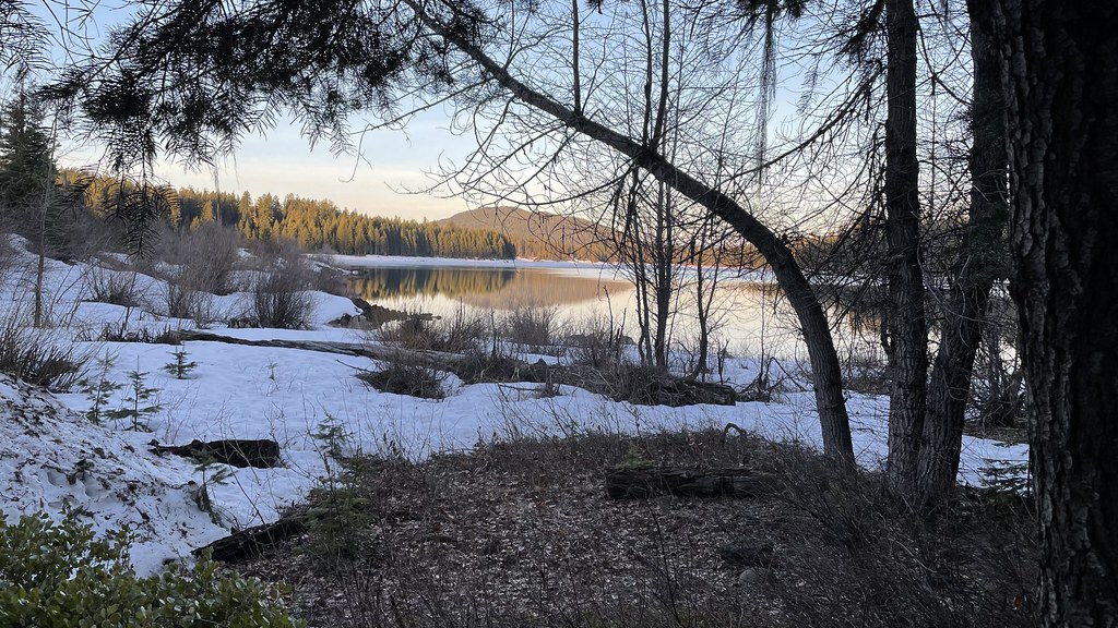 Photo: jfdervin, CC BY-SA 2.0 (via Flickr)
LOLLIPOP LOOP NORDIC
~2 min drive
7.96-mile out-and-back trail in Oregon with 1,260 ft elevation gain
Photo: jfdervin, CC BY-SA 2.0 (via Flickr)Pct - Oregon Section C
~2 min drive
73.78-mile point-to-point trail in Oregon with 5,925 ft gain.
 Photo: Holzwerk, CC BY 2.0 (via Flickr)
FOURMILE LAKE
~7 min drive
11.56-mile out-and-back trail to Fourmile Lake in Oregon with 1,933 ft elevation gain.
Photo: Holzwerk, CC BY 2.0 (via Flickr)Rye Loop
~7 min drive
Rye Loop is a 1.40-mile loop in Oregon with 61 ft gain.
Photo: Holzwerk, CC BY 2.0 (via Flickr)HYATT LAKE
~6 min drive
5.4-mile out-and-back trail to Hyatt Lake in Oregon with 1,319 ft elevation gain.
 Photo: U.S. Forest Service- Pacific Northwest Region, Public domain (via Wikimedia Commons)
FISH LAKE SNOMO
~5 min drive
17.8-mile out-and-back trail in Oregon with 3,377 ft gain/loss and 4,999 ft max elevation.
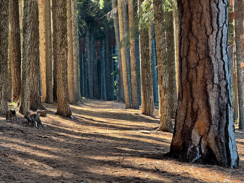 Photo: Holzwerk, CC BY 2.0 (via Flickr)
BILLIE CREEK LOOP
~7 min drive
11.62-mile out-and-back out-and-back in Oregon with 1,770 ft elevation gain
 Photo: ex_magician, CC BY 2.0 (via Flickr)
Freye Lake
~7 min drive
0.40-mile out-and-back trail to Freye Lake in Oregon, 55 feet of elevation loss.
 Photo: ex_magician, CC BY 2.0 (via Flickr)
Brown Mountain North Trail #3724
~6 min drive
Short out-and-back hike on Brown Mountain's north slope with Cascade views.
Photo: ex_magician, CC BY 2.0 (via Flickr)Mt. Mcloughlin Trail
~7 min drive
Point-to-point ascent of a prominent Cascade volcanic peak with expansive views.
Outfitters and businesses. They haven’t set up their Roamze page yet.
Ashland Family YMCA
Hiking business nearby (~25 mi away) — hasn't claimed their Roamze page yet
Momentum River Expeditions
Hiking business nearby (~25 mi away) — hasn't claimed their Roamze page yet
Sky Lakes Wilderness Adventures
Hiking business nearby (~26 mi away) — hasn't claimed their Roamze page yet
