Baty Butte
- 5,060 ft
- summit
- 2
- ways up
Is Baty Butte open right now?
Closure in the area
There's a closure order in Clackamas River Ranger District. It doesn't name Baty Butte, so check the source for the area it covers (2 listed).
Austin Fire Closure
Agency closure covering Clackamas River Ranger District · Order 06-06-05-26-20 · USFS · Clackamas River Ranger District
Clackamas River RD Fires
Agency closure covering Clackamas River Ranger District · Order 06-06-05-26-20 · USFS · Clackamas River Ranger District
Tamanawas Falls Trail closed due to instability hazards
Agency alert covering Mt. Hood National Forest · USFS · Mt. Hood National Forest
Emergency fire closure on FR 57
Agency alert covering Clackamas River Ranger District · USFS · Clackamas River Ranger District
Eagle Creek Fire Area Closures
Agency alert covering Mt. Hood National Forest · Order 06-22-01-26-04 · USFS · Mt. Hood National Forest
As of · Source: USFS · Clackamas River Ranger District. Agencies don't list every closure — check before you go.
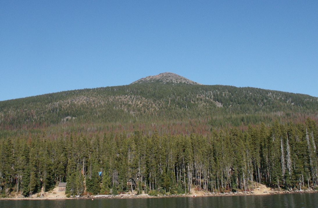
Baty Butte is a summit in the Clackamas River Ranger District of Mt. Hood National Forest in Oregon. The nearest town is Detroit, about 18 miles away. The East Table Rock-Joyce Lake - Batty Butte Trail starts just over half a mile away, and Skookum Lake is a hike about 1.8 miles off. Lost Creek offers canoeing at a similar distance. Kingfisher Campground is about 5.5 miles away if you want to camp.
Conditions and forecast
Daily highs and lows, wind and the chance of precipitation at the summit and route start for the next 7 days, from the Open-Meteo model.
- Summit elevation
- 5,060 ft
Elevation from USGS 3D Elevation Program terrain data (about 10 m resolution).
- East Table Rock-Joyce Lake - Batty Butte TrailHardabout 3,975 ft of climbing10.7 mi round trip
- Baty ButteHardabout 2,231 ft of climbing7.7 mi round trip
Compare the routes East Table Rock-Joyce Lake - Batty Butte Trail Baty Butte Climbing About 3,975 ft About 2,231 ft Round trip 10.7 mi 7.7 mi Difficulty Hard Hard Terrain Hike Hike Map © Mapbox © OpenStreetMap contributors Questions about Baty Butte
How tall is Baty Butte?
5,060 ft (1,542 m).
How many routes go to the summit of Baty Butte?
2: East Table Rock-Joyce Lake - Batty Butte Trail and Baty Butte.
What is the shortest route up Baty Butte?
Baty Butte, about 7.7 mi round trip.
- Thunder Mountain5,177 ft · Oregon2 routes1.7 mi away
- Table Rock4,889 ft · Oregon1 route5.7 mi away
- Fish Creek Mountain5,092 ft · Oregon1 route6.8 mi away
- South Fork Mountain4,857 ft · Oregon1 route6.8 mi away
- Bull of the Woods5,543 ft · Oregon1 route9.3 mi away
- Big Slide Mountain5,527 ft · Oregon1 route9.6 mi away
- East Table Rock-Joyce Lake - Batty Butte TrailHiking0.6 mi
- Skookum LakeHiking1.8 mi
- Lost CreekCanoeing1.8 mi
- Fish CreekCanoeing3.4 mi
 KingfisherCampingPhoto: Recreation.gov (RIDB) / public domain5.5 mi
 RaabCampingPhoto: Recreation.gov (RIDB) / public domain6.9 mi
- CoethedralRock climbing7 mi
- Coethedral MainRock climbing7.5 mi
Source: Roamze catalog (indexable pages within 10 miles, PostGIS distance)
 Olallie ButteSummit · ~42 min drivePhoto: M.O. Stevens at en.wikipedia, Public domain (via Wikimedia Commons)
 Mount JeffersonSummit · ~51 min drivePhoto: Jsayre64, CC BY-SA 3.0 (via Wikimedia Commons)
- Thunder MountainSummit · ~3 min drive
- Table RockSummit · ~10 min drive
- Fish Creek MountainSummit · ~12 min drive
- South Fork MountainSummit · ~12 min drive
- Whetstone MountainSummit · ~16 min drive
- Bull of the WoodsSummit · ~16 min drive
- Big Slide MountainSummit · ~16 min drive
- Mount LoweSummit · ~20 min drive


