Oregon · Summit
Mount Jefferson
 Photo: Jsayre64, CC BY-SA 3.0 (via Wikimedia Commons)
- 10,502 ft
- summit
Loading this week's forecast
Mount Jefferson is a summit in Jefferson County, Oregon, at about 10,502 feet.
Conditions and forecast
Daily highs and lows, wind and the chance of precipitation at the summit for the next 7 days, from the Open-Meteo model.
- Summit elevation
- 10,502 ft
Elevation from USGS 3D Elevation Program terrain data (about 10 m resolution).
We don't know of a mapped trail or route to the summit of Mount Jefferson. Plan the approach with local maps, a guidebook or a local guide, and check conditions before you go.
Questions about Mount Jefferson
How tall is Mount Jefferson?
10,502 ft (3,201 m).
Is there a trail to the top of Mount Jefferson?
We don't know of a mapped trail or route to the summit. Plan the approach with local maps, a guidebook or a local guide.
 Climber's TrailHikingPhoto: Nwcamera1, CC BY-SA 3.0 (via Wikimedia Commons)2.3 mi
- Hunts CreekHiking2.5 mi
- Pamelia LakeHiking2.9 mi
- Whitewater CreekCanoeing5.1 mi
- Pamelia CreekCanoeing5.3 mi
- Breitenbush LakeCamping6.5 mi
- Horseshoe Lake (Olallie)Camping7.4 mi
- Shepard's TowerRock climbing9.5 mi
Source: Roamze catalog (indexable pages within 10 miles, PostGIS distance)
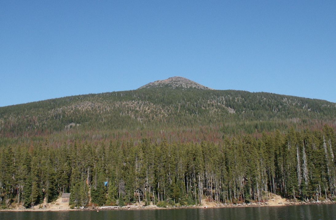 Olallie ButteSummit · ~18 min drivePhoto: M.O. Stevens at en.wikipedia, Public domain (via Wikimedia Commons)
 Hayrick ButteSummit · ~33 min drivePhoto: Jsayre64, CC BY-SA 3.0 (via Wikimedia Commons)
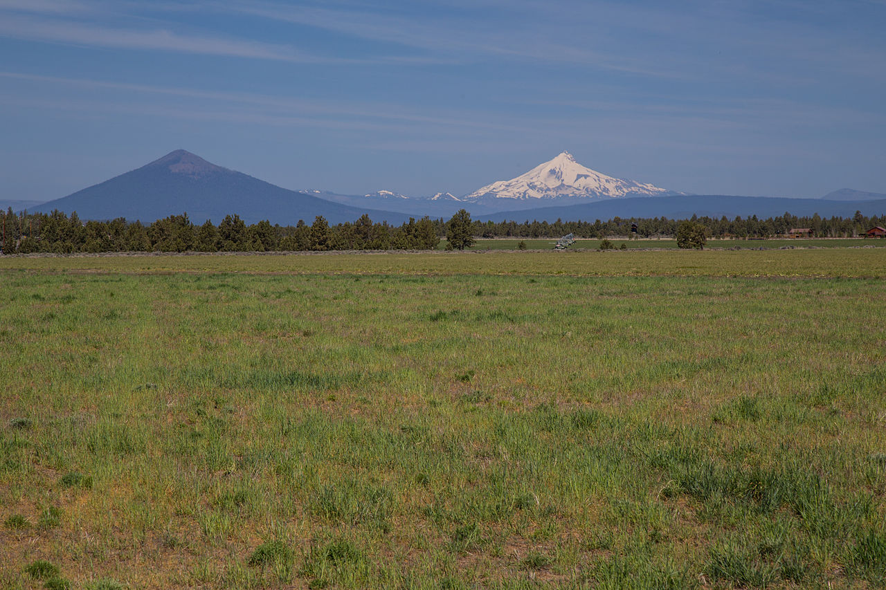 Black ButteSummit · ~35 min drivePhoto: Johnny.m76, CC BY 3.0 (via Wikimedia Commons)
 Mount WashingtonSummit · ~41 min drivePhoto: Lyn Topinka, USGS, Public domain (via Wikimedia Commons)
 Three Fingered JackSummit · ~23 min drivePhoto: Johannes Menzel, CC BY-SA 4.0 (via Wikimedia Commons)
 Hogg RockSummit · ~31 min drivePhoto: Tedder (talk · contribs), CC BY 3.0 (via Wikimedia Commons)
 Hoodoo ButteSummit · ~33 min drivePhoto: Rvannatta, CC BY-SA 3.0 (via Wikimedia Commons)
- Grizzly PeakSummit · ~6 min drive
- Pyramid ButteSummit · ~10 min drive
- Double PeaksSummit · ~15 min drive
Also worth it near here

