Big Slide Mountain
- 5,527 ft
- summit
- 1
- way up
Is Big Slide Mountain open right now?
Closure in the area
There's a closure order in Clackamas River Ranger District. It doesn't name Big Slide Mountain, so check the source for the area it covers (2 listed).
Austin Fire Closure
Agency closure covering Clackamas River Ranger District · Order 06-06-05-26-20 · USFS · Clackamas River Ranger District
Clackamas River RD Fires
Agency closure covering Clackamas River Ranger District · Order 06-06-05-26-20 · USFS · Clackamas River Ranger District
Tamanawas Falls Trail closed due to instability hazards
Agency alert covering Mt. Hood National Forest · USFS · Mt. Hood National Forest
Emergency fire closure on FR 57
Agency alert covering Clackamas River Ranger District · USFS · Clackamas River Ranger District
Eagle Creek Fire Area Closures
Agency alert covering Mt. Hood National Forest · Order 06-22-01-26-04 · USFS · Mt. Hood National Forest
As of · Source: USFS · Clackamas River Ranger District. Agencies don't list every closure — check before you go.
Big Slide Mountain is a summit in the Bull of the Woods Wilderness, part of the Clackamas River Ranger District of Mt. Hood National Forest in Oregon. The nearest town is Detroit, about 12 miles away. Fire activity has affected the area recently. Several trails start close by. West Lake Way, Schreiner Peak and Mother Lode are all within about a mile. Elk Lake Campground, about 5.5 miles off, is the nearest of the listed campgrounds.
Conditions and forecast
Daily highs and lows, wind and the chance of precipitation at the summit and route start for the next 7 days, from the Open-Meteo model.
- Summit elevation
- 5,527 ft
Elevation from USGS 3D Elevation Program terrain data (about 10 m resolution).
Map © Mapbox © OpenStreetMap contributors Questions about Big Slide Mountain
How tall is Big Slide Mountain?
5,527 ft (1,685 m).
How many routes go to the summit of Big Slide Mountain?
One: Schreiner Peak.
- West Lake WayHiking1 mi
- Schreiner PeakHiking1.1 mi
- Mother LodeHiking1.2 mi
- East Fork Collawash RiverCanoeing4.5 mi
- Hot Springs ForkCanoeing4.9 mi
 Collawash RiverCanoeingPhoto: Unknown author or not provided, Public domain (via Wikimedia Commons)5.3 mi
- Elk Lake CampgroundCamping5.5 mi
 KingfisherCampingPhoto: Recreation.gov (RIDB) / public domain6 mi
Source: Roamze catalog (indexable pages within 10 miles, PostGIS distance)
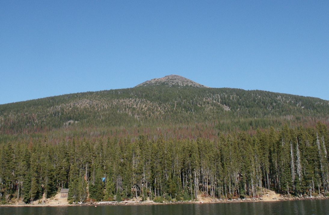 Olallie ButteSummit · ~27 min drivePhoto: M.O. Stevens at en.wikipedia, Public domain (via Wikimedia Commons)
 Mount JeffersonSummit · ~34 min drivePhoto: Jsayre64, CC BY-SA 3.0 (via Wikimedia Commons)
- Bull of the WoodsSummit · ~2 min drive
- Battle AxSummit · ~10 min drive
- Gold ButteSummit · ~10 min drive
- Mount LoweSummit · ~11 min drive
- Whetstone MountainSummit · ~12 min drive
- Byars PeakSummit · ~14 min drive
- Boulder PeakSummit · ~14 min drive
- Thunder MountainSummit · ~14 min drive
Also worth it near here
- Schreiner PeakMountain biking · Next door
 Gold Butte LookoutHiking · ~9 min drivePhoto: U.S. Forest Service- Pacific Northwest Region, Public domain (via Wikimedia Commons)
- Collawash RiverCanoeing · ~9 min drivePhoto: Unknown author or not provided, Public domain (via Wikimedia Commons)
- Elk LakeLake fishing · ~9 min drive
