Baty Butte
- 7.7 mi
- round trip
- 2,231 ft
- climb
- 4,871 ft
- high point
- Out and back
- route
Is Baty Butte open right now?
Closure in the area
There's a closure order in Clackamas River Ranger District. It doesn't name Baty Butte, so check the source for the area it covers.
Clackamas River RD Fires
Agency closure covering Clackamas River Ranger District · Order 06-06-05-26-20 · USFS · Clackamas River Ranger District
Emergency fire closure on FR 57
Agency alert covering Clackamas River Ranger District · USFS · Clackamas River Ranger District
Eagle Creek Fire Area Closures
Agency alert covering Mt. Hood National Forest · Order 06-22-01-26-04 · USFS · Mt. Hood National Forest
Roadside Danger Trees Health and Safety Closure
Agency alert covering Clackamas River Ranger District · Order 06-06-05-26-02 · USFS · Clackamas River Ranger District
FR 4613 road damage- use caution
Agency alert covering Mt. Hood National Forest · USFS · Mt. Hood National Forest
As of · Source: USFS · Clackamas River Ranger District. Agencies don't list every closure — check before you go.
Baty Butte is a hard hike in the Clackamas River Ranger District of Mt. Hood National Forest in Oregon, managed by the Forest Service. The route is an out-and-back of about 7.7 miles, with a total elevation gain of 2,231 feet. The climb is steady, and the steepest stretch comes early, around 0.24 miles from the start, where the grade reaches 21 percent. The trail's natural surface makes for a rugged outing. The hike begins at an elevation of about 4,417 feet and reaches a high point of 4,871 feet. The round trip includes about 2,231 feet of ascent and the same amount of descent. The trip takes about 3.5 hours. Joyce Lake Trail lies about a mile away, and the East Table Rock-Joyce Lake - Batty Butte Trail is about 2.5 miles off. For paddling, Nohorn Creek is about 2.1 miles away. Kingfisher campground is about 7 miles from the trail.
Local outfitters
- Horseback Riding Adventures Oregon23 mi away
- Tree Climbing at Silver Falls29 mi away
Not on Roamze yet. Their page has how to reach them.
Keep exploring — more trails worth the drive
 Photo: mjfmjfmjf, CC BY 2.0 (via Flickr)
Bagby Trail #544
~6 min drive
10.68-mile out-and-back trail in Oregon with 3,373 ft elevation gain.
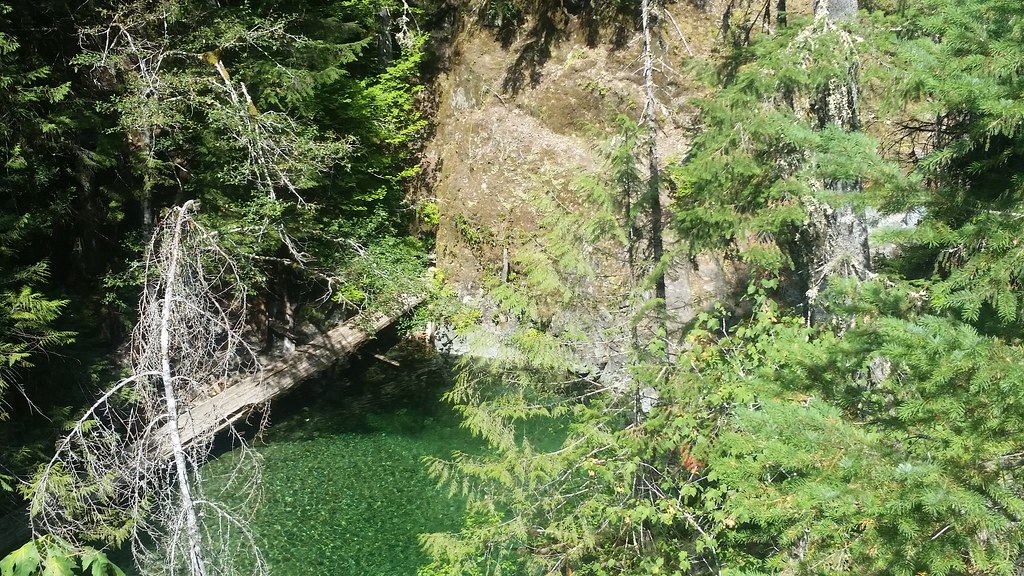 Photo: mjfmjfmjf, CC BY 2.0 (via Flickr)
Nasty Rock Trail #3356
~12 min drive
5.64-mile out-and-back hike in Oregon with 3,350 ft elevation gain and loss.
 Photo: U.S. Forest Service- Pacific Northwest Region, Public domain (via Wikimedia Commons)
Kopetski Trail
~13 min drive
1.38-mile out-and-back hike in Oregon with 1,051 ft elevation gain.
 Photo: U.S. Forest Service- Pacific Northwest Region, Public domain (via Wikimedia Commons)
Battle Axe Creek
~13 min drive
1.40-mile out-and-back trail at Battle Axe Creek in Oregon with 304 ft gain.
HIKE
Battle Ax Creek Trail #3339
~13 min drive
12.18-mile out-and-back trail in Oregon with 4,622 ft elevation gain/loss
 Photo: Forest Service Pacific Northwest Region, Public Domain Mark (via Flickr)
Ogle Mountain
~16 min drive
2.80-mile out-and-back trail to Ogle Mountain summit in Oregon with 1,910 ft gain
 Photo: Forest Service Pacific Northwest Region, Public Domain Mark (via Flickr)
Henline Mountain
~15 min drive
5.12-mile out-and-back trail in Oregon with 2,830 ft elevation gain.
 Photo: mjfmjfmjf, CC BY 2.0 (via Flickr)
Opal Creek Trail
~14 min drive
1.25-mile out-and-back trail in Oregon with 715 ft of elevation gain.
HIKE
Table Rock Wilderness-High Ridge Trail
~15 min drive
Scenic ridgeline out-and-back with expansive views in Table Rock Wilderness.
HIKE
East Table Rock-Joyce Lake - Batty Butte Trail
~4 min drive
Out-and-back alpine trail linking East Table Rock, Joyce Lake, and Batty Butte with volcanic views.

Route details
- Distance
- 7.7 mi round trip
- Climbing
- About 2,231 ft
- Summit
- 5,060 ft
- Difficulty
- Hard
- Time
- About 3 hours
Other routes up Baty Butte
Questions about this route
How long is the Baty Butte on Baty Butte?
About 7.7 mi round trip.
How much elevation gain is on the Baty Butte?
About 2,231 ft of climbing round trip.
How hard is the Baty Butte?
It is rated hard.
How long does the Baty Butte take?
About 3 hours round trip.
How many routes go up Baty Butte?
2: East Table Rock-Joyce Lake - Batty Butte Trail and Baty Butte.
Conditions and forecast on Baty Butte
Daily highs and lows, wind and the chance of precipitation at the summit and route start for the next 7 days, from the Open-Meteo model.
