Copperfield Boat Ramp
- Mar–Jun, Sep–Oct
- best months
Copperfield Boat Ramp is a boat launch in Oregon, about 14 miles from the town of Halfway. It serves as a put-in point for getting a boat onto the water in this corner of eastern Oregon, close to the Idaho line. For comfortable weather, aim for late spring or early fall. Typical averages from the nearby Brownlee Dam weather station show May highs around 74°F and September highs around 83°F, while July and August average highs near 95°F. Those are typical figures from a station at a similar elevation, so they should be a fair guide for conditions at the ramp. Lake Fork Campground sits about 3 miles away, and North Pine Creek offers canoeing roughly 3.5 miles off. A little farther out, Copper Creek Campground and the Hells Canyon Reservoir Trail are both about 7.5 miles from the ramp.
- Lake Fork CampgroundCamping3.2 mi
- North Pine CreekCanoeing3.5 mi
- Lake Fork CreekCanoeing7.4 mi
- Hells Canyon Reservoir TrailHiking7.5 mi
- Copper Creek CampgroundCamping7.5 mi
- Lime Point CreekHiking7.7 mi
- Coverdale CampgroundCamping9.1 mi
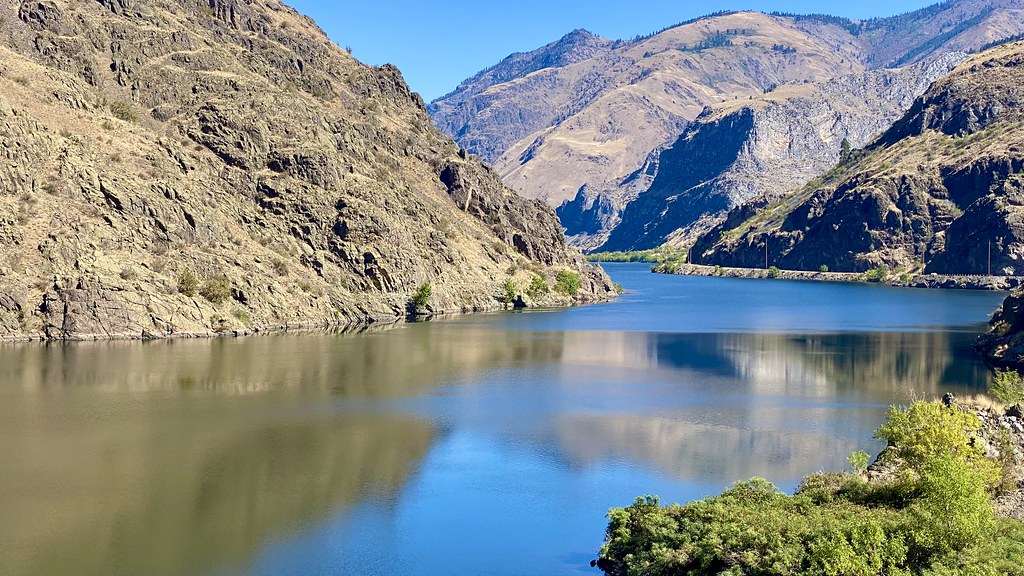 Reservoir Bench TrailHikingPhoto: lamblukas, CC BY 2.0 (via Flickr)9.4 mi
Source: Roamze catalog (indexable pages within 10 miles, PostGIS distance)
 Imnaha RiverCanoeing · ~19 min drivePhoto: Sam Beebe, CC BY 2.0 (via Wikimedia Commons)
- Bob Creek Boat LaunchBoat launch · ~2 min drive
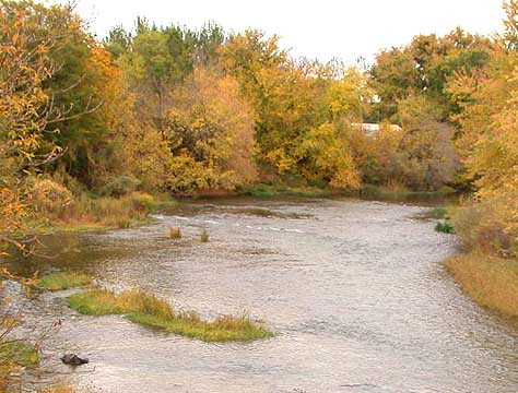 Weiser RiverCanoeing · ~39 min drivePhoto: Decumanus, CC BY-SA 3.0 (via Wikimedia Commons)
- Copper Creek Boat LaunchBoat launch · ~13 min drive
 Little Salmon RiverCanoeing · ~48 min drivePhoto: NOAA, Public domain (via Wikimedia Commons)
- Lost Valley Reservoir Boat RampBoat launch · ~34 min drive
 Wallowa RiverCanoeing · ~57 min drivePhoto: pfly from Pugetopolis, CC BY-SA 2.0 (via Wikimedia Commons)
- Hells Canyon Creek Boat LaunchBoat launch · ~35 min drive
 Lostine RiverCanoeing · ~59 min drivePhoto: Finetooth, CC BY-SA 3.0 (via Wikimedia Commons)
- Swede's Landing Boat LaunchBoat launch · ~46 min drive
Best time to visit Copperfield Boat Ramp
Best months: March–June and September–October. Best months have typical highs of 55–85 °F, lows of 30 °F or warmer (32 °F where the station doesn't record snow), at most one snowy day and no more than 12 wet days.
Jan
39° / 28°
12 wet
Feb
45° / 30°
10 wet
Mar
55° / 35°
11 wet
Apr
64° / 42°
10 wet
May
74° / 50°
10 wet
Jun
83° / 56°
7 wet
Jul
95° / 64°
3 wet
Aug
94° / 63°
3 wet
Sep
83° / 55°
3 wet
Oct
66° / 45°
7 wet
Nov
50° / 35°
10 wet
Dec
40° / 29°
13 wet
Typical high / low (°F) and days with rain or snow, 1991–2020. Measured at Brownlee Dam, ID, 10.4 mi away at 1,844 ft. This station doesn't record snowfall. Source: NOAA NCEI U.S. Climate Normals 1991–2020.
Map and trail data © OpenStreetMap contributors
