Hells Canyon Creek Boat Launch
- Jun, Sep–Oct
- best months
Get a permit
Hells Canyon of the Snake River · river launch
Reserve on Recreation.govIs Hells Canyon Creek Boat Launch open right now?
Closure in the area
There's a closure order in Wallowa-Whitman National Forest. It doesn't name Hells Canyon Creek Boat Launch, so check the source for the area it covers.
Anthony Fire Area Closure
Agency closure covering Wallowa-Whitman National Forest · USFS · Wallowa-Whitman National Forest
PHASE B FIRE RESTRICTIONS WALLOW-WHITMAN NATIONAL FOREST
Agency alert covering Wallowa-Whitman National Forest · Order 06-16-00-25-01 · USFS · Wallowa-Whitman National Forest
PHASE A FIRE RESTRICTIONS Wallowa-Whitman NATIONAL FOREST
Agency alert covering Wallowa-Whitman National Forest · Order 06-16-00-25-00 · USFS · Wallowa-Whitman National Forest
As of · Source: USFS · Wallowa-Whitman National Forest. Agencies don't list every closure — check before you go.
Hells Canyon Creek Boat Launch is a Forest Service boat launch in Oregon's Hells Canyon National Recreation Area, part of the Wallowa-Whitman National Forest. The nearest town is Riggins, Idaho, about 22 miles away. The launch sits right beside the Stud Creek Trail, which starts just 0.1 mile away. The Snake River National Recreation Trail is about a mile off, and Eagle Bar campground is roughly 2.4 miles away. These make it easy to pair a paddle with a walk or an overnight stay. Summer is the warmest stretch for getting on the water. Typical averages from a nearby weather station in Riggins, Idaho, show July and August highs around 90°F with only four or five wet days a month, while September cools to highs near 79°F with lows around 45°F. Winter is cold, with January highs around 41°F and lows near 25°F. Other nearby spots include Granite Creek, a canoeing route about 4 miles away, and the Hells Canyon climbing area, about 8.6 miles off.
- Managed by
- Forest Service
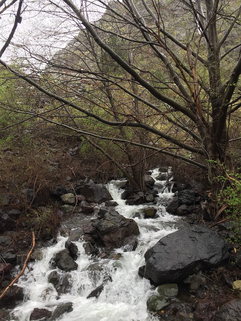 Stud Creek TrailHikingPhoto: Forest Service Pacific Northwest Region, Public Domain Mark (via Flickr)0.1 mi
 Snake River National Recreation TrailHikingPhoto: U.S. Forest Service- Pacific Northwest Region, Public domain (via Wikimedia Commons)1.1 mi
- Oxbow CreekHiking1.8 mi
- Eagle BarCamping2.4 mi
- Granite CreekCanoeing4.2 mi
- Black Lake CampgroundCamping7.9 mi
 Hells CanyonRock climbingPhoto: lamblukas, CC BY 2.0 (via Flickr)8.6 mi
- Grouse CreekCanoeing9.9 mi
Source: Roamze catalog (indexable pages within 10 miles, PostGIS distance)
 Imnaha RiverCanoeing · ~29 min drivePhoto: Sam Beebe, CC BY 2.0 (via Wikimedia Commons)
- Copper Creek Boat LaunchBoat launch · ~22 min drive
- Island Bar Recreation SiteFloat trip · ~41 min drive
 Little Salmon RiverCanoeing · ~43 min drivePhoto: NOAA, Public domain (via Wikimedia Commons)
- Bob Creek Boat LaunchBoat launch · ~33 min drive
- Lucile Recreation SiteFloat trip · ~46 min drive
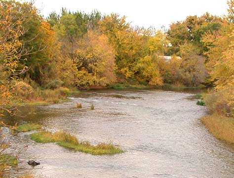 Weiser RiverCanoeing · ~47 min drivePhoto: Decumanus, CC BY-SA 3.0 (via Wikimedia Commons)
- Copperfield Boat RampBoat launch · ~35 min drive
- Pittsburg Landing Boat LaunchFloat trip · ~48 min drive
 Wallowa RiverCanoeing · ~49 min drivePhoto: pfly from Pugetopolis, CC BY-SA 2.0 (via Wikimedia Commons)
Best time to visit Hells Canyon Creek Boat Launch
Best months: June and September–October. Best months have typical highs of 55–85 °F, lows of 30 °F or warmer (32 °F where the station doesn't record snow), at most one snowy day and no more than 12 wet days.
Jan
41° / 25°
11 wet · 1 snow
Feb
46° / 26°
10 wet · 1 snow
Mar
55° / 30°
13 wet
Apr
62° / 35°
13 wet
May
71° / 41°
13 wet
Jun
78° / 47°
10 wet
Jul
90° / 52°
5 wet
Aug
90° / 52°
4 wet
Sep
79° / 45°
5 wet
Oct
63° / 36°
8 wet
Nov
48° / 29°
11 wet · 1 snow
Dec
40° / 24°
12 wet · 1 snow
Typical high / low (°F) and days with rain or snow, 1991–2020. Measured at Riggins, ID, 16.2 mi away at 2,056 ft. The station sits about 600 ft higher than this place, so expect it a little warmer here. Source: NOAA NCEI U.S. Climate Normals 1991–2020.
Map and trail data © OpenStreetMap contributors
