Scandia RV Park
Campground
Campground · 3.5 mi from the trail
 Photo: m01229, CC BY-SA 2.0 (via Flickr)
Closure in the area
There's a closure order in Deschutes National Forest. It doesn't name Sirius Trail, so check the source for the area it covers (3 listed).
West Bend Area Trail Closures
Agency closure covering Deschutes National Forest · USFS · Deschutes National Forest
West Bend IRSC- Area, Road and Trail Closure
Agency closure covering Bend/Fort Rock Ranger District · Order 06-01-01-26-03 · USFS · Bend/Fort Rock Ranger District
Cabin Butte Area Closure
Agency closure covering Bend/Fort Rock Ranger District · Order 06-01-01-26-01 · USFS · Bend/Fort Rock Ranger District
Camping & Campfire Restrictions Forest Order
Agency alert covering Deschutes National Forest · Order 06-01-26-01 · USFS · Deschutes National Forest
Cave Resource Protection Forest Order
Agency alert covering Deschutes National Forest · Order 06-01-26-02 · USFS · Deschutes National Forest
As of · Source: USFS · Deschutes National Forest. Agencies don't list every closure — check before you go.
The Sirius Trail is an easy out-and-back hike in the Bend/Fort Rock Ranger District of Oregon's Deschutes National Forest. The route is about 2.4 miles long, with a total elevation gain of 277 feet, and it ends at a high point of 3,968 feet. The climb is front-loaded, with the steepest stretch at about 0.3 miles from the start, where the grade reaches 8 percent. Summer is the most comfortable time to go. Typical averages from a nearby weather station in Bend show July highs around 84°F and only about two wet days a month in July and August. The station sits roughly 300 feet below the trail, so temperatures on the trail run a bit cooler. The hike takes about an hour to complete. The Rimrock Rover Trail lies just 0.3 miles away, and the Meadow Camp climbing area is about half a mile off. The River Loop and Cod Lower are also within a mile.
Scandia RV Park
Campground
Places © OpenStreetMap contributors, Places © Overture Maps Foundation
More in SistersNot on Roamze yet. Their page has how to reach them.
Rimrock Rover TrailHikingPhoto: m01229, CC BY-SA 2.0 (via Flickr)0.3 miSource: Roamze catalog (indexable pages within 10 miles, PostGIS distance)
Rimrock Rover TrailHiking · Next doorPhoto: m01229, CC BY-SA 2.0 (via Flickr)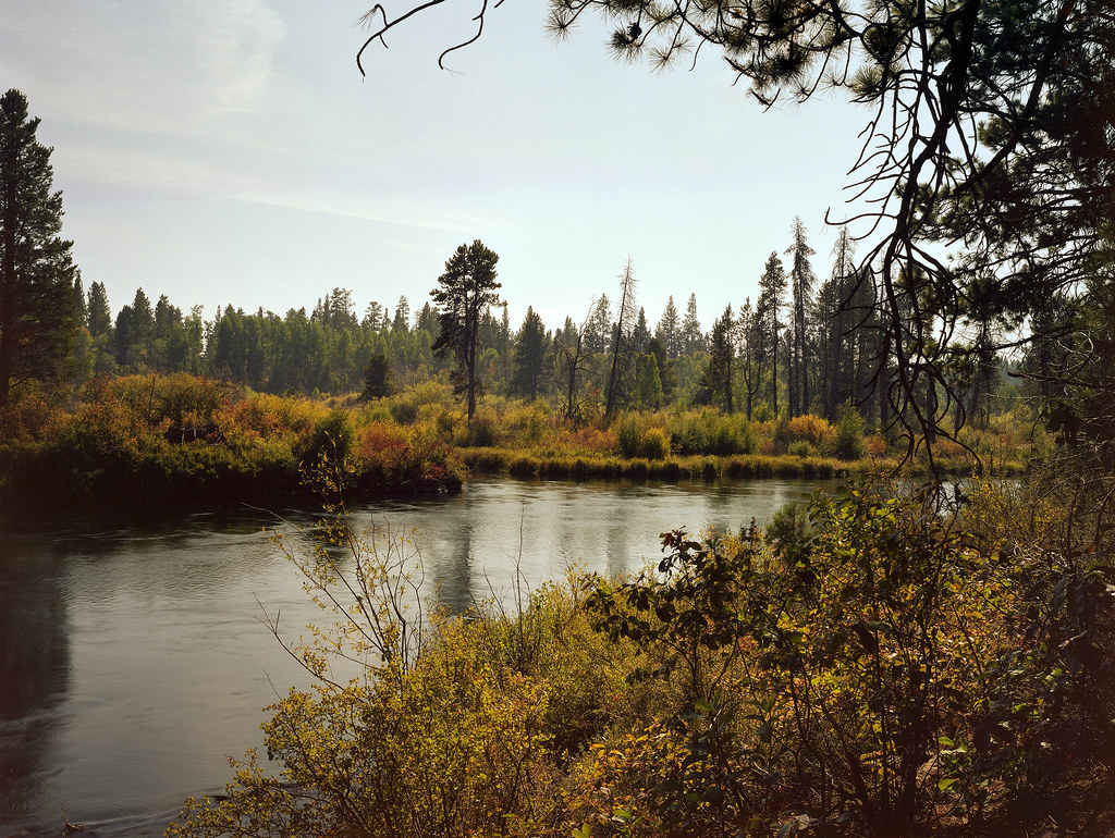 Deschutes River TrailHiking · ~6 min drivePhoto: Kayaker Bill, CC BY 2.0 (via Flickr)
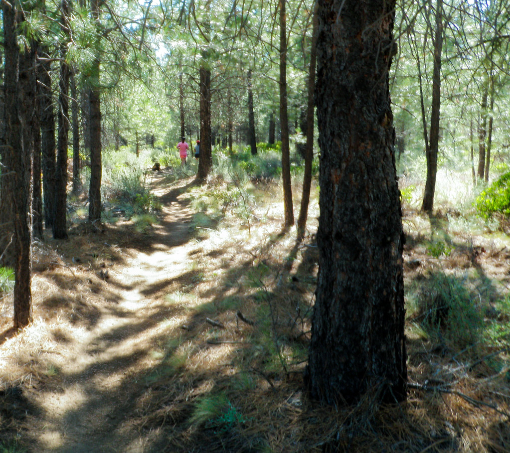 MrazekHiking · ~6 min drivePhoto: ex_magician, CC BY 2.0 (via Flickr)Entrada LoopHiking · ~2 min drivePhoto: m01229, CC BY-SA 2.0 (via Flickr)ElvHiking · ~2 min drivePhoto: m01229, CC BY-SA 2.0 (via Flickr)
 ONE HOUR HORSE LOOPHiking · ~4 min drivePhoto: Kayaker Bill, CC BY 2.0 (via Flickr)TWO HOUR HORSE LOOPHiking · ~5 min drivePhoto: Kayaker Bill, CC BY 2.0 (via Flickr)
Best months: April–October. Best months have typical highs of 55–85 °F, lows of 30 °F or warmer (32 °F where the station doesn't record snow), at most one snowy day and no more than 12 wet days.
Jan
43° / 25°
9 wet · 4 snow
Feb
46° / 24°
7 wet · 3 snow
Mar
52° / 28°
6 wet · 1 snow
Apr
58° / 31°
6 wet · 1 snow
May
66° / 37°
5 wet
Jun
74° / 42°
4 wet
Jul
84° / 49°
2 wet
Aug
83° / 48°
2 wet
Sep
76° / 41°
2 wet
Oct
63° / 34°
4 wet
Nov
49° / 28°
7 wet · 2 snow
Dec
41° / 23°
8 wet · 4 snow
Typical high / low (°F) and days with rain or snow, 1991–2020. Measured at Bend, OR, 5.6 mi away at 3,660 ft. Source: NOAA NCEI U.S. Climate Normals 1991–2020.
Map and trail data © OpenStreetMap contributors
