Hiker/ biker
Campground
Campground · 4.1 mi from the trail
Lower Deschutes River · river launch
Reserve on Recreation.govClear today
Weather is good · OpenWeather · checked just now
The Deschutes River is a 1.8-mile paddling stretch near Bend, Oregon, about 3.8 miles from town. It is an intermittent route, and the river may run dry in some seasons. USGS models an average flow of about 4,204 cubic feet per second and a gradient of about 290.6 feet per mile. Summer is the most comfortable time to paddle. Typical averages from a nearby weather station in Bend show July highs around 84°F with lows near 49°F and only about two wet days in the month. That station sits roughly 780 feet lower than the river, so temperatures on the water run cooler. Several trails start close by. Shevlin Loop Trail is about 0.2 miles away, Tumalo Creek Trail about 0.4 miles, and Manzanita Trail about 0.7 miles. Climbers can find the East Hillside Zone 1 area about 2.7 miles off.
Hiker/ biker
Campground
Bend Pizza Kitchen
Restaurant
Art Gallery Dyrk Godby
Gallery
Places © OpenStreetMap contributors
More in SistersNot on Roamze yet. Their page has how to reach them.
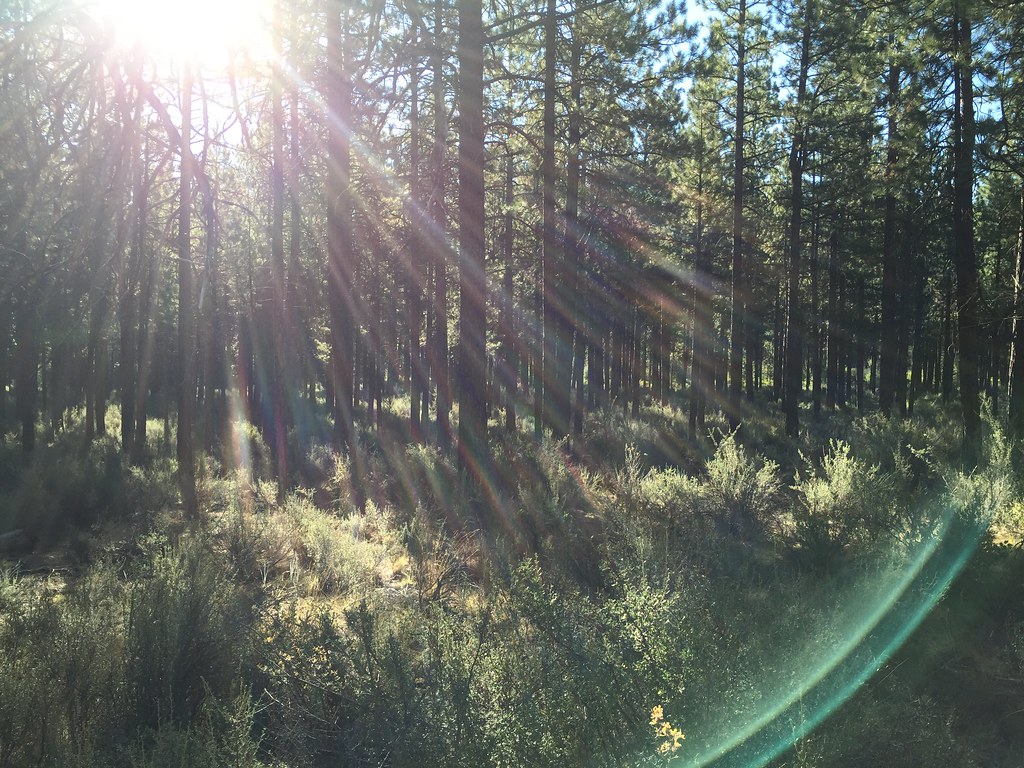 Shevlin Loop TrailHikingPhoto: igb, CC BY 2.0 (via Flickr)0.2 miTumalo Creek TrailHikingPhoto: igb, CC BY 2.0 (via Flickr)0.4 mi
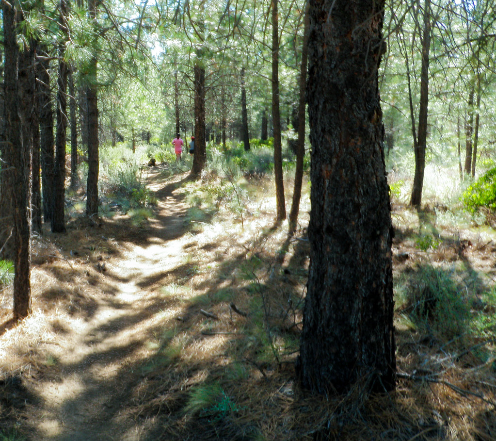 Tree Farm TrailHikingPhoto: ex_magician, CC BY 2.0 (via Flickr)1.5 mi
Source: Roamze catalog (indexable pages within 10 miles, PostGIS distance)
 Whychus CreekCanoeing · ~28 min drivePhoto: Ian Sane, CC BY 2.0 (via Wikimedia Commons)
 Horse CreekCanoeing · ~50 min drivePhoto: James B. Norman and Murray Stone, Photographers, Public domain (via Wikimedia Commons)
 French Pete CreekCanoeing · ~1h 2m drivePhoto: JAR, CC BY 2.0 (via Wikimedia Commons)
 South Fork McKenzie RiverCanoeing · ~56 min drivePhoto: Robert Ashworth, CC BY 2.0 (via Wikimedia Commons)
Best months: April–October. Best months have typical highs of 55–85 °F, lows of 30 °F or warmer (32 °F where the station doesn't record snow), at most one snowy day and no more than 12 wet days.
Jan
43° / 25°
9 wet · 4 snow
Feb
46° / 24°
7 wet · 3 snow
Mar
52° / 28°
6 wet · 1 snow
Apr
58° / 31°
6 wet · 1 snow
May
66° / 37°
5 wet
Jun
74° / 42°
4 wet
Jul
84° / 49°
2 wet
Aug
83° / 48°
2 wet
Sep
76° / 41°
2 wet
Oct
63° / 34°
4 wet
Nov
49° / 28°
7 wet · 2 snow
Dec
41° / 23°
8 wet · 4 snow
Typical high / low (°F) and days with rain or snow, 1991–2020. Measured at Bend, OR, 5.2 mi away at 3,660 ft. The station sits about 800 ft lower than this place, so expect it a little cooler here. Source: NOAA NCEI U.S. Climate Normals 1991–2020.
