Scandia RV Park
Campground
Campground · 2.6 mi from the trail
Deschutes River Hiking is a 7.8-mile out-and-back route on the Deschutes River in Oregon, about 2 miles from the community of Deschutes River Woods. The trail rises from a low point of 3,830 feet to a high of 3,965 feet, with the steepest stretch at about 3.2 miles in, where the grade reaches 11%. The climb totals 257 feet one way. The trail is natural-surfaced and allows bikes, so it works for hikers and riders alike. The most comfortable stretch for a visit runs from late spring through early fall. Typical averages from a nearby weather station in Bend show June highs around 74°F and September highs around 76°F, with only a couple of wet days a month in July and August. Winter brings highs in the low 40s and a few snow days each month from December through February. The trail opens from April 1 to October 31. Several other routes sit close by, including Rimrock Paved and Cod Connector (Tetherow), each about 0.1 mile away, and River Loop at half a mile. Climbers can find Meadow Camp, AKA Meadow Picnic Area, about 1.5 miles off.
Scandia RV Park
Campground
Rancho
Restaurant
Places © OpenStreetMap contributors
More in SistersNot on Roamze yet. Their page has how to reach them.
Best months: April–October. Best months have typical highs of 55–85 °F, lows of 30 °F or warmer (32 °F where the station doesn't record snow), at most one snowy day and no more than 12 wet days.
Jan
43° / 25°
9 wet · 4 snow
Feb
46° / 24°
7 wet · 3 snow
Mar
52° / 28°
6 wet · 1 snow
Apr
58° / 31°
6 wet · 1 snow
May
66° / 37°
5 wet
Jun
74° / 42°
4 wet
Jul
84° / 49°
2 wet
Aug
83° / 48°
2 wet
Sep
76° / 41°
2 wet
Oct
63° / 34°
4 wet
Nov
49° / 28°
7 wet · 2 snow
Dec
41° / 23°
8 wet · 4 snow
Typical high / low (°F) and days with rain or snow, 1991–2020. Measured at Bend, OR, 4.6 mi away at 3,660 ft. Source: NOAA NCEI U.S. Climate Normals 1991–2020.
 Photo: m01229, CC BY-SA 2.0 (via Flickr)
Entrada Loop
Next door
0.98-mile out-and-back trail in Oregon with 55 ft of elevation gain.
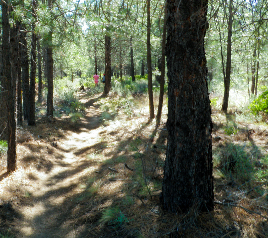 Photo: ex_magician, CC BY 2.0 (via Flickr)
Mrazek
~5 min drive
13.40-mile out-and-back trail in Oregon with 1,314 ft elevation gain.
Photo: m01229, CC BY-SA 2.0 (via Flickr)Rimrock Rover Trail
~1 min drive
1.18-mile out-and-back trail in Oregon with 228 ft elevation gain and loss.
HIKE
Kgb
Next door
9.14-mile out-and-back trail in Oregon with 741 ft gain
Photo: m01229, CC BY-SA 2.0 (via Flickr)Sirius Trail
~2 min drive
2.44-mile out-and-back hike in Oregon with 277 ft elevation gain
HIKE
Phil's
~3 min drive
16-mile out-and-back trail in Oregon with 1,307 ft elevation gain
Photo: m01229, CC BY-SA 2.0 (via Flickr)Elv
~3 min drive
1.86-mile out-and-back trail in Oregon with 122 ft of elevation gain.
HIKE
Marvins Garden
~3 min drive
9.50-mile out-and-back trail in Oregon with 254 ft gain.
Photo: ex_magician, CC BY 2.0 (via Flickr)West Bend Trail
~4 min drive
2.12-mile out-and-back trail in Oregon with 159 ft elevation gain
HIKE
Cod
~4 min drive
9.86-mile out-and-back trail in Oregon managed by the Forest Service.
