Scandia RV Park
Campground
Campground · 4.4 mi from the trail
 Photo: m01229, CC BY-SA 2.0 (via Flickr)
Closure in the area
There's a closure order in Deschutes National Forest. It doesn't name Elv, so check the source for the area it covers (3 listed).
West Bend Area Trail Closures
Agency closure covering Deschutes National Forest · USFS · Deschutes National Forest
West Bend IRSC- Area, Road and Trail Closure
Agency closure covering Bend/Fort Rock Ranger District · Order 06-01-01-26-03 · USFS · Bend/Fort Rock Ranger District
Cabin Butte Area Closure
Agency closure covering Bend/Fort Rock Ranger District · Order 06-01-01-26-01 · USFS · Bend/Fort Rock Ranger District
Camping & Campfire Restrictions Forest Order
Agency alert covering Deschutes National Forest · Order 06-01-26-01 · USFS · Deschutes National Forest
Cave Resource Protection Forest Order
Agency alert covering Deschutes National Forest · Order 06-01-26-02 · USFS · Deschutes National Forest
As of · Source: USFS · Deschutes National Forest. Agencies don't list every closure — check before you go.
Elv is an easy hike of about 1.9 miles in the Bend/Fort Rock Ranger District of Deschutes National Forest in Oregon, managed by the Forest Service. The trail is a short out-and-back with a total climb of about 140 feet, so it works well as a quick stop or a warm-up before heading to other spots in the area. The route is natural-surfaced and allows bikes, and horses are not permitted. The steepest part comes early, around 0.3 miles in, with a grade of about 5 percent. Summer is the most comfortable time to go. Typical averages from the nearby Sunriver weather station show July highs around 84°F with lows near 41°F, while winter highs sit in the low 40s. Several other trails and climbing areas lie close by. Cod Lower and Marvins Garden are each about 0.3 miles away, and the Widgi Left climbing area is about half a mile off. The Deschutes River, roughly 4.8 miles away, offers paddling.
Scandia RV Park
Campground
Rancho
Restaurant
Places © OpenStreetMap contributors
More in SistersNot on Roamze yet. Their page has how to reach them.
Best months: May–September. Best months have typical highs of 55–85 °F, lows of 30 °F or warmer (32 °F where the station doesn't record snow), at most one snowy day and no more than 12 wet days.
Jan
40° / 20°
Feb
43° / 21°
Mar
50° / 24°
Apr
57° / 25°
May
65° / 33°
Jun
72° / 37°
Jul
84° / 41°
Aug
83° / 40°
Sep
76° / 34°
Oct
62° / 28°
Nov
46° / 24°
Dec
37° / 19°
Typical high / low (°F) and days with rain or snow, 1991–2020. Measured at Sunriver, OR, 8.4 mi away at 4,180 ft. This station doesn't record snowfall. Source: NOAA NCEI U.S. Climate Normals 1991–2020.
Photo: m01229, CC BY-SA 2.0 (via Flickr)Sirius Trail
~2 min drive
2.44-mile out-and-back hike in Oregon with 277 ft elevation gain
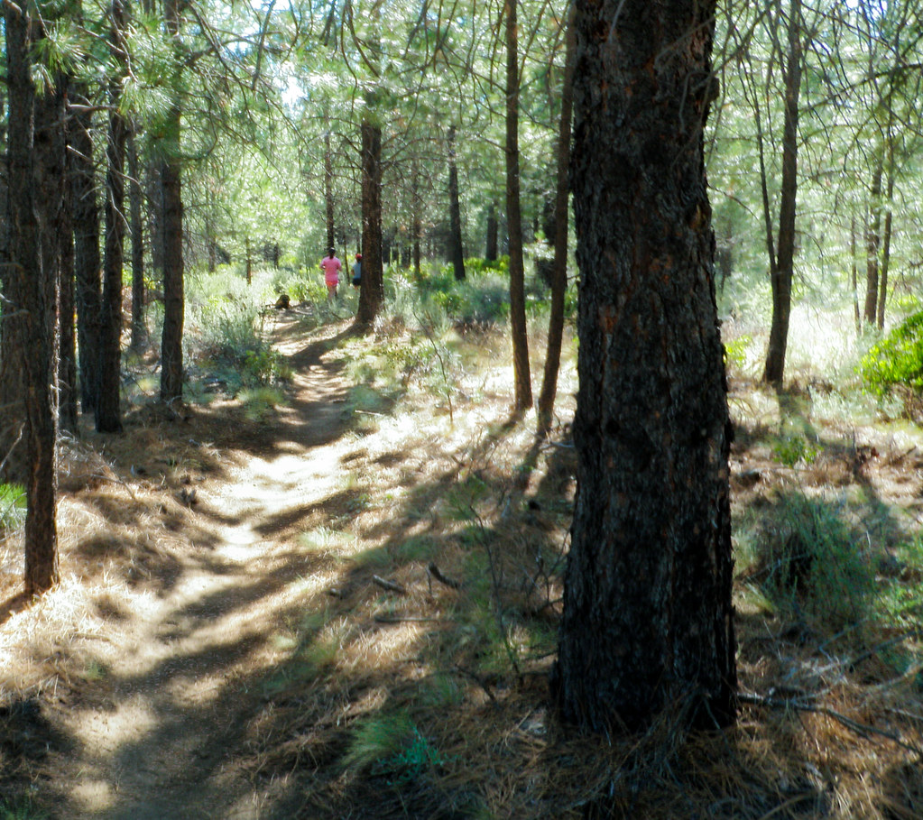 Photo: ex_magician, CC BY 2.0 (via Flickr)
Mrazek
~5 min drive
13.40-mile out-and-back trail in Oregon with 1,314 ft elevation gain.
Photo: m01229, CC BY-SA 2.0 (via Flickr)Rimrock Rover Trail
~2 min drive
1.18-mile out-and-back trail in Oregon with 228 ft elevation gain and loss.
HIKE
Marvins Garden
Next door
9.50-mile out-and-back trail in Oregon with 254 ft gain.
Photo: m01229, CC BY-SA 2.0 (via Flickr)Entrada Loop
~3 min drive
0.98-mile out-and-back trail in Oregon with 55 ft of elevation gain.
HIKE
Cod
~2 min drive
9.86-mile out-and-back trail in Oregon managed by the Forest Service.
 Photo: Kayaker Bill, CC BY 2.0 (via Flickr)
ONE HOUR HORSE LOOP
~4 min drive
3.78-mile out-and-back trail in Oregon with 385 ft elevation gain.
HIKE
Catch and Release
~2 min drive
9.64-mile out-and-back trail in Oregon with 526 ft elevation gain.
Photo: ex_magician, CC BY 2.0 (via Flickr)West Bend Trail
~4 min drive
2.12-mile out-and-back trail in Oregon with 159 ft elevation gain
HIKE
Ticket to Ride
~2 min drive
12.40-mile loop trail in Oregon with 4,950 ft elevation gain/loss.

