Shoalwater
- 3.0 mi
- round trip
- 958 ft
- climb
- 4,558 ft
- high point
- Out and back
- route
- May–Sep
- best months
Shoalwater is a moderate out-and-back hike in southern Oregon, about 6 miles from the town of Modoc Point. The route is roughly 6 miles long, with a total climb of about 960 feet, and the steepest stretch comes near the start, around 0.9 miles in, where the grade reaches about 11 percent. Summer is the most comfortable time to go. Typical averages from a nearby weather station at Chiloquin show July highs around 85°F with lows near 42°F and only a few wet days a month. Winter is cold and snowy, with highs near 39°F and about six snow days a month in January. Old Eagle sits just 0.1 mile away, and Modoc and Captain Jack are each about a mile off. For climbing, Spence Mountain Bouldering is roughly 5 miles away.
Local outfitters
- Sky Lakes Wilderness Adventures13 mi away
- Yamsi Fly Fishing15 mi away
Not on Roamze yet. Their page has how to reach them.
Best time to go · May–Sep
Best time to visit Shoalwater
Best months: May–September. Best months have typical highs of 55–85 °F, lows of 30 °F or warmer (32 °F where the station doesn't record snow), at most one snowy day and no more than 12 wet days.
Jan
39° / 19°
13 wet · 6 snow
Feb
44° / 22°
11 wet · 5 snow
Mar
50° / 25°
11 wet · 4 snow
Apr
57° / 28°
10 wet · 2 snow
May
66° / 33°
8 wet
Jun
75° / 37°
4 wet
Jul
85° / 42°
3 wet
Aug
84° / 41°
2 wet
Sep
77° / 34°
4 wet
Oct
64° / 27°
7 wet
Nov
48° / 24°
12 wet · 3 snow
Dec
39° / 19°
14 wet · 7 snow
Typical high / low (°F) and days with rain or snow, 1991–2020. Measured at Chiloquin 12 Nw (Fort Klamath), OR, 21.3 mi away at 4,180 ft. Source: NOAA NCEI U.S. Climate Normals 1991–2020.
Keep exploring — more trails worth the drive
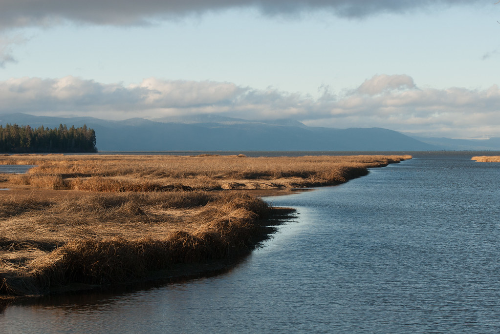 Photo: Jesse Wagstaff, CC BY 2.0 (via Flickr)
Modoc
~2 min drive
2.31-mile out-and-back trail in Oregon with 363 ft of elevation gain
Photo: Jesse Wagstaff, CC BY 2.0 (via Flickr)Captain Jack
~2 min drive
2.87-mile out-and-back trail in Oregon with 824 ft gain
 Photo: Holzwerk, CC BY 2.0 (via Flickr)
Tomahawk
~15 min drive
6-mile out-and-back trail in Oregon with 1,072 ft elevation gain.
HIKE
SWAN LAKE POINT
~14 min drive
23.4-mile out-and-back trail in Oregon with 2,877 ft elevation gain/loss
 Photo: lexly87 aka Duc N. Ly, CC BY-SA 2.0 (via Flickr)
Queen of the Lake
~8 min drive
1.94-mile out-and-back trail in Oregon with 576 ft elevation gain.
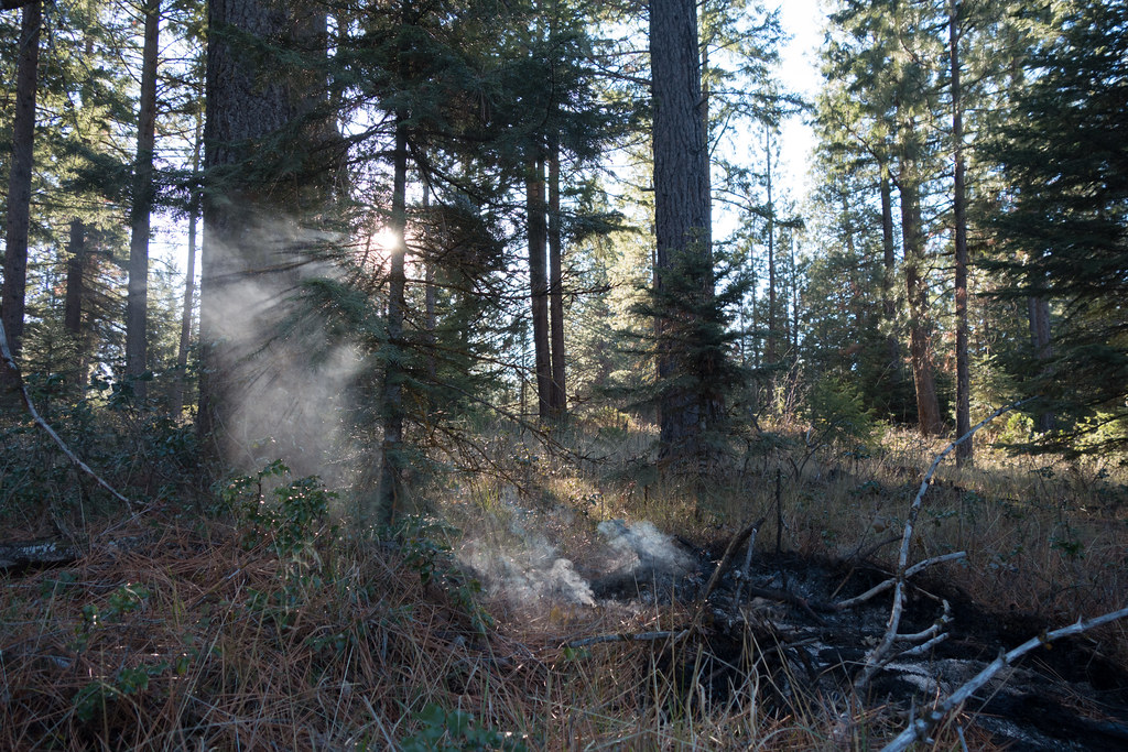 Photo: Jesse Wagstaff, CC BY 2.0 (via Flickr)
Mazama
~2 min drive
4.87-mile out-and-back trail in Oregon with 1,459 ft gain
 Photo: james shaw, CC BY-SA 3.0 (via Wikimedia Commons)
EAST FOURMILE LAKE
~21 min drive
10.22-mile out-and-back trail to East Fourmile Lake in Oregon with 1,683 ft gain
 Photo: U.S. Forest Service- Pacific Northwest Region, Public domain (via Wikimedia Commons)
Upper Klamath Canoe
~15 min drive
14.80-mile loop trail in Oregon with 143 ft elevation gain.
Photo: Jesse Wagstaff, CC BY 2.0 (via Flickr)Nighthawk
~3 min drive
1.72-mile out-and-back trail in Oregon with 1,167 ft elevation gain
 Photo: james shaw, CC BY-SA 3.0 (via Wikimedia Commons)
VARNEY CREEK SNOMO
~21 min drive
11.94-mile out-and-back trail in Oregon with 1,666 ft elevation gain and loss.

Map and trail data © OpenStreetMap contributors
