Modoc
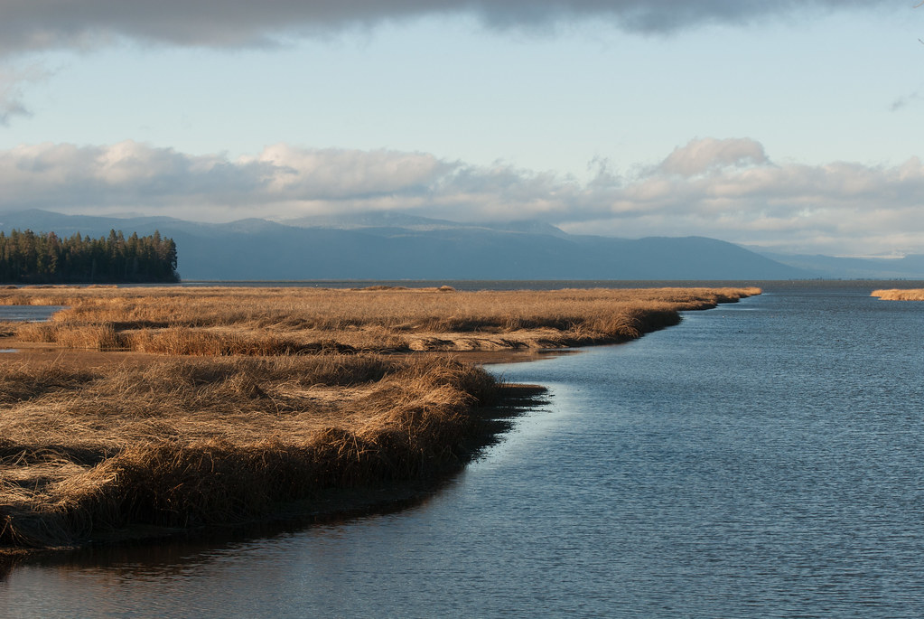 Photo: Jesse Wagstaff, CC BY 2.0 (via Flickr)
- 2.3 mi
- round trip
- 459 ft
- climb
- 4,785 ft
- high point
- Out and back
- route
- May–Jun, Sep
- best months
Clear today
Weather is good · OpenWeather · checked 3 h ago
Modoc is an easy out-and-back hike in southern Oregon, about 6 miles from the town of Modoc Point. The route is roughly 4.6 miles long, with a total climb of about 460 feet from the low point at 4,550 feet to the high at 4,785 feet. The steepest stretch comes at about 2 miles in, with a grade of about 6 percent. Late spring and early fall are the most comfortable times to go. Typical averages from the nearby Keno weather station show May highs around 68°F and September highs near 79°F, while July and August average in the upper 80s. Several other hikes start close by. Captain Jack is just 0.1 mile away, and Nighthawk, Chinquapin and Mazama are each under a mile off.
Local outfitters
- Yamsi Fly Fishing14 mi away
- Crater Lake Zipline and Kayak Tours14 mi away
Not on Roamze yet. Their page has how to reach them.
Best time to go · May–Jun, Sep
Best time to visit Modoc
Best months: May–June and September. Best months have typical highs of 55–85 °F, lows of 30 °F or warmer (32 °F where the station doesn't record snow), at most one snowy day and no more than 12 wet days.
Jan
41° / 21°
12 wet
Feb
46° / 23°
10 wet
Mar
52° / 26°
11 wet
Apr
58° / 30°
10 wet
May
68° / 37°
8 wet
Jun
77° / 43°
5 wet
Jul
88° / 49°
3 wet
Aug
87° / 47°
2 wet
Sep
79° / 39°
3 wet
Oct
64° / 31°
6 wet
Nov
49° / 25°
10 wet
Dec
40° / 21°
12 wet
Typical high / low (°F) and days with rain or snow, 1991–2020. Measured at Keno, OR, 20 mi away at 4,128 ft. The station sits about 700 ft lower than this place, so expect it a little cooler here. This station doesn't record snowfall. Source: NOAA NCEI U.S. Climate Normals 1991–2020.
Keep exploring — more trails worth the drive
 Photo: Jesse Wagstaff, CC BY 2.0 (via Flickr)
Nighthawk
~1 min drive
1.72-mile out-and-back trail in Oregon with 1,167 ft elevation gain
Photo: Jesse Wagstaff, CC BY 2.0 (via Flickr)Old Eagle
~2 min drive
1.70-mile out-and-back trail in Oregon with 421 ft gain
 Photo: Holzwerk, CC BY 2.0 (via Flickr)
Tomahawk
~16 min drive
6-mile out-and-back trail in Oregon with 1,072 ft elevation gain.
HIKE
SWAN LAKE POINT
~14 min drive
23.4-mile out-and-back trail in Oregon with 2,877 ft elevation gain/loss
Photo: Jesse Wagstaff, CC BY 2.0 (via Flickr)Chinquapin
~1 min drive
Chinquapin is a 2.11-mile out-and-back trail in Oregon.
 Photo: lexly87 aka Duc N. Ly, CC BY-SA 2.0 (via Flickr)
Queen of the Lake
~7 min drive
1.94-mile out-and-back trail in Oregon with 576 ft elevation gain.
 Photo: james shaw, CC BY-SA 3.0 (via Wikimedia Commons)
EAST FOURMILE LAKE
~21 min drive
10.22-mile out-and-back trail to East Fourmile Lake in Oregon with 1,683 ft gain
Photo: Jesse Wagstaff, CC BY 2.0 (via Flickr)Mazama
~2 min drive
4.87-mile out-and-back trail in Oregon with 1,459 ft gain
 Photo: U.S. Forest Service- Pacific Northwest Region, Public domain (via Wikimedia Commons)
Upper Klamath Canoe
~16 min drive
14.80-mile loop trail in Oregon with 143 ft elevation gain.
 Photo: james shaw, CC BY-SA 3.0 (via Wikimedia Commons)
VARNEY CREEK SNOMO
~21 min drive
11.94-mile out-and-back trail in Oregon with 1,666 ft elevation gain and loss.
Map and trail data © OpenStreetMap contributors
