The Camp
Campground
Campground · 4.2 mi from the trail
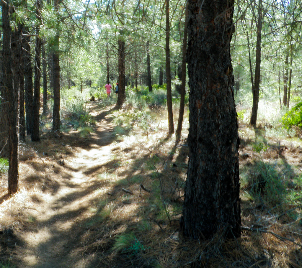 Photo: ex_magician, CC BY 2.0 (via Flickr)
Shevlin Loop Trail is a 1.66-mile out-and-back route in Oregon with 632 feet of elevation gain and loss. The trail reaches a maximum elevation of 3,728 feet.
The Camp
Campground
Rancher Butcher Chef
Restaurant
Art Gallery Dyrk Godby
Gallery
Places © OpenStreetMap contributors
More in SistersNot on Roamze yet. Their page has how to reach them.
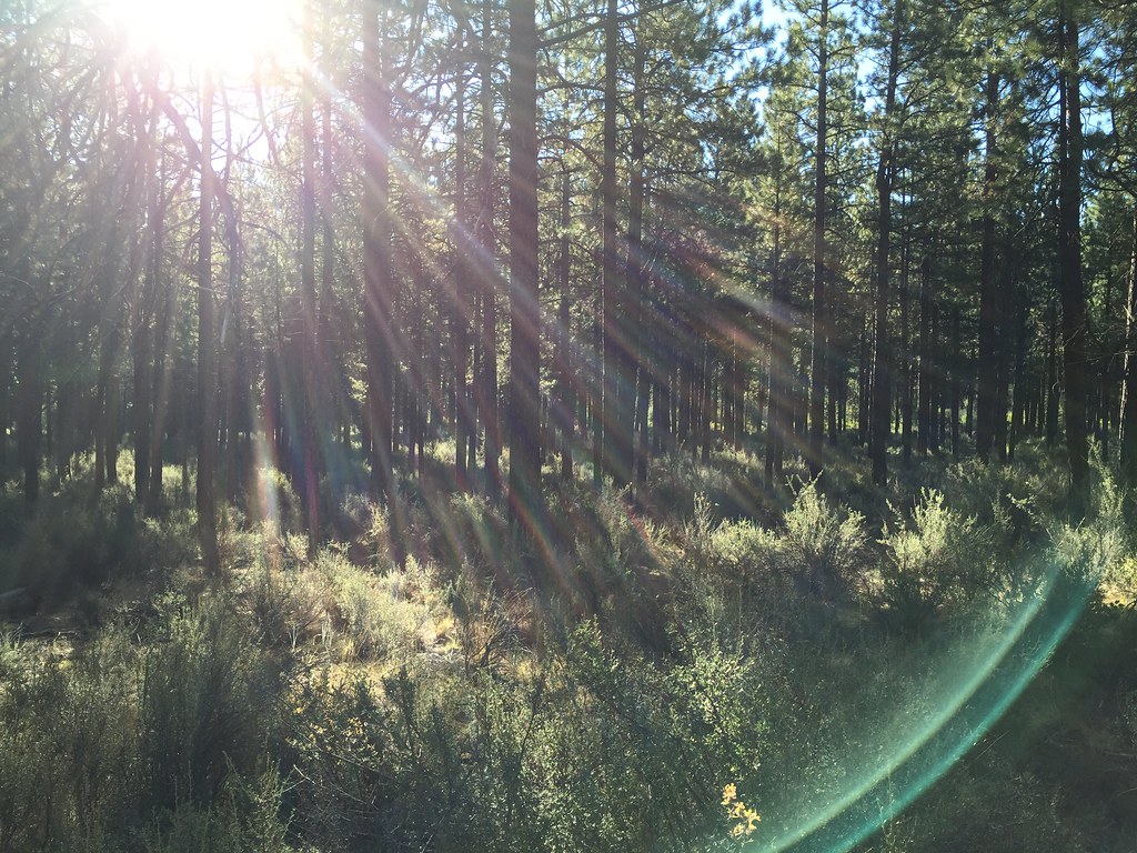 Shevlin Loop TrailHiking · ~1 min drivePhoto: igb, CC BY 2.0 (via Flickr)MrazekHiking · ~3 min drivePhoto: ex_magician, CC BY 2.0 (via Flickr)Tree Farm TrailHiking · ~1 min drivePhoto: ex_magician, CC BY 2.0 (via Flickr)Tumalo Creek TrailHiking · ~2 min drivePhoto: igb, CC BY 2.0 (via Flickr)Outback TrailHiking · ~2 min drivePhoto: ex_magician, CC BY 2.0 (via Flickr)
 Waterline TrailHiking · ~2 min drivePhoto: igb, CC BY 2.0 (via Flickr)
Best months: April–October. Best months have typical highs of 55–85 °F, lows of 30 °F or warmer (32 °F where the station doesn't record snow), at most one snowy day and no more than 12 wet days.
Jan
43° / 25°
9 wet · 4 snow
Feb
46° / 24°
7 wet · 3 snow
Mar
52° / 28°
6 wet · 1 snow
Apr
58° / 31°
6 wet · 1 snow
May
66° / 37°
5 wet
Jun
74° / 42°
4 wet
Jul
84° / 49°
2 wet
Aug
83° / 48°
2 wet
Sep
76° / 41°
2 wet
Oct
63° / 34°
4 wet
Nov
49° / 28°
7 wet · 2 snow
Dec
41° / 23°
8 wet · 4 snow
Typical high / low (°F) and days with rain or snow, 1991–2020. Measured at Bend, OR, 4.9 mi away at 3,660 ft. Source: NOAA NCEI U.S. Climate Normals 1991–2020.
Map and trail data © OpenStreetMap contributors
