Scandia RV Park
Campground
Campground · 5.1 mi from the trail
Closure in the area
There's a closure order in Deschutes National Forest. It doesn't name Skyliners Road, so check the source for the area it covers (3 listed).
West Bend Area Trail Closures
Agency closure covering Deschutes National Forest · USFS · Deschutes National Forest
West Bend IRSC- Area, Road and Trail Closure
Agency closure covering Bend/Fort Rock Ranger District · Order 06-01-01-26-03 · USFS · Bend/Fort Rock Ranger District
Cabin Butte Area Closure
Agency closure covering Bend/Fort Rock Ranger District · Order 06-01-01-26-01 · USFS · Bend/Fort Rock Ranger District
Camping & Campfire Restrictions Forest Order
Agency alert covering Deschutes National Forest · Order 06-01-26-01 · USFS · Deschutes National Forest
Cave Resource Protection Forest Order
Agency alert covering Deschutes National Forest · Order 06-01-26-02 · USFS · Deschutes National Forest
As of · Source: USFS · Deschutes National Forest. Agencies don't list every closure — check before you go.
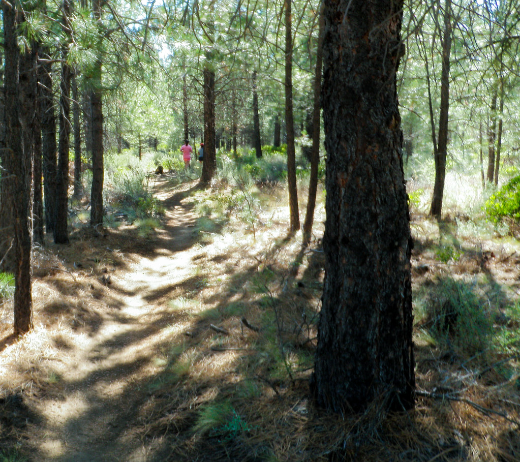
Skyliners Road is a bouldering area in the Bend/Fort Rock Ranger District of Deschutes National Forest in central Oregon, about 6 miles from the town of Bend. It sits among a cluster of climbing spots, with the 1) East Hillside Zone 1 and 2) Main Area (John's Slab/Tick boulder) climbing areas within half a mile. The area is a bouldering destination, with four routes all rated on the V scale. The easiest is Toasted at V0, and the hardest is Bombay at V7. The routes are all boulders, so there is no rope climbing here. Summer is the most comfortable time to visit. Typical averages from a nearby weather station in Bend show July highs around 84°F with lows near 49°F and only about two wet days in the month. Winter brings highs in the low 40s and a few snow days each month from December through February. Other climbing is close by, including Tick Ranch and the 1) East Hillside Zone 1. For a walk, the Western Larch Trail and Phil's Shevlin Park are both within half a mile.
Scandia RV Park
Campground
Rancher Butcher Chef
Restaurant
Art Gallery Dyrk Godby
Gallery
Places © OpenStreetMap contributors
More in SistersBest months: April–October. Best months have typical highs of 55–85 °F, lows of 30 °F or warmer (32 °F where the station doesn't record snow), at most one snowy day and no more than 12 wet days.
Jan
43° / 25°
9 wet · 4 snow
Feb
46° / 24°
7 wet · 3 snow
Mar
52° / 28°
6 wet · 1 snow
Apr
58° / 31°
6 wet · 1 snow
May
66° / 37°
5 wet
Jun
74° / 42°
4 wet
Jul
84° / 49°
2 wet
Aug
83° / 48°
2 wet
Sep
76° / 41°
2 wet
Oct
63° / 34°
4 wet
Nov
49° / 28°
7 wet · 2 snow
Dec
41° / 23°
8 wet · 4 snow
Typical high / low (°F) and days with rain or snow, 1991–2020. Measured at Bend, OR, 6.3 mi away at 3,660 ft. Source: NOAA NCEI U.S. Climate Normals 1991–2020.
 Photo: OSU Special Collections & Archives : Commons, No restrictions (via Wikimedia Commons)
East
~30 min drive
Oregon climbing area with varied routes and accessible climbing.
Photo: OSU Special Collections & Archives : Commons, No restrictions (via Wikimedia Commons)Warmup-Hangout Zone
~30 min drive
Warmup-Hangout Zone is a bouldering area in Oregon with 15 routes.
Photo: OSU Special Collections & Archives : Commons, No restrictions (via Wikimedia Commons)Downstream Boulders
~30 min drive
5 bouldering routes at Downstream Boulders in Oregon.
 Photo: Bureau of Land Management Oregon and Washington from Portland, America, Public domain (via Wikimedia Commons)
Castle
~33 min drive
Castle in Oregon has 13 climbing routes across 8 grades, offering bouldering and trad.
 Photo: Bill Reynolds from Lake Oswego, Oregon, CC BY 2.0 (via Wikimedia Commons)
(5) Southern Tip
~43 min drive
Southern Tip in Oregon has 13 climbing routes across 11 grades.
 Photo: Bill Reynolds from Lake Oswego, Oregon, CC BY 2.0 (via Wikimedia Commons)
(7) Flounder and Cod Rock
~43 min drive
Flounder and Cod Rock in Oregon has 8 routes with 6 difficulty grades, offering sport, top-rope, and trad climbing.
 Photo: Theoweesnerpdx, CC BY-SA 4.0 (via Wikimedia Commons)
(m) Smith Rock Group
~43 min drive
Smith Rock Group in Oregon has 4 climbing routes across 3 grades.
 Photo: bill mulder from santa margarita, usa, CC BY 2.0 (via Wikimedia Commons)
(6) Northwest Face
~43 min drive
(6) Northwest Face is a climbing crag in Oregon with 23 routes.
Photo: bill mulder from santa margarita, usa, CC BY 2.0 (via Wikimedia Commons)(2) Llama Wall
~43 min drive
Llama Wall in Oregon has 21 climbing routes with sport and trad options.
 Photo: U.S. Forest Service- Pacific Northwest Region, Public domain (via Wikimedia Commons)
(1) Northeast Face
~43 min drive
Northeast Face in Oregon has 23 climbing routes spanning 16 grades.