PCT: Rrs South
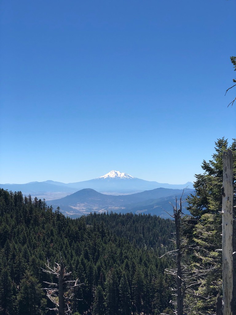
 Photo: james shaw, CC BY-SA 3.0 (via Wikimedia Commons)
- 1.1 mi
- distance
- 293 ft
- climb
- May–Oct
- best months
Is PCT: Rrs South open right now?
Closure in the area
There's a closure order in Siskiyou Mountains Ranger District. It doesn't name PCT: Rrs South, so check the source for the area it covers.
Ashland Municipal Watershed Camping and Fire Prohibition
Agency closure covering Siskiyou Mountains Ranger District · Order 06-10-20-23-52 · USFS · Siskiyou Mountains Ranger District
As of · Source: USFS · Siskiyou Mountains Ranger District. Agencies don't list every closure — check before you go.
PCT: Rrs South is a 1.13-mile trail at Ogden Hill in Oregon with 347 feet of elevation gain. The trail is managed by the Forest Service as part of the Ogden Hill trail system.
Local outfitters
- Ashland Mountain Adventures9 mi away
Not on Roamze yet. Their page has how to reach them.
 Bull GapMountain biking · ~4 min drivePhoto: james shaw, CC BY-SA 3.0 (via Wikimedia Commons)
- Corp CampMountain biking · ~5 min drivePhoto: james shaw, CC BY-SA 3.0 (via Wikimedia Commons)
- Upper Missing LinkMountain biking · ~6 min drivePhoto: james shaw, CC BY-SA 3.0 (via Wikimedia Commons)
 Tunnel Ridge TrailMountain biking · ~21 min drivePhoto: BLM Oregon & Washington, Public domain (via Wikimedia Commons)
- Wolf Gap TrailMountain biking · ~24 min drivePhoto: BLM Oregon & Washington, Public domain (via Wikimedia Commons)
- Sterling Mine TrailMountain biking · ~24 min drivePhoto: BLM Oregon & Washington, Public domain (via Wikimedia Commons)
 OspreyMountain biking · ~37 min drivePhoto: n.p.young, CC BY 3.0 (via Wikimedia Commons)
- CalshMountain biking · ~37 min drivePhoto: n.p.young, CC BY 3.0 (via Wikimedia Commons)
 Prospectors LoopMountain biking · ~37 min drivePhoto: n.p.young, CC BY 3.0 (via Wikimedia Commons)
- View PointMountain biking · ~38 min drivePhoto: n.p.young, CC BY 3.0 (via Wikimedia Commons)
Best time to visit PCT: Rrs South
Best months: May–October. Best months have typical highs of 55–85 °F, lows of 30 °F or warmer (32 °F where the station doesn't record snow), at most one snowy day and no more than 12 wet days.
Jan
36° / 23°
15 wet · 9 snow
Feb
40° / 23°
14 wet · 8 snow
Mar
45° / 26°
16 wet · 8 snow
Apr
50° / 29°
13 wet · 4 snow
May
60° / 36°
11 wet · 1 snow
Jun
68° / 40°
5 wet
Jul
79° / 47°
3 wet
Aug
79° / 46°
2 wet
Sep
72° / 40°
4 wet
Oct
58° / 33°
8 wet · 1 snow
Nov
42° / 28°
13 wet · 5 snow
Dec
35° / 23°
15 wet · 9 snow
Typical high / low (°F) and days with rain or snow, 1991–2020. Measured at Howard Prairie Dam, OR, 19 mi away at 4,567 ft. The station sits about 1,600 ft lower than this place, so expect it a little cooler here. Source: NOAA NCEI U.S. Climate Normals 1991–2020.
Closures we've recorded since August 2026
Stage 2 Public Use Fire Restrictions (Forest-wide)
Rogue River-Siskiyou National Forests · Order dated September 4, 2026; seen Sep 3, 2026 → lifted Oct 28, 2026 · Forest Service
Stage 3 Public Use Fire Restrictions (Forest-wide)
Rogue River-Siskiyou National Forests · Order dated July 17, 2026; seen Aug 23, 2026 → lifted Sep 3, 2026 · Forest Service
Map and trail data © OpenStreetMap contributors
