Pack Trail
- 0.6 mi
- round trip
- 210 ft
- climb
- 307 ft
- high point
- Out and back
- route
- Jun–Sep
- best months
Pack Trail is an easy out-and-back hike in Oregon, about 1.4 miles from the town of Empire. The route is 1.1 miles long and rises about 210 feet from a low point of 158 feet to a high point of 307 feet. The climb is front-loaded, with the steepest stretch coming at about 0.05 miles, where the grade reaches 9 percent. Summer is the most comfortable time to go. Typical averages from a nearby weather station in North Bend run to highs around 66 to 67°F in July and August, with only about four wet days a month, while winter brings highs in the low 50s and around 20 wet days a month. Nearby, Mingus Park footpath and the North Spit Trail are both about 2 miles away. Horsfall Campground and Horsfall Sand Camps sit roughly 5 miles off.
Local outfitters
- Bay Point Landing2 mi away
- Remote Outpost RV Park33 mi away
Not on Roamze yet. Their page has how to reach them.
Conditions and forecast on Radar Hill
Daily highs and lows, wind and the chance of precipitation at the summit and route start for the next 7 days, from the Open-Meteo model.
- Free campingCamping2.1 mi
- Mingus Park footpathHiking2.1 mi
- North Spit TrailHiking2.3 mi
- Horsfall CampgroundCamping4.7 mi
- Horsfall Sand CampsCamping4.8 mi
- Wild Mare Horse TrailHiking5 mi
- Kentuck SloughCanoeing6 mi
- Daniels CreekCanoeing9.1 mi
Source: Roamze catalog (indexable pages within 10 miles, PostGIS distance)
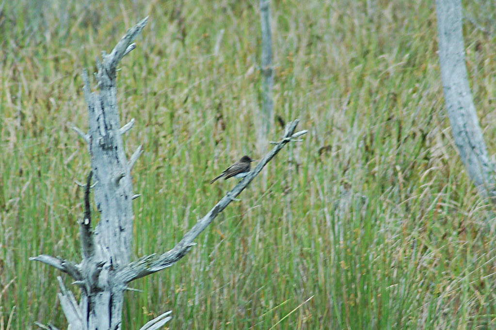 WILDMARE HORSE TRAILHiking · ~9 min drivePhoto: Don Henise, CC BY 2.0 (via Flickr)
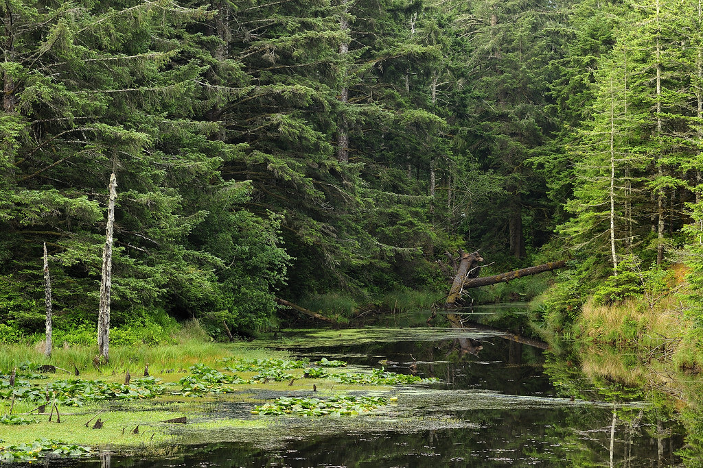 New River TrailsHiking · ~44 min drivePhoto: BLM Oregon & Washington, CC BY 2.0 (via Flickr)
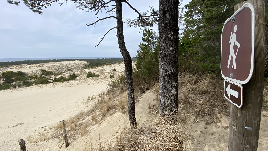 Three Mile Lake NorthHiking · ~51 min drivePhoto: lamblukas, CC BY 2.0 (via Flickr)
- BluebillHiking · ~9 min drivePhoto: Don Henise, CC BY 2.0 (via Flickr)
- North Spit TrailHiking · ~4 min drive
 Siltcoos Lake TrailHiking · ~60 min drivePhoto: REM ~ Photo Off - On, CC BY 2.0 (via Flickr)
 Coquille River WalkHiking · ~25 min drivePhoto: Don Henise, CC BY 2.0 (via Flickr)
- Blue Ridge TrailHiking · ~19 min drive
- Loon Lake Waterfall TrailHiking · ~44 min drive
 John Dellenback DuneHiking · ~26 min drivePhoto: Šarūnas Burdulis from USA, CC BY-SA 2.0 (via Wikimedia Commons)
Best time to visit Pack Trail
Best months: June–September. Best months have typical highs of 55–85 °F, lows of 30 °F or warmer (32 °F where the station doesn't record snow), at most one snowy day and no more than 12 wet days.
Jan
53° / 41°
19 wet
Feb
54° / 41°
17 wet
Mar
55° / 42°
19 wet
Apr
57° / 44°
17 wet
May
61° / 48°
13 wet
Jun
63° / 51°
9 wet
Jul
66° / 54°
4 wet
Aug
67° / 54°
4 wet
Sep
67° / 51°
7 wet
Oct
63° / 47°
13 wet
Nov
57° / 43°
18 wet
Dec
53° / 40°
20 wet
Typical high / low (°F) and days with rain or snow, 1991–2020. Measured at North Bend Rgnl Ap, OR, 2.8 mi away at 17 ft. Source: NOAA NCEI U.S. Climate Normals 1991–2020.
Route details
- Distance
- 0.6 mi round trip
- Climbing
- About 210 ft
- Summit
- 289 ft
- Difficulty
- Easy
- Time
- About 0.5 hours
Questions about this route
How long is the Pack Trail on Radar Hill?
About 0.6 mi round trip.
How much elevation gain is on the Pack Trail?
About 210 ft of climbing round trip.
How hard is the Pack Trail?
It is rated easy.
How long does the Pack Trail take?
About 0.5 hours round trip.
Map and trail data © OpenStreetMap contributors
