Loon Lake Waterfall Trail
- 0.4 mi
- round trip
- 1,304 ft
- climb
- 1,146 ft
- high point
- Out and back
- route
- May–Jun, Sep–Oct
- best months
Loon Lake Waterfall Trail is a 0.4-mile hike on state land in Oregon, managed by the State Land Board. It's a short, back-loaded out-and-back route that starts at about 1,146 feet and climbs to a high point of 1,146 feet, with the steepest stretch at the beginning. The total climb is 1,304 feet, and the trail is rated moderate. Summer is the most comfortable time to go. Typical averages from a nearby weather station show July and August highs around 86°F with only about two wet days a month, while winter brings highs near 50°F and rain on most days. That station sits well below the trail, so temperatures on the higher ground run cooler. Loon Lake Recreation Site and East Shore Campground OR are both within a mile, making it easy to pair the hike with an overnight stay. Paddlers can find Camp Creek about 5 miles away and the West Fork Millicoma River about 7 miles away.
Local outfitters
- The Big K Guest Ranch15 mi away
- Bay Point Landing27 mi away
Not on Roamze yet. Their page has how to reach them.
- Loon Lake Recreation SiteCamping0.7 mi
- East Shore Campground ORCamping0.8 mi
- Camp CreekCanoeing5.1 mi
 West Fork Millicoma RiverCanoeingPhoto: Finetooth, CC BY-SA 3.0 (via Wikimedia Commons)7.2 mi
- Glenn CreekCanoeing7.8 mi
- Lake CreekCanoeing8.2 mi
- Dean CreekCanoeing8.3 mi
- Harvey CreekCanoeing8.7 mi
Source: Roamze catalog (indexable pages within 10 miles, PostGIS distance)
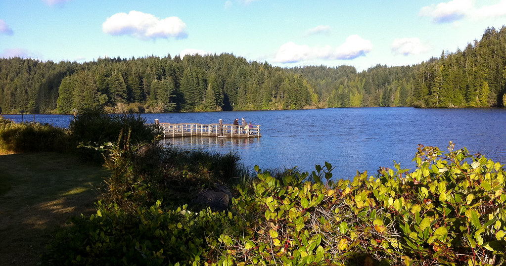 Schuttpelz East TrailHiking · ~29 min drivePhoto: shinyobject, CC BY 2.0 (via Flickr)
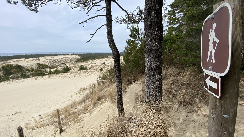 Three Mile Lake NorthHiking · ~35 min drivePhoto: lamblukas, CC BY 2.0 (via Flickr)
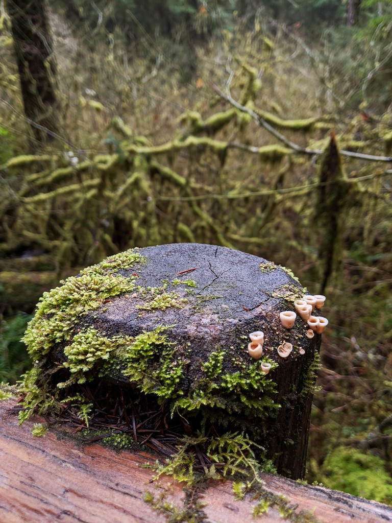 North Fork Smith River TrailHiking · ~40 min drivePhoto: Jonathan Lidbeck, CC BY 2.0 (via Flickr)
- Schuttpelz Lake TrailHiking · ~29 min drivePhoto: shinyobject, CC BY 2.0 (via Flickr)
- Kentucky FallsHiking · ~40 min drivePhoto: Jonathan Lidbeck, CC BY 2.0 (via Flickr)
- Trail CreekHiking · ~40 min drive
 John Dellenback Dunes TrailHiking · ~32 min drivePhoto: John Fowler from Placitas, NM, USA, CC BY 2.0 (via Wikimedia Commons)
 Siltcoos Lake TrailHiking · ~41 min drivePhoto: REM ~ Photo Off - On, CC BY 2.0 (via Flickr)
- Blue Ridge TrailHiking · ~42 min drive
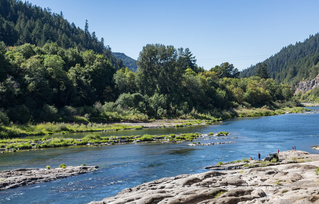 Tyee TrailHiking · ~34 min drivePhoto: Tony Webster, CC BY 2.0 (via Flickr)
Best time to visit Loon Lake Waterfall Trail
Best months: May–June and September–October. Best months have typical highs of 55–85 °F, lows of 30 °F or warmer (32 °F where the station doesn't record snow), at most one snowy day and no more than 12 wet days.
Jan
50° / 37°
21 wet
Feb
55° / 38°
18 wet
Mar
60° / 39°
19 wet
Apr
65° / 41°
15 wet
May
72° / 46°
11 wet
Jun
77° / 49°
6 wet
Jul
86° / 53°
2 wet
Aug
86° / 52°
2 wet
Sep
81° / 49°
5 wet
Oct
69° / 43°
11 wet
Nov
55° / 41°
19 wet
Dec
49° / 37°
22 wet
Typical high / low (°F) and days with rain or snow, 1991–2020. Measured at Elkton 3 Sw, OR, 12.7 mi away at 120 ft. The station sits about 1,000 ft lower than this place, so expect it a little cooler here. Source: NOAA NCEI U.S. Climate Normals 1991–2020.
Map and trail data © OpenStreetMap contributors
