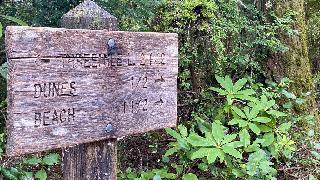
Three Mile Lake North
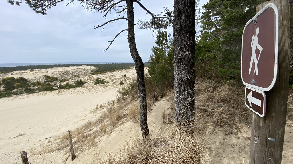 Photo: lamblukas, CC BY 2.0 (via Flickr)
- 6.0 mi
- round trip
- 1,467 ft
- climb
- 440 ft
- high point
- Out and back
- route
- Feb–Nov
- best months
Caution today
Agency alerts are in effect for this area; weather is marginal · USFS, OpenWeather · checked 8 h ago
Is Three Mile Lake North open right now?
Closure in the area
There's a closure order in Siuslaw National Forest. It doesn't name Three Mile Lake North, so check the source for the area it covers.
Homestead Trailhead Closure
Agency closure covering Siuslaw National Forest · Order 06-12-10-26-11 · USFS · Siuslaw National Forest
Sutton Lake Boat Ramp Closure
Agency alert covering Siuslaw National Forest · Order 06-12-10-26-07 · USFS · Siuslaw National Forest
As of · Source: USFS · Siuslaw National Forest. Agencies don't list every closure — check before you go.
Three Mile Lake North is a moderate out-and-back hike in the Central Coast Ranger District-ODNRA of Oregon's Siuslaw National Forest, about 6 miles long with a total elevation gain of 1,467 feet. The trail starts at an elevation of about 145 feet and peaks at about 440 feet, and the steepest stretch comes around mile 1.7, where the grade reaches about 18 percent. The trail is open year-round and takes about 2.5 hours to complete. It is a natural-surface route, and bikes are allowed. It is not an accessible trail. Summer and early fall are the mildest times to go. Typical averages from a nearby weather station show July and August highs around 70°F with lows near 52°F, while winter highs sit in the low 50s. Tahkenitch Campground sits just 0.1 mile away, and Tahkenitch Landing Campground and Boating Site is about 0.4 mile off. The Tahkenitch Creek Trail #1336 is roughly 0.9 mile away, and Carter Lake Campground lies about 4.5 miles from the trail.
Local outfitters
- Bay Point Landing30 mi away
- The Big K Guest Ranch31 mi away
Not on Roamze yet. Their page has how to reach them.
Best time to go · Feb–Nov
Best time to visit Three Mile Lake North
Best months: February–November. Best months have typical highs of 55–85 °F, lows of 30 °F or warmer (32 °F where the station doesn't record snow), at most one snowy day and no more than 12 wet days.
Jan
54° / 39°
Feb
55° / 39°
Mar
56° / 39°
Apr
59° / 42°
May
62° / 46°
Jun
66° / 49°
Jul
70° / 52°
Aug
70° / 52°
Sep
71° / 50°
Oct
65° / 46°
Nov
58° / 42°
Dec
53° / 39°
Typical high / low (°F) and days with rain or snow, 1991–2020. Measured at Winchester Bay Coast Grd, OR, 8 mi away at 8 ft. This station doesn't record snowfall. Source: NOAA NCEI U.S. Climate Normals 1991–2020.
Keep exploring — more trails worth the drive
Photo: lamblukas, CC BY 2.0 (via Flickr)Tahkenitch Creek Trail #1336
~1 min drive
4.32-mile out-and-back trail with 317 ft gain in Oregon
 Photo: REM ~ Photo Off - On, CC BY 2.0 (via Flickr)
Siltcoos Lake Trail
~9 min drive
5.89-mile out-and-back hike to Siltcoos Lake in Oregon with 717 ft gain.
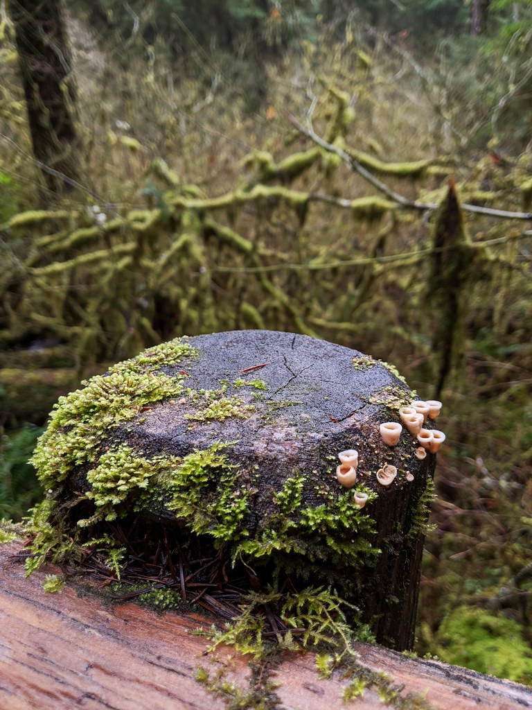 Photo: Jonathan Lidbeck, CC BY 2.0 (via Flickr)
North Fork Smith River Trail
~33 min drive
13.08-mile out-and-back hike along North Fork Smith River in Oregon.
Photo: lamblukas, CC BY 2.0 (via Flickr)Tahkenitch Creek
~2 min drive
Easy out-and-back creek walk through coastal Oregon forest.
 Photo: Kris Arnold from New York, USA, CC BY-SA 2.0 (via Wikimedia Commons)
Sutton Creek North
~31 min drive
3.02-mile out-and-back trail in Oregon with 199 ft gain.
 Photo: ilya_ktsn, CC BY 2.0 (via Flickr)
TAHKENITCH CREEK
~2 min drive
4.48-mile out-and-back trail at Tahkenitch Creek in Oregon.
Photo: Jonathan Lidbeck, CC BY 2.0 (via Flickr)Kentucky Falls
~34 min drive
4.10-mile out-and-back trail in Oregon with 595 ft elevation gain.
Photo: REM ~ Photo Off - On, CC BY 2.0 (via Flickr)Taylor Dunes Trail
~8 min drive
1.76-mile out-and-back trail in Oregon with 355 ft elevation gain/loss.
HIKE
Sweet Creek
~29 min drive
5.14-mile out-and-back trail in Oregon with 1,297 ft gain
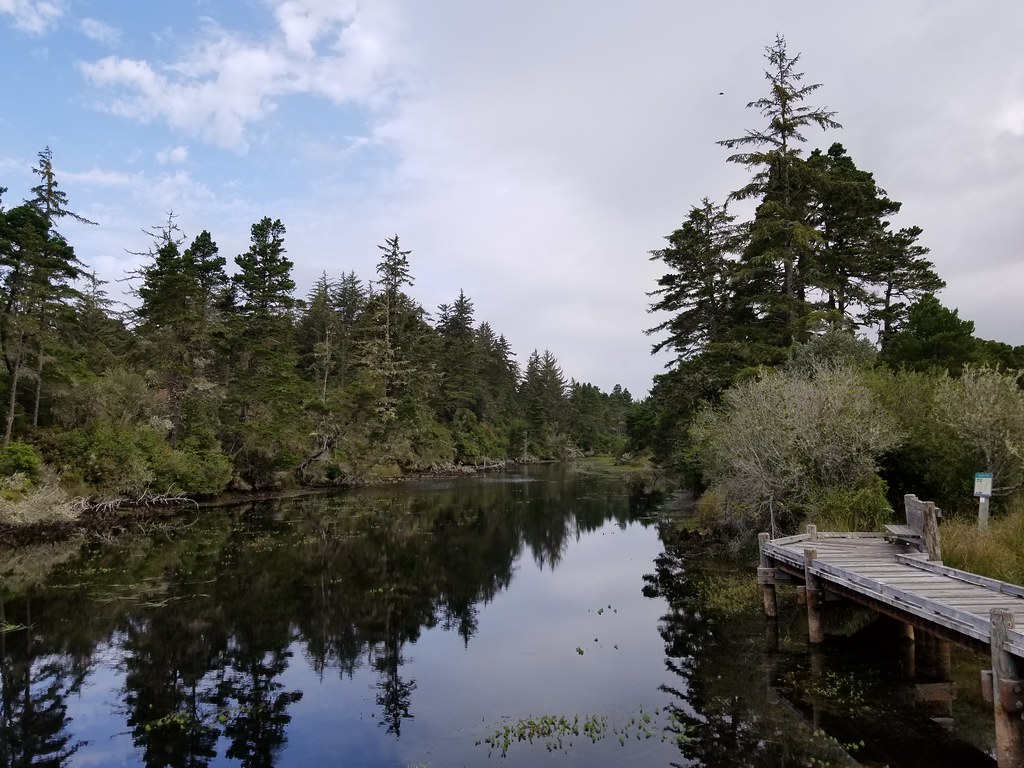 Photo: douaireg, CC BY-SA 2.0 (via Flickr)
Waxmyrtle
~10 min drive
1.13-mile out-and-back trail in Oregon with 173 ft elevation gain.