Mingus Park footpath
- 0.4 mi
- round trip
- 284 ft
- climb
- 139 ft
- high point
- Out and back
- route
- Jun–Sep
- best months
Mingus Park footpath is an easy out-and-back hike in Oregon, set within Mingus Park on city land. The route is short and low, with a total length of about 0.8 miles and a climb of roughly 284 feet for the full round trip. The steepest part comes at the start, where the grade reaches about 14%, before the trail eases into a gentler walk. Summer is the most comfortable time to go. Typical averages from the nearby North Bend airport weather station show July and August highs around 66 to 67°F, with only about four wet days in each of those months. Winter runs cooler and wetter, with highs in the low 50s and rain on most days from November through March. The trip takes about half an hour, so it works well as a quick outing or a leg up before exploring the park further. Pack Trail lies about 1.5 miles away, and Horsfall Campground is about 5 miles off for an overnight stay. North Spit Trail and Kentuck Slough are a little farther, at roughly 4.4 and 4.8 miles.
Local outfitters
- Bay Point Landing4 mi away
- Remote Outpost RV Park31 mi away
Not on Roamze yet. Their page has how to reach them.
- Pack TrailHiking1.5 mi
- Free campingCamping3.9 mi
- North Spit TrailHiking4.4 mi
- Kentuck SloughCanoeing4.8 mi
- Horsfall CampgroundCamping5.1 mi
- Horsfall Sand CampsCamping5.2 mi
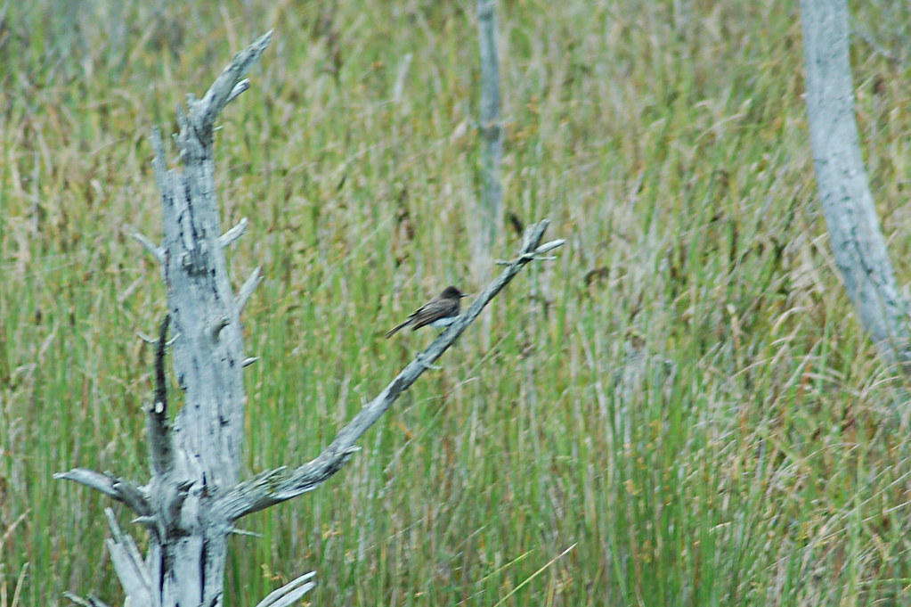 BluebillHikingPhoto: Don Henise, CC BY 2.0 (via Flickr)6 mi
- Daniels CreekCanoeing7 mi
Source: Roamze catalog (indexable pages within 10 miles, PostGIS distance)
- BluebillHiking · ~10 min drivePhoto: Don Henise, CC BY 2.0 (via Flickr)
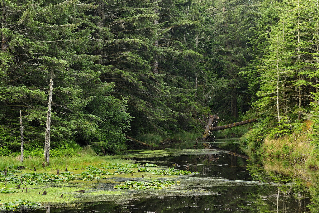 New River TrailsHiking · ~45 min drivePhoto: BLM Oregon & Washington, CC BY 2.0 (via Flickr)
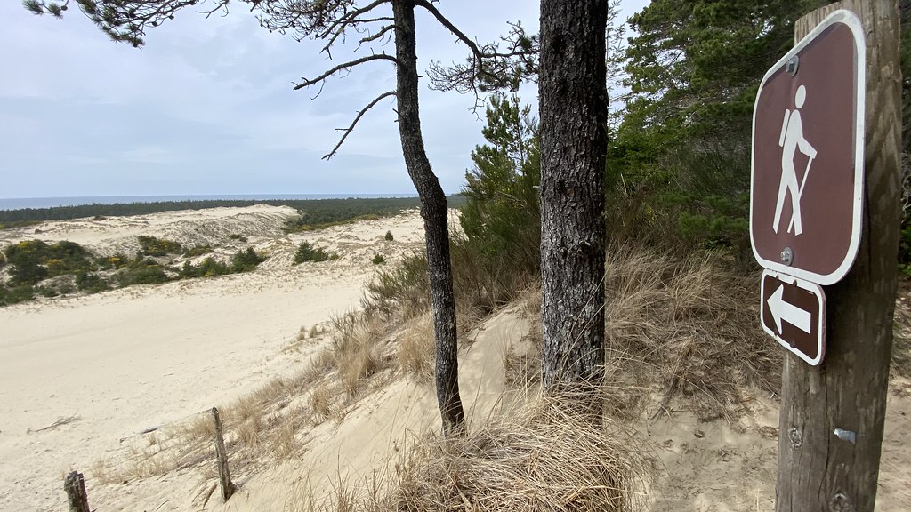 Three Mile Lake NorthHiking · ~51 min drivePhoto: lamblukas, CC BY 2.0 (via Flickr)
- WILDMARE HORSE TRAILHiking · ~10 min drivePhoto: Don Henise, CC BY 2.0 (via Flickr)
- North Spit TrailHiking · ~8 min drive
 Siltcoos Lake TrailHiking · ~60 min drivePhoto: REM ~ Photo Off - On, CC BY 2.0 (via Flickr)
 Coquille River WalkHiking · ~23 min drivePhoto: Don Henise, CC BY 2.0 (via Flickr)
- Blue Ridge TrailHiking · ~15 min drive
- Loon Lake Waterfall TrailHiking · ~41 min drive
 John Dellenback DuneHiking · ~26 min drivePhoto: Šarūnas Burdulis from USA, CC BY-SA 2.0 (via Wikimedia Commons)
Best time to visit Mingus Park footpath
Best months: June–September. Best months have typical highs of 55–85 °F, lows of 30 °F or warmer (32 °F where the station doesn't record snow), at most one snowy day and no more than 12 wet days.
Jan
53° / 41°
19 wet
Feb
54° / 41°
17 wet
Mar
55° / 42°
19 wet
Apr
57° / 44°
17 wet
May
61° / 48°
13 wet
Jun
63° / 51°
9 wet
Jul
66° / 54°
4 wet
Aug
67° / 54°
4 wet
Sep
67° / 51°
7 wet
Oct
63° / 47°
13 wet
Nov
57° / 43°
18 wet
Dec
53° / 40°
20 wet
Typical high / low (°F) and days with rain or snow, 1991–2020. Measured at North Bend Rgnl Ap, OR, 3.2 mi away at 17 ft. Source: NOAA NCEI U.S. Climate Normals 1991–2020.
Map and trail data © OpenStreetMap contributors
