John Dellenback Dune
 Photo: Šarūnas Burdulis from USA, CC BY-SA 2.0 (via Wikimedia Commons)
- 2.2 mi
- round trip
- 218 ft
- climb
- 130 ft
- high point
- Out and back
- route
- Feb–Nov
- best months
Clear at last check
Weather is good · OpenWeather · checked 22 h ago
John Dellenback Dune is a short, easy out-and-back hike in the Siuslaw National Forest in Oregon, managed by the Forest Service. The trail is 2.2 miles long, with a total elevation gain of 218 feet, and it starts at the John Dellenback Dunes Trailhead, which is open year-round. The route is a gentle gravel path that rises from about 56 feet to a high point of 130 feet before returning. The steepest stretch comes at about 0.4 miles in, with a grade of about 3 percent. Bikes are allowed on the trail, but it is not accessible. Summer and early fall are the mildest times to go. Typical averages from a nearby weather station at Winchester Bay show highs around 70°F in July and August and about 71°F in September, with lows near 50°F. Eel Creek Campground sits just 0.4 miles away, and Hall Lake Loop and Spinreel Campground are both about 1.4 miles off. Paddlers can reach Eel Creek, roughly 1.6 miles from the trailhead.
Local outfitters
- Bay Point Landing16 mi away
- The Big K Guest Ranch31 mi away
Not on Roamze yet. Their page has how to reach them.
Best time to go · Feb–Nov
Best time to visit John Dellenback Dune
Best months: February–November. Best months have typical highs of 55–85 °F, lows of 30 °F or warmer (32 °F where the station doesn't record snow), at most one snowy day and no more than 12 wet days.
Jan
54° / 39°
Feb
55° / 39°
Mar
56° / 39°
Apr
59° / 42°
May
62° / 46°
Jun
66° / 49°
Jul
70° / 52°
Aug
70° / 52°
Sep
71° / 50°
Oct
65° / 46°
Nov
58° / 42°
Dec
53° / 39°
Typical high / low (°F) and days with rain or snow, 1991–2020. Measured at Winchester Bay Coast Grd, OR, 6.7 mi away at 8 ft. This station doesn't record snowfall. Source: NOAA NCEI U.S. Climate Normals 1991–2020.
Keep exploring — more trails worth the drive
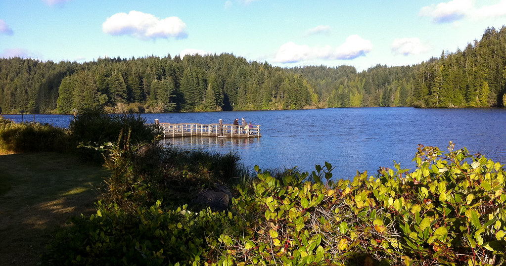 Photo: shinyobject, CC BY 2.0 (via Flickr)
Hall Lake Loop
~2 min drive
0.73-mile loop trail in Oregon with 333 ft gain and 370 ft loss.
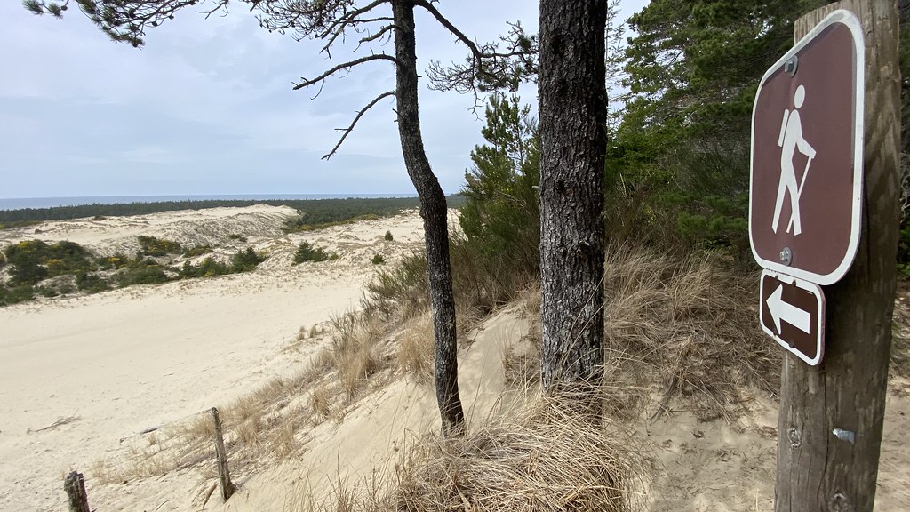 Photo: lamblukas, CC BY 2.0 (via Flickr)
Three Mile Lake North
~25 min drive
5.96-mile out-and-back trail with 770 ft gain in Oregon.
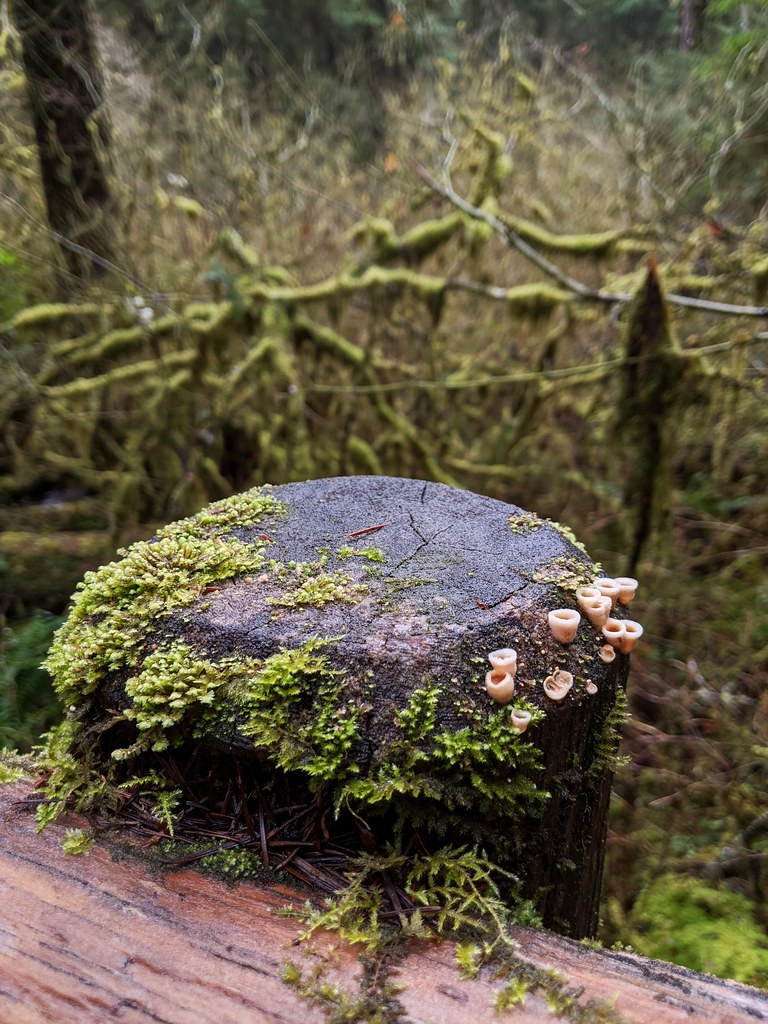 Photo: Jonathan Lidbeck, CC BY 2.0 (via Flickr)
North Fork Smith River Trail
~52 min drive
13.08-mile out-and-back hike along North Fork Smith River in Oregon.
Photo: shinyobject, CC BY 2.0 (via Flickr)Schuttpelz East Trail
~3 min drive
0.62-mile out-and-back trail in Oregon with 239 ft elevation gain.
 Photo: REM ~ Photo Off - On, CC BY 2.0 (via Flickr)
Siltcoos Lake Trail
~34 min drive
5.89-mile out-and-back hike to Siltcoos Lake in Oregon with 717 ft gain.
HIKE
North Spit Trail
~25 min drive
Coastal out-and-back exploring Oregon's North Spit with ocean views.
Photo: shinyobject, CC BY 2.0 (via Flickr)Schuttpelz Lake Trail
~3 min drive
0.62-mile out-and-back trail to Schuttpelz Lake in Oregon.
Photo: Jonathan Lidbeck, CC BY 2.0 (via Flickr)Kentucky Falls
~53 min drive
4.10-mile out-and-back trail in Oregon with 595 ft elevation gain.
HIKE
Blue Ridge Trail
~37 min drive
Out-and-back ridge trail with scenic views in Oregon's high country.
 Photo: John Fowler from Placitas, NM, USA, CC BY 2.0 (via Wikimedia Commons)
John Dellenback Dunes Trail
~4 min drive
Point-to-point desert dune hike through Oregon's scenic sand dunes.

