Olallie Butte Trail
- 3.5 mi
- round trip
- 3,482 ft
- climb
- 7,175 ft
- high point
- Out and back
- route
Is Olallie Butte Trail open right now?
Closure in the area
There's a closure order in Clackamas River Ranger District. It doesn't name Olallie Butte Trail, so check the source for the area it covers (2 listed).
Austin Fire Closure
Agency closure covering Clackamas River Ranger District · Order 06-06-05-26-20 · USFS · Clackamas River Ranger District
Clackamas River RD Fires
Agency closure covering Clackamas River Ranger District · Order 06-06-05-26-20 · USFS · Clackamas River Ranger District
Tamanawas Falls Trail closed due to instability hazards
Agency alert covering Mt. Hood National Forest · USFS · Mt. Hood National Forest
Emergency fire closure on FR 57
Agency alert covering Clackamas River Ranger District · USFS · Clackamas River Ranger District
Eagle Creek Fire Area Closures
Agency alert covering Mt. Hood National Forest · Order 06-22-01-26-04 · USFS · Mt. Hood National Forest
As of · Source: USFS · Clackamas River Ranger District. Agencies don't list every closure — check before you go.
Olallie Butte Trail is a hard hike in Oregon's Mt. Hood National Forest, within the Clackamas River Ranger District. The trail is an out-and-back route of about 7 miles, with a total elevation gain of 3,482 feet. The climb is front-loaded, and the steepest stretch comes at about 1.1 miles in, where the grade reaches 26 percent. The trail starts at 4,675 feet and reaches a high point of 7,175 feet. The Forest Service manages the land, and the trip is estimated to take about 4 hours. Plan for a long day with a significant climb, and note that the trail is rated hard. Several other destinations sit close by. Lodgepole is about 0.7 miles away, and Russ Lake is about 1.1 miles away. Olallie Meadow campground is about 1.3 miles away, and Fish Lake is about 1.9 miles away.
Local outfitters
- Big Lake Youth Camp40 mi away
- Expedition Old Growth40 mi away
Not on Roamze yet. Their page has how to reach them.
Conditions and forecast on Olallie Butte
Daily highs and lows, wind and the chance of precipitation at the summit and route start for the next 7 days, from the Open-Meteo model.
- LodgepoleHiking0.7 mi
- Russ LakeHiking1.1 mi
- Olallie MeadowCamping1.3 mi
- Lower Lake (olallie)Camping1.5 mi
- Fish LakeHiking1.9 mi
- Olallie Lake Guard Station CabinCamping2 mi
- Cub CreekCanoeing5.1 mi
 Clackamas RiverCanoeingPhoto: U.S. Forest Service- Pacific Northwest Region, Public domain (via Wikimedia Commons)5.4 mi
Source: Roamze catalog (indexable pages within 10 miles, PostGIS distance)
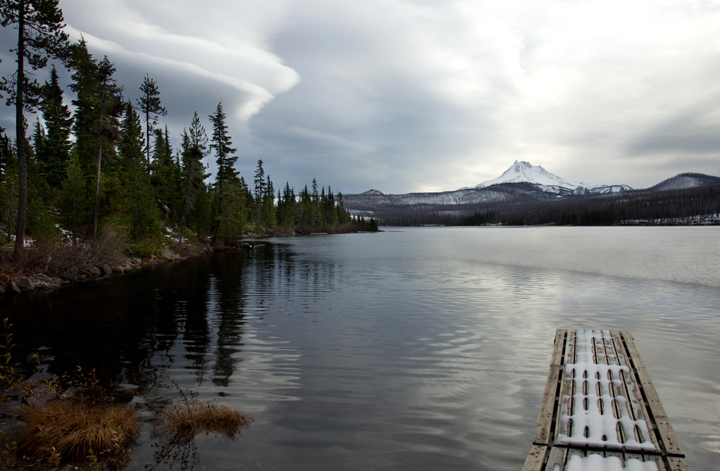 Olallie LakeHiking · ~4 min drivePhoto: Bonnie Moreland (free images), Public Domain Mark (via Flickr)
 Monon LakeHiking · ~6 min drivePhoto: BHunsaker, CC BY 3.0 (via Wikimedia Commons)
 Climber's TrailHiking · ~17 min drivePhoto: Nwcamera1, CC BY-SA 3.0 (via Wikimedia Commons)
- Elk Lake Creek Trail #559Hiking · ~20 min drive
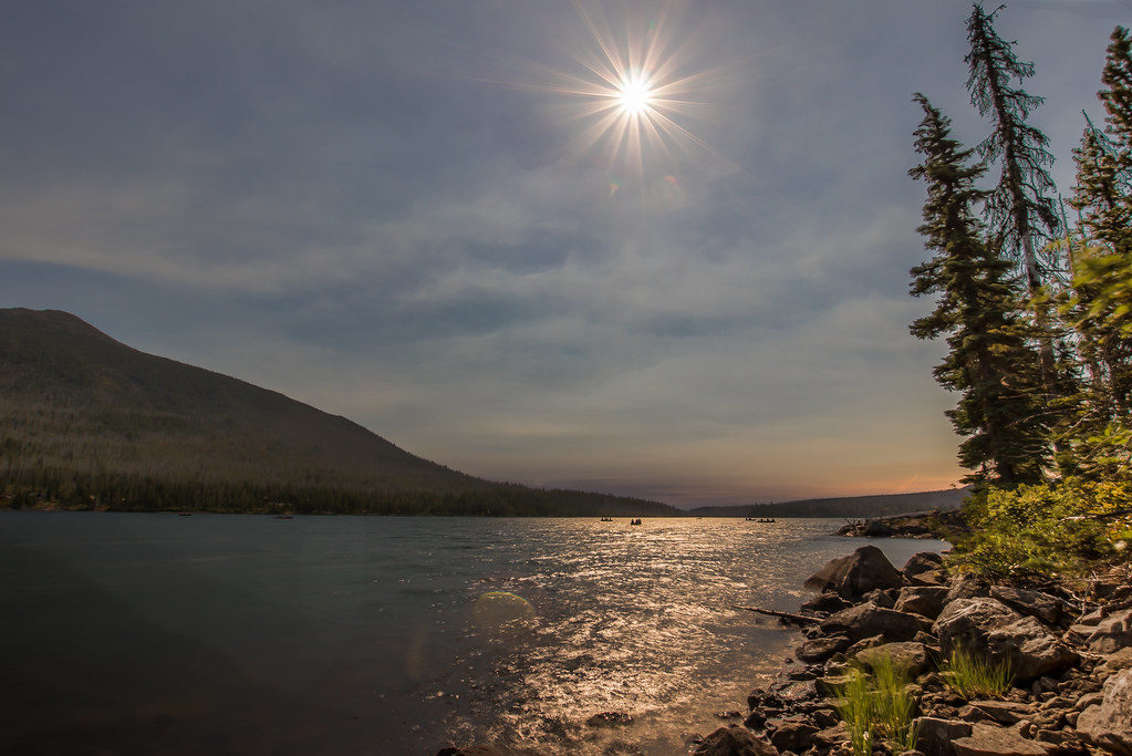 Red LakeHiking · ~4 min drivePhoto: Infinite Dust, CC BY-SA 2.0 (via Flickr)
 Pyramid ButteHiking · ~10 min drivePhoto: LukeDetwiler, CC BY 2.0 (via Flickr)
- Red Lake Trail #719Hiking · ~5 min drivePhoto: Infinite Dust, CC BY-SA 2.0 (via Flickr)
- Timber LakeHiking · ~5 min drivePhoto: Infinite Dust, CC BY-SA 2.0 (via Flickr)
 South Breitenbush GorgeHiking · ~17 min drivePhoto: oregondave, CC BY-SA 3.0 (via Wikimedia Commons)
- CragHiking · ~15 min drive
Also worth it near here
- Triangle LakeLake fishing · ~1 min drive
- Triangle Lake Equestrian CampCamping · ~1 min drive
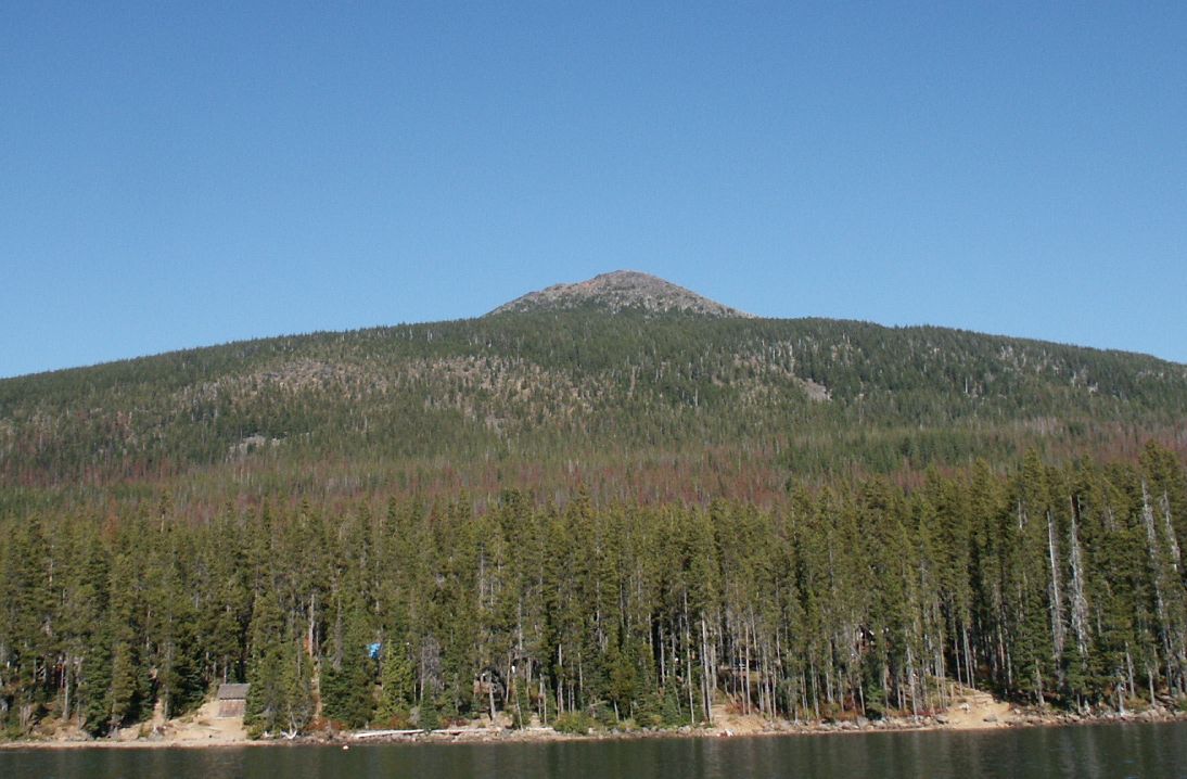 Olallie ButteSummit · ~3 min drivePhoto: M.O. Stevens at en.wikipedia, Public domain (via Wikimedia Commons)
- Clackamas RiverCanoeing · ~9 min drivePhoto: U.S. Forest Service- Pacific Northwest Region, Public domain (via Wikimedia Commons)
Route details
- Distance
- 3.5 mi round trip
- Climbing
- About 3,482 ft
- Summit
- 7,214 ft
- Difficulty
- Hard
- Time
- About 2.5 hours
Questions about this route
How long is the Olallie Butte Trail on Olallie Butte?
About 3.5 mi round trip.
How much elevation gain is on the Olallie Butte Trail?
About 3,482 ft of climbing round trip.
How hard is the Olallie Butte Trail?
It is rated hard.
How long does the Olallie Butte Trail take?
About 2.5 hours round trip.
Map and trail data © OpenStreetMap contributors
