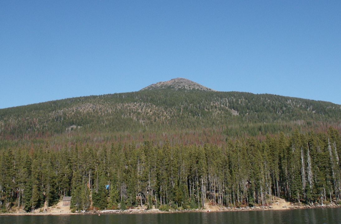
Red Lake
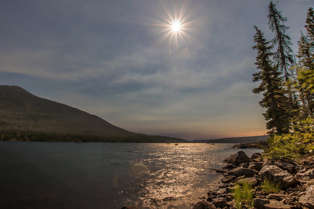 Photo: Infinite Dust, CC BY-SA 2.0 (via Flickr)
- 1.8 mi
- round trip
- 235 ft
- climb
- 5,193 ft
- high point
- Out and back
- route
- May–Oct
- best months
Is Red Lake open right now?
Closure in the area
There's a closure order in Clackamas River Ranger District. It doesn't name Red Lake, so check the source for the area it covers.
Clackamas River RD Fires
Agency closure covering Clackamas River Ranger District · Order 06-06-05-26-20 · USFS · Clackamas River Ranger District
Emergency fire closure on FR 57
Agency alert covering Clackamas River Ranger District · USFS · Clackamas River Ranger District
Eagle Creek Fire Area Closures
Agency alert covering Mt. Hood National Forest · Order 06-22-01-26-04 · USFS · Mt. Hood National Forest
Roadside Danger Trees Health and Safety Closure
Agency alert covering Clackamas River Ranger District · Order 06-06-05-26-02 · USFS · Clackamas River Ranger District
FR 4613 road damage- use caution
Agency alert covering Mt. Hood National Forest · USFS · Mt. Hood National Forest
As of · Source: USFS · Clackamas River Ranger District. Agencies don't list every closure — check before you go.
Red Lake is an easy, out-and-back hike of about 1.8 miles on natural trail in the Clackamas River Ranger District of Mt. Hood National Forest in Oregon. The trail begins at about 4,994 feet, rises to a high point of 5,193 feet and returns to the starting elevation, with a total gain of 235 feet over the course of the round trip. Summer is the most comfortable time to visit. Typical July and August highs reach about 76°F with lows near 42°F, according to averages from a nearby weather station at Santiam Junction. That station sits roughly 1,400 feet lower than the trail, so temperatures on the hike run cooler. The trip takes about half a day. The trail lies close to several other places in the Olallie Lake area. Olallie Lake is about 0.4 miles away, and Timber Lake is about 0.5 miles away. The Olallie Lake Guard Station Cabin and Camp Ten (olallie) are both within a mile.
Local outfitters
- Big Lake Youth Camp38 mi away
- Expedition Old Growth38 mi away
Not on Roamze yet. Their page has how to reach them.
Best time to go · May–Oct
Best time to visit Red Lake
Best months: May–October. Best months have typical highs of 55–85 °F, lows of 30 °F or warmer (32 °F where the station doesn't record snow), at most one snowy day and no more than 12 wet days.
Jan
38° / 24°
Feb
41° / 24°
Mar
44° / 26°
Apr
49° / 29°
May
58° / 35°
Jun
65° / 38°
Jul
76° / 42°
Aug
76° / 42°
Sep
69° / 39°
Oct
56° / 33°
Nov
42° / 28°
Dec
36° / 23°
Typical high / low (°F) and days with rain or snow, 1991–2020. Measured at Santiam Junction, OR, 26.9 mi away at 3,750 ft. The station sits about 1,400 ft lower than this place, so expect it a little cooler here. This station doesn't record snowfall. Source: NOAA NCEI U.S. Climate Normals 1991–2020.
Keep exploring — more trails worth the drive
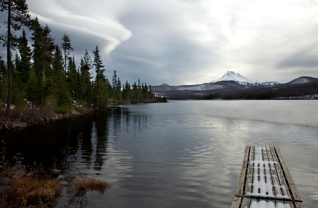 Photo: Bonnie Moreland (free images), Public Domain Mark (via Flickr)
Olallie Lake
Next door
0.70-mile out-and-back trail to Olallie Lake in Oregon.
Photo: Infinite Dust, CC BY-SA 2.0 (via Flickr)Red Lake Trail #719
~1 min drive
5.32-mile out-and-back trail in Oregon with 1,512 ft elevation gain.
 Photo: BHunsaker, CC BY 3.0 (via Wikimedia Commons)
Monon Lake
~2 min drive
4.20-mile loop trail at Monon Lake in Oregon with 382 ft gain.
Photo: Infinite Dust, CC BY-SA 2.0 (via Flickr)Timber Lake
Next door
1.2-mile out-and-back trail at Timber Lake in Oregon with 52 ft of elevation gain.
 Photo: Nwcamera1, CC BY-SA 3.0 (via Wikimedia Commons)
Climber's Trail
~13 min drive
Short out-and-back climb with steady elevation gain near Oregon.
 Photo: oregondave, CC BY-SA 3.0 (via Wikimedia Commons)
South Breitenbush Gorge
~14 min drive
3.00-mile out-and-back trail in Oregon with 769 ft gain.
Photo: BHunsaker, CC BY 3.0 (via Wikimedia Commons)Top Lake
~1 min drive
0.96-mile out-and-back trail to Top Lake in Oregon with 197 ft gain.
HIKE
Olallie Butte Trail
~4 min drive
6.98-mile out-and-back hike in Oregon with 3,482 ft gain and 7,175 ft max elevation.
Photo: oregondave, CC BY-SA 3.0 (via Wikimedia Commons)Devil's Peak Trail
~15 min drive
2.92-mile out-and-back hike in Oregon with 1,996 ft elevation gain.
Photo: BHunsaker, CC BY 3.0 (via Wikimedia Commons)Double Peaks
~2 min drive
0.70-mile out-and-back trail at Double Peaks in Oregon with 338 ft of elevation gain.