Red Lake Trail #719
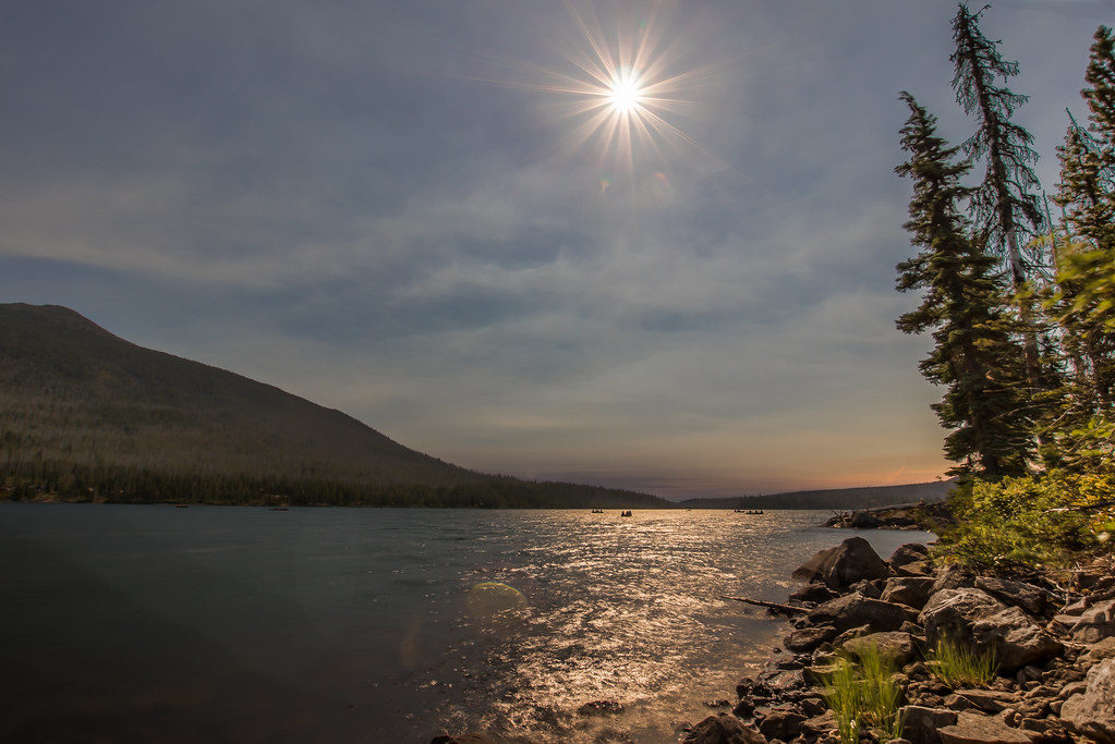 Photo: Infinite Dust, CC BY-SA 2.0 (via Flickr)
- 5.3 mi
- round trip
- 2,369 ft
- climb
- 5,368 ft
- high point
- Out and back
- route
Is Red Lake Trail #719 open right now?
Closure in the area
There's a closure order in Clackamas River Ranger District. It doesn't name Red Lake Trail #719, so check the source for the area it covers.
Clackamas River RD Fires
Agency closure covering Clackamas River Ranger District · Order 06-06-05-26-20 · USFS · Clackamas River Ranger District
Emergency fire closure on FR 57
Agency alert covering Clackamas River Ranger District · USFS · Clackamas River Ranger District
Eagle Creek Fire Area Closures
Agency alert covering Mt. Hood National Forest · Order 06-22-01-26-04 · USFS · Mt. Hood National Forest
Roadside Danger Trees Health and Safety Closure
Agency alert covering Clackamas River Ranger District · Order 06-06-05-26-02 · USFS · Clackamas River Ranger District
FR 4613 road damage- use caution
Agency alert covering Mt. Hood National Forest · USFS · Mt. Hood National Forest
As of · Source: USFS · Clackamas River Ranger District. Agencies don't list every closure — check before you go.
Red Lake Trail #719 is a hard hike in Oregon's Mt. Hood National Forest, within the Clackamas River Ranger District. The trail is an out-and-back that starts at about 5,335 feet and climbs to a high point of 5,368 feet, with a total gain of 2,369 feet over the course of the round trip. The one-way distance is about 10.6 miles, and the Forest Service manages the land. Summer is the most comfortable time to go. Typical averages from a nearby weather station at Santiam Junction, which sits well below the trail, show July and August highs around 76°F with lows near 42°F. That station's figures are not directly comparable to conditions on the trail, which sits higher. The hike takes about 4.5 hours. Top Lake and Timber Lake are both within half a mile, and Double Peaks is about 0.6 miles away. For an overnight stay, the Olallie Lake Guard Station Cabin is about 1.1 miles off.
Keep exploring — more trails worth the drive
 Photo: BHunsaker, CC BY 3.0 (via Wikimedia Commons)
Top Lake
Next door
0.96-mile out-and-back trail to Top Lake in Oregon with 197 ft gain.
Photo: BHunsaker, CC BY 3.0 (via Wikimedia Commons)Monon Lake
~2 min drive
4.20-mile loop trail at Monon Lake in Oregon with 382 ft gain.
 Photo: Nwcamera1, CC BY-SA 3.0 (via Wikimedia Commons)
Climber's Trail
~12 min drive
Short out-and-back climb with steady elevation gain near Oregon.
Photo: Infinite Dust, CC BY-SA 2.0 (via Flickr)Timber Lake
Next door
1.2-mile out-and-back trail at Timber Lake in Oregon with 52 ft of elevation gain.
 Photo: oregondave, CC BY-SA 3.0 (via Wikimedia Commons)
South Breitenbush Gorge
~13 min drive
3.00-mile out-and-back trail in Oregon with 769 ft gain.
HIKE
Olallie Butte Trail
~5 min drive
6.98-mile out-and-back hike in Oregon with 3,482 ft gain and 7,175 ft max elevation.
Photo: BHunsaker, CC BY 3.0 (via Wikimedia Commons)Double Peaks
Next door
0.70-mile out-and-back trail at Double Peaks in Oregon with 338 ft of elevation gain.
Photo: oregondave, CC BY-SA 3.0 (via Wikimedia Commons)Devil's Peak Trail
~14 min drive
2.92-mile out-and-back hike in Oregon with 1,996 ft elevation gain.
HIKE
Crag
~10 min drive
5.96-mile out-and-back trail in Oregon with 1,877 ft elevation gain.
Photo: Infinite Dust, CC BY-SA 2.0 (via Flickr)Red Lake
~1 min drive
Red Lake is a 1.80-mile out-and-back trail in Oregon with 261 feet of elevation gain.
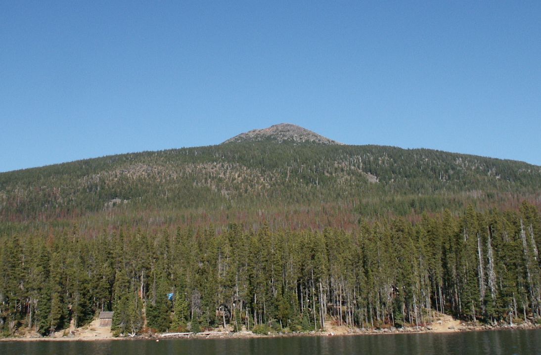

Map and trail data © OpenStreetMap contributors
