Climber's Trail
 Photo: Nwcamera1, CC BY-SA 3.0 (via Wikimedia Commons)
- 2.7 mi
- round trip
- 3,505 ft
- climb
- 7,751 ft
- high point
- Out and back
- route
Is Climber's Trail open right now?
Closure in the area
There's a closure order in Detroit Ranger District. It doesn't name Climber's Trail, so check the source for the area it covers (3 listed).
Beachie Creek and Lionshead Fires Closure
Agency closure covering Detroit Ranger District · Order 06-18-04-26-14 · USFS · Detroit Ranger District
Beachie Creek and Lionshead Fires Closure
Agency closure covering Detroit Ranger District · Order 06-18-04-26-14 · USFS · Detroit Ranger District
Cedar Creek Fire Closure
Agency closure covering Willamette National Forest · Order 06-18-10-26-04 · USFS · Willamette National Forest
FIRE CLOSURES: Current wildfire closures on the Willamette National Forest
Agency alert covering Willamette National Forest · USFS · Willamette National Forest
As of · Source: USFS · Detroit Ranger District. Agencies don't list every closure — check before you go.
Climber's Trail is a hard out-and-back hike in Oregon's Mount Jefferson Wilderness, within the Detroit Ranger District of the Willamette National Forest. The trail is about 5.4 miles long, with a one-way elevation gain of 3,471 feet, and it rises from a starting point near 5,712 feet to a high point of 7,751 feet. The route is a rolling climb, and the Forest Service manages the land. It is a wilderness hike, so plan for a full day on foot and bring everything you need for the trip. The most comfortable time to go is summer, when typical averages from a nearby weather station run in the low to mid 80s °F. Winter is cold, with typical averages in the 20s and 30s. Triangulation Trail #3373 is about 2.1 miles away, and Whitewater and Hunts Creek are both within about 3 miles. Breitenbush Lake campground sits about 4.7 miles off.
Local outfitters
- Big Lake Youth Camp31 mi away
- Expedition Old Growth32 mi away
Not on Roamze yet. Their page has how to reach them.
- Triangulation Trail #3373Hiking2.1 mi
- WhitewaterHiking2.8 mi
- Hunts CreekHiking3.2 mi
- South Fork North Fork Breitenbush RiverCanoeing3.8 mi
- Whitewater CreekCanoeing4 mi
- South Fork Breitenbush RiverCanoeing4 mi
- Breitenbush LakeCamping4.7 mi
- Horseshoe Lake (Olallie)Camping5.5 mi
Source: Roamze catalog (indexable pages within 10 miles, PostGIS distance)
 Pyramid ButteHiking · ~7 min drivePhoto: LukeDetwiler, CC BY 2.0 (via Flickr)
 Gibson LakeHiking · ~9 min drivePhoto: U.S. Forest Service- Pacific Northwest Region, Public domain (via Wikimedia Commons)
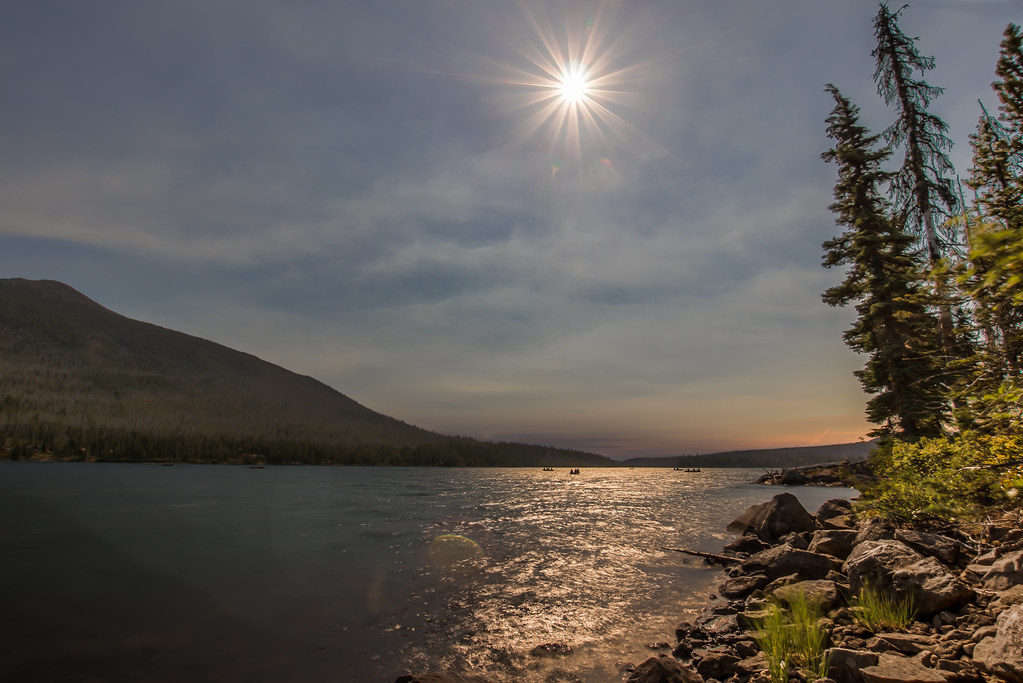 Red Lake Trail #719Hiking · ~12 min drivePhoto: Infinite Dust, CC BY-SA 2.0 (via Flickr)
 Table Lake CutoffHiking · ~10 min drivePhoto: U.S. Forest Service- Pacific Northwest Region, Public domain (via Wikimedia Commons)
 Ruddy HillHiking · ~9 min drivePhoto: Forest Service Pacific Northwest Region, Public Domain Mark (via Flickr)
- Triangulation Trail #3373Hiking · ~4 min drive
 Monon LakeHiking · ~11 min drivePhoto: BHunsaker, CC BY 3.0 (via Wikimedia Commons)
- Old Hunts CoveHiking · ~9 min drivePhoto: U.S. Forest Service- Pacific Northwest Region, Public domain (via Wikimedia Commons)
- WhitewaterHiking · ~5 min drive
- CragHiking · ~6 min drive
Also worth it near here


Map and trail data © OpenStreetMap contributors
