Pyramid Butte
 Photo: LukeDetwiler, CC BY 2.0 (via Flickr)
- 1.7 mi
- round trip
- 976 ft
- climb
- 6,082 ft
- high point
- Out and back
- route
Is Pyramid Butte open right now?
Closure in the area
There's a closure order in Detroit Ranger District. It doesn't name Pyramid Butte, so check the source for the area it covers (2 listed).
Beachie Creek and Lionshead Fires Closure
Agency closure covering Detroit Ranger District · Order 06-18-04-26-14 · USFS · Detroit Ranger District
Cedar Creek Fire Closure
Agency closure covering Willamette National Forest · Order 06-18-10-26-04 · USFS · Willamette National Forest
FIRE CLOSURES: Current wildfire closures on the Willamette National Forest
Agency alert covering Willamette National Forest · USFS · Willamette National Forest
As of · Source: USFS · Detroit Ranger District. Agencies don't list every closure — check before you go.
Pyramid Butte is a moderate out-and-back hike in Oregon's Mount Jefferson Wilderness, within the Detroit Ranger District of the Willamette National Forest. The trail is about 1.7 miles long, with a total elevation gain of 976 feet, and it starts at roughly 5,687 feet, reaching a high point of about 6,082 feet. The climb is steepest near the 0.6-mile mark, where the grade reaches about 24 percent. The trail is natural-surfaced, and the Forest Service manages the surrounding land. The hike takes about an hour to complete. Breitenbush Lake campground sits about 0.7 miles away, and Gibson Lake and Ruddy Hill are both within about 1.4 miles. Paddlers can reach the South Fork North Fork Breitenbush River, about 1.8 miles off.
Local outfitters
- Big Lake Youth Camp35 mi away
- Expedition Old Growth35 mi away
Not on Roamze yet. Their page has how to reach them.
Keep exploring — more trails worth the drive
 Photo: U.S. Forest Service- Pacific Northwest Region, Public domain (via Wikimedia Commons)
Gibson Lake
~2 min drive
0.90-mile out-and-back trail to Gibson Lake in Oregon with 225 ft of elevation gain.
 Photo: BHunsaker, CC BY 3.0 (via Wikimedia Commons)
Monon Lake
~4 min drive
4.20-mile loop trail at Monon Lake in Oregon with 382 ft gain.
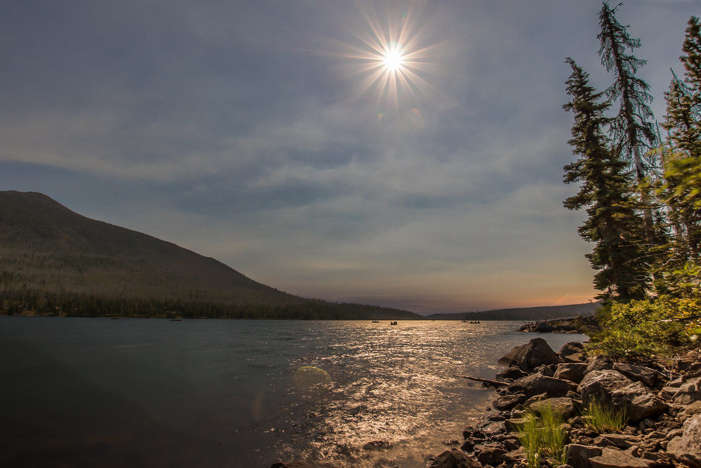 Photo: Infinite Dust, CC BY-SA 2.0 (via Flickr)
Red Lake Trail #719
~6 min drive
5.32-mile out-and-back trail in Oregon with 1,512 ft elevation gain.
 Photo: Forest Service Pacific Northwest Region, Public Domain Mark (via Flickr)
Ruddy Hill
~2 min drive
0.64-mile out-and-back trail to Ruddy Hill with 350 ft gain in Oregon.
 Photo: oregondave, CC BY-SA 3.0 (via Wikimedia Commons)
South Breitenbush Gorge
~14 min drive
3.00-mile out-and-back trail in Oregon with 769 ft gain.
 Photo: Nwcamera1, CC BY-SA 3.0 (via Wikimedia Commons)
Climber's Trail
~7 min drive
Short out-and-back climb with steady elevation gain near Oregon.
Photo: U.S. Forest Service- Pacific Northwest Region, Public domain (via Wikimedia Commons)Horseshoe Saddle
~2 min drive
1.36-mile out-and-back trail with 255 ft gain in Oregon.
HIKE
Bear Point
~5 min drive
3.60-mile out-and-back trail in Oregon with 589 ft gain and 2,200 ft loss.
HIKE
Triangulation Trail #3373
~8 min drive
12.14-mile out-and-back trail in Oregon with 3,695 ft elevation gain
Photo: BHunsaker, CC BY 3.0 (via Wikimedia Commons)Double Peaks
~5 min drive
0.70-mile out-and-back trail at Double Peaks in Oregon with 338 ft of elevation gain.

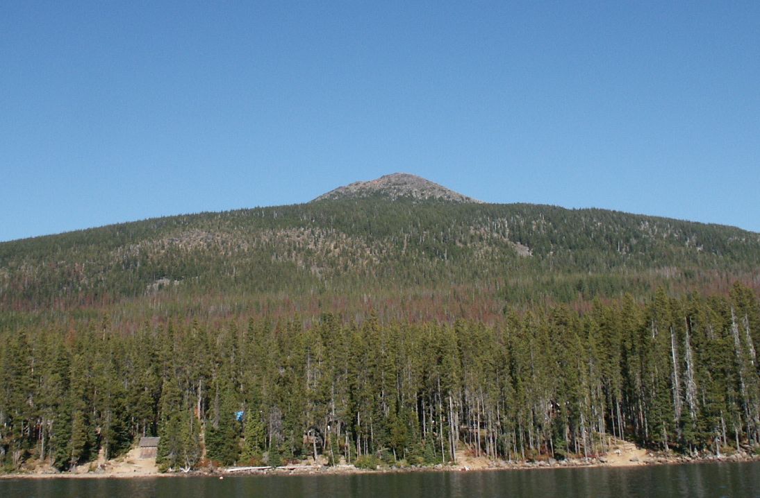
Route details
- Distance
- 1.7 mi round trip
- Climbing
- About 976 ft
- Summit
- 6,104 ft
- Difficulty
- Moderate
- Time
- About 1 hour
Questions about this route
How long is the Pyramid Butte on Pyramid Butte?
About 1.7 mi round trip.
How much elevation gain is on the Pyramid Butte?
About 976 ft of climbing round trip.
How hard is the Pyramid Butte?
It is rated moderate.
How long does the Pyramid Butte take?
About 1 hour round trip.
Conditions and forecast on Pyramid Butte
Daily highs and lows, wind and the chance of precipitation at the summit and route start for the next 7 days, from the Open-Meteo model.
