Lower Lake (olallie)
- May–Oct
- best months
Is Lower Lake (olallie) open right now?
Closure in the area
There's a closure order in Clackamas River Ranger District. It doesn't name Lower Lake (olallie), so check the source for the area it covers.
Clackamas River RD Fires
Agency closure covering Clackamas River Ranger District · Order 06-06-05-26-20 · USFS · Clackamas River Ranger District
Tamanawas Falls Trail closed due to instability hazards
Agency alert covering Mt. Hood National Forest · USFS · Mt. Hood National Forest
Emergency fire closure on FR 57
Agency alert covering Clackamas River Ranger District · USFS · Clackamas River Ranger District
Eagle Creek Fire Area Closures
Agency alert covering Mt. Hood National Forest · Order 06-22-01-26-04 · USFS · Mt. Hood National Forest
Roadside Danger Trees Health and Safety Closure
Agency alert covering Clackamas River Ranger District · Order 06-06-05-26-02 · USFS · Clackamas River Ranger District
As of · Source: USFS · Clackamas River Ranger District. Agencies don't list every closure — check before you go.
- At 4,831 ft
- Clackamas River Ranger DistrictMt. Hood National Forest
CLOSED DUE TO RIVERSIDE FIRE: Located on Lower Lake in the Olallie Lake Scenic Area just west of the border with the Warm Springs Indian Reservation. ; The Lake covers 14 acres and deep. There are numerous small lakes in the area worth exploring. Recreational activities include hiking, fishing, and non-motorized boating.
Local outfitters
- Pine Hollow Lakeside Resort & RV Park39 mi away
- Big Lake Youth Camp39 mi away
Not on Roamze yet. Their page has how to reach them.
- Olallie Lake Guard Station CabinCamping0.7 mi
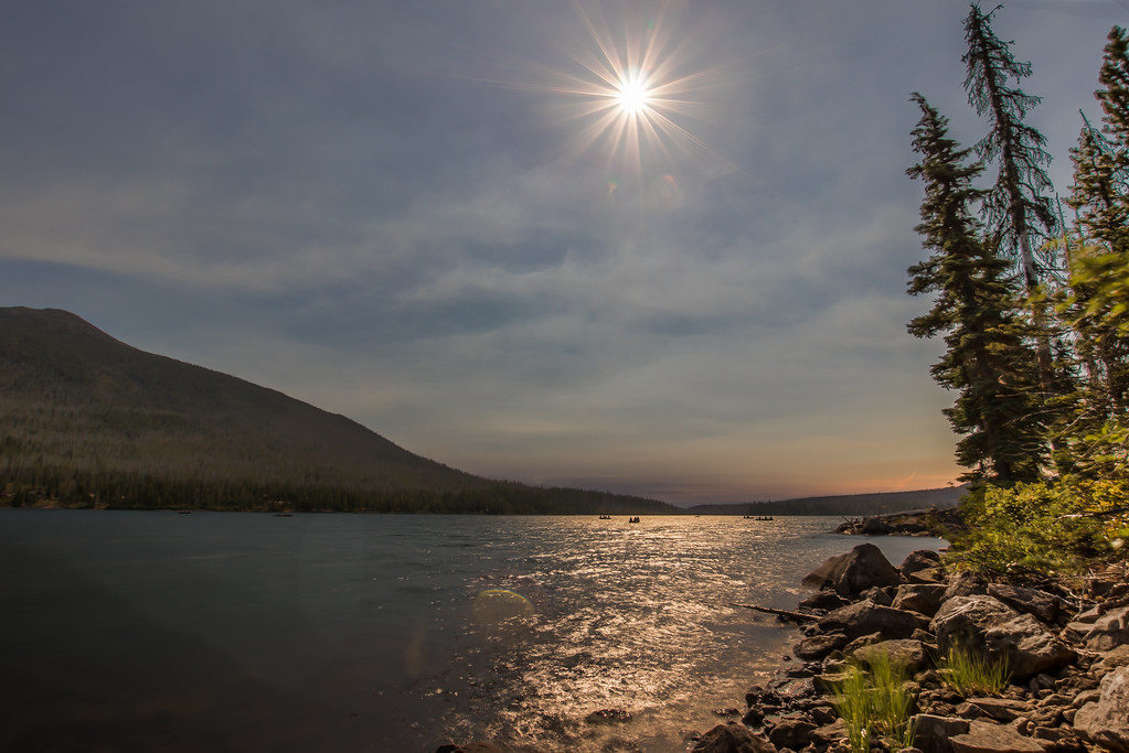 Red LakeHikingPhoto: Infinite Dust, CC BY-SA 2.0 (via Flickr)0.8 mi
- Paul Dennis (olallie)Camping0.9 mi
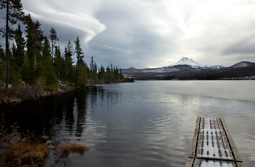 Olallie LakeHikingPhoto: Bonnie Moreland (free images), Public Domain Mark (via Flickr)1 mi
- Timber LakeHikingPhoto: Infinite Dust, CC BY-SA 2.0 (via Flickr)1.2 mi
- Camp Ten (olallie)Camping1.4 mi
- Cub CreekCanoeing4.6 mi
- South Fork North Fork Breitenbush RiverCanoeing4.7 mi
Source: Roamze catalog (indexable pages within 10 miles, PostGIS distance)
- KingfisherCamping · ~31 min drive
- McCoy ShelterHut camping · ~18 min drive
 Detroit Lake State Recreation AreaCamping · ~32 min drivePhoto: Sapphireblue — CC BY 2.0 (via Flickr)
- Candle Creek CampgroundCamping · ~32 min drive
- Clackamas LakeCamping · ~33 min drive
- Lower Lake CampgroundCamping · Next door
- Olallie Lake Guard Station CabinCamping · ~1 min drive
- Paul Dennis (olallie)Camping · ~2 min drive
- Paul Dennis CampgroundCamping · ~2 min drive
- Camp Ten (olallie)Camping · ~2 min drive
Also worth it near here
- Red LakeHiking · ~1 min drivePhoto: Infinite Dust, CC BY-SA 2.0 (via Flickr)
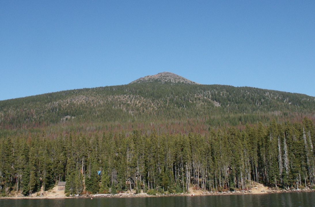 Olallie ButteSummit · ~3 min drivePhoto: M.O. Stevens at en.wikipedia, Public domain (via Wikimedia Commons)
- Upper LakeLake fishing · ~4 min drive
 Pyramid ButteMountain biking · ~7 min drivePhoto: EncMstr (talk · contribs), CC BY-SA 3.0 (via Wikimedia Commons)
Best time to visit Lower Lake (olallie)
Best months: May–October. Best months have typical highs of 55–85 °F, lows of 30 °F or warmer (32 °F where the station doesn't record snow), at most one snowy day and no more than 12 wet days.
Jan
38° / 24°
Feb
41° / 24°
Mar
44° / 26°
Apr
49° / 29°
May
58° / 35°
Jun
65° / 38°
Jul
76° / 42°
Aug
76° / 42°
Sep
69° / 39°
Oct
56° / 33°
Nov
42° / 28°
Dec
36° / 23°
Typical high / low (°F) and days with rain or snow, 1991–2020. Measured at Santiam Junction, OR, 27.7 mi away at 3,750 ft. The station sits about 1,100 ft lower than this place, so expect it a little cooler here. This station doesn't record snowfall. Source: NOAA NCEI U.S. Climate Normals 1991–2020.
