Mt. Elijah Tie Trail
- 1.6 mi
- round trip
- 1,214 ft
- climb
- 5,689 ft
- high point
- Out and back
- route
Caution today
Agency alerts are in effect for this area; weather is marginal · USFS, OpenWeather · checked 8 h ago
Is Mt. Elijah Tie Trail open right now?
Closure in the area
There's a closure order in Wild Rivers Ranger District. It doesn't name Mt. Elijah Tie Trail, so check the source for the area it covers.
Illinois Falls Trail Bridge Closure
Agency closure covering Wild Rivers Ranger District · Order 06-10-22-25-02 · USFS · Wild Rivers Ranger District
Illinois River Road Seasonal Restrictions
Agency alert covering Wild Rivers Ranger District · Order 06-10-22-26-01 · USFS · Wild Rivers Ranger District
As of · Source: USFS · Wild Rivers Ranger District. Agencies don't list every closure — check before you go.
Mt. Elijah Tie Trail is a moderate out-and-back hike in Oregon's Rogue River-Siskiyou National Forests, within the Wild Rivers Ranger District and Oregon Caves National Monument and Preserve. The National Park Service manages the land, and the trail starts at about 5,336 feet, rising to a high point of 5,689 feet with a total gain of 1,214 feet over the course of the 3.1-mile round trip. The climb is steady, with the steepest stretch at about 1.5 miles in, where the grade reaches 17%. The trail is about 1.57 miles long one way, and the round trip takes roughly 1.5 hours. Several other routes sit close by. Lake Mountain/Bigelow Lakes Trail is about 0.6 miles away, and Lake Mountain and Big Tree Trail are each within about a mile. For an overnight stay, Chinquapin Group Campground is about 4.8 miles off.
Local outfitters
- Applegate Trail Rides10 mi away
- Huntfluent Guide Service24 mi away
Not on Roamze yet. Their page has how to reach them.
- Lake Mountain/Bigelow Lakes TrailHiking0.6 mi
- Lake MountainHiking1 mi
- Big Tree TrailHiking1.2 mi
- Grayback CreekCanoeing2.8 mi
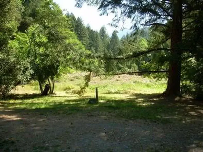 Chinquapin Group CampgroundCampingPhoto: Recreation.gov (RIDB) / public domain4.8 mi
- Chinquapinn CampCamping4.8 mi
- Sucker CreekCanoeing4.9 mi
- GraybackCamping5.1 mi
Source: Roamze catalog (indexable pages within 10 miles, PostGIS distance)
 Cliff Nature TrailHiking · ~3 min drivePhoto: James Wellington, CC BY 2.0 (via Flickr)
- No Name TrailHiking · ~3 min drivePhoto: James Wellington, CC BY 2.0 (via Flickr)
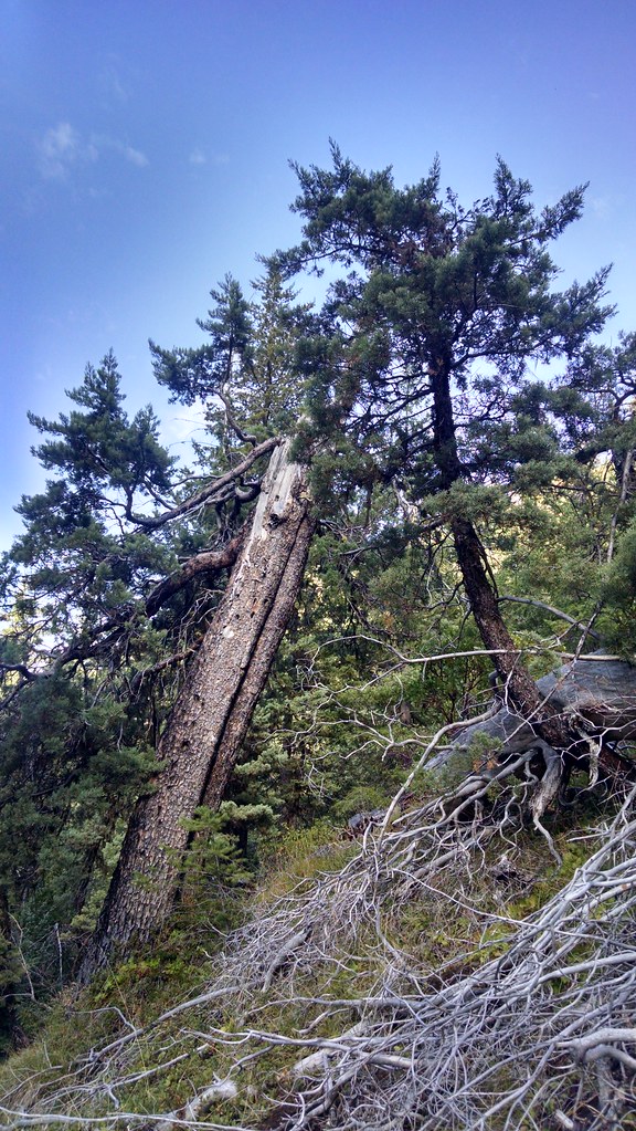 Miller LakeHiking · ~8 min drivePhoto: theforestprimeval, CC BY-SA 2.0 (via Flickr)
- Big Tree TrailHiking · ~2 min drive
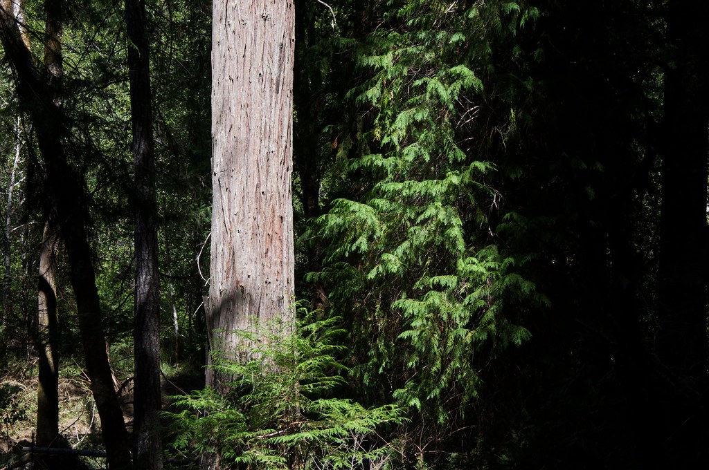 Grayback InterpretativeHiking · ~8 min drivePhoto: Sam Beebe, CC BY 2.0 (via Flickr)
 Kings SaddleHiking · ~12 min drivePhoto: Forest Service Pacific Northwest Region, Public Domain Mark (via Flickr)
 Da-Ku-Be-Te-DeHiking · ~22 min drivePhoto: n.p.young, CC BY 3.0 (via Wikimedia Commons)
- Grayback Mountain TrailHiking · ~11 min drive
- Cave Exit TrailHiking · ~3 min drive
- Lake MountainHiking · ~2 min drive
Map and trail data © OpenStreetMap contributors
