Lake Mountain
- 5.2 mi
- round trip
- 1,936 ft
- climb
- 6,384 ft
- high point
- Out and back
- route
Is Lake Mountain open right now?
Closure in the area
There's a closure order in Wild Rivers Ranger District. It doesn't name Lake Mountain, so check the source for the area it covers.
Illinois Falls Trail Bridge Closure
Agency closure covering Wild Rivers Ranger District · Order 06-10-22-25-02 · USFS · Wild Rivers Ranger District
Illinois River Road Seasonal Restrictions
Agency alert covering Wild Rivers Ranger District · Order 06-10-22-26-01 · USFS · Wild Rivers Ranger District
As of · Source: USFS · Wild Rivers Ranger District. Agencies don't list every closure — check before you go.
Lake Mountain is a moderate out-and-back hike in Oregon's Rogue River-Siskiyou National Forests, within the Wild Rivers Ranger District and Oregon Caves National Monument and Preserve. The National Park Service manages the land, and the route is about 5 miles long, with a one-way elevation gain of 986 feet and a total round-trip gain of 1,936 feet. The trail's high point is 6,384 feet, and the steepest stretch comes at about 2.1 miles in, with a grade of 24 percent. The trail is natural-surfaced and allows bikes, and it is not an accessible route. It is open year-round, and the estimated time for the trip is about 2.5 hours. Several other trails sit close by. Big Tree Trail is just 0.2 miles away, and Cliff Nature Trail and Cave Exit Trail are each about 0.8 miles off. For an overnight stay, Chinquapin Group Campground is roughly 4.6 miles away.
Local outfitters
- Applegate Trail Rides11 mi away
- Huntfluent Guide Service24 mi away
Not on Roamze yet. Their page has how to reach them.
Keep exploring — more trails worth the drive
 Photo: James Wellington, CC BY 2.0 (via Flickr)
Cliff Nature Trail
~1 min drive
0.49-mile loop with 494 ft gain in Oregon.
Photo: James Wellington, CC BY 2.0 (via Flickr)No Name Trail
~2 min drive
1.48-mile out-and-back hike in Oregon with 1,342 ft elevation gain
 Photo: Forest Service Pacific Northwest Region, Public Domain Mark (via Flickr)
Bolan Lake
~11 min drive
1.70-mile out-and-back trail to Bolan Lake in Oregon with 430 ft gain.
HIKE
Big Tree Trail
Next door
3.37-mile out-and-back trail in Oregon with 899 ft gain.
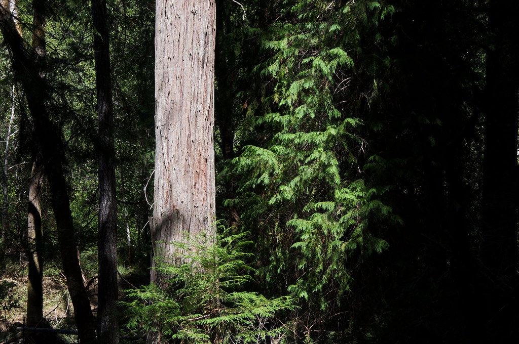 Photo: Sam Beebe, CC BY 2.0 (via Flickr)
Grayback Interpretative
~8 min drive
1.82-mile loop trail in Oregon with 137 ft elevation gain.
Photo: Forest Service Pacific Northwest Region, Public Domain Mark (via Flickr)Kings Saddle
~10 min drive
3.00-mile out-and-back trail in Oregon with 334 ft gain and 664 ft loss.
 Photo: Curt Kline, CC BY 3.0 (via Wikimedia Commons)
Mountain View Mine Trail
~16 min drive
6.06-mile out-and-back hike in Oregon with 3,933 ft elevation gain and loss.
HIKE
Boundary Trail
~11 min drive
Boundary Trail is a 15.23-mile out-and-back trail in Oregon.
HIKE
Cave Exit Trail
~1 min drive
0.33-mile out-and-back trail in Oregon's national park with 178 ft gain.
HIKE
Mt. Elijah Tie Trail
~2 min drive
3.14-mile out-and-back hike in Oregon with 1,214 ft gain and 5,689 ft max elevation.
Route details
- Distance
- 5.2 mi round trip
- Climbing
- About 1,936 ft
- Summit
- 6,392 ft
- Difficulty
- Moderate
- Time
- About 2.5 hours
Season
Season: Year-round.
Other routes up Mount Elijah
Questions about this route
How long is the Lake Mountain on Mount Elijah?
About 5.2 mi round trip.
How much elevation gain is on the Lake Mountain?
About 1,936 ft of climbing round trip.
How hard is the Lake Mountain?
It is rated moderate.
How long does the Lake Mountain take?
About 2.5 hours round trip.
When is the best time for the Lake Mountain?
Year-round.
How many routes go up Mount Elijah?
2: Lake Mountain/Bigelow Lakes Trail and Lake Mountain.
Conditions and forecast on Mount Elijah
Daily highs and lows, wind and the chance of precipitation at the summit and route start for the next 7 days, from the Open-Meteo model.
