Grayback Mountain Trail
- 8.3 mi
- round trip
- 4,828 ft
- climb
- 6,177 ft
- high point
- Out and back
- route
- May–Oct
- best months
Grayback Mountain Trail is an out-and-back hike on Bureau of Land Management land in southern Oregon, within the Medford Grants Pass Field Office. The trailhead is named Grayback Mountain Trail Trailhead, and the route rises from about 3,034 feet to a high point of 6,177 feet, with a total elevation gain of 4,828 feet over the course of the trip. The climb is front-loaded, and the steepest stretch comes at about 1.6 miles in, where the grade reaches 43%. Summer is the most comfortable time to go. Typical averages from a nearby weather station at Howard Prairie Dam show July and August highs around 79°F with only two or three wet days a month, while winter brings highs in the mid-30s and regular snow days from December through February. That station sits about 1,600 feet lower than the trail's high point, so temperatures on the mountain run cooler. The trail is rated expert, and the route is long and steep. Plan on a full day, and check current conditions before heading out. Several other outings lie within a few miles, including the Layton Ditch Trail and West Fork Williams Creek, both about 2.3 miles away, and Chinquapinn Camp, about 8.6 miles off.
Local outfitters
- Applegate Trail Rides4 mi away
- Huntfluent Guide Service19 mi away
Not on Roamze yet. Their page has how to reach them.
- West Fork Williams CreekCanoeing2.3 mi
- Layton Ditch TrailHiking2.3 mi
- O'brien CreekHiking4 mi
- Elk CreekHiking5.7 mi
- Grayback CreekCanoeing5.8 mi
- Williams CreekCanoeing6.7 mi
- Chinquapinn CampCamping8.6 mi
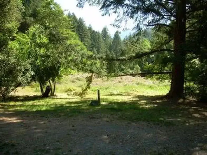 Chinquapin Group CampgroundCampingPhoto: Recreation.gov (RIDB) / public domain8.7 mi
Source: Roamze catalog (indexable pages within 10 miles, PostGIS distance)
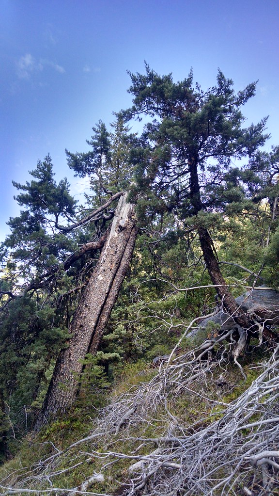 Miller LakeHiking · ~11 min drivePhoto: theforestprimeval, CC BY-SA 2.0 (via Flickr)
 No Name TrailHiking · ~14 min drivePhoto: James Wellington, CC BY 2.0 (via Flickr)
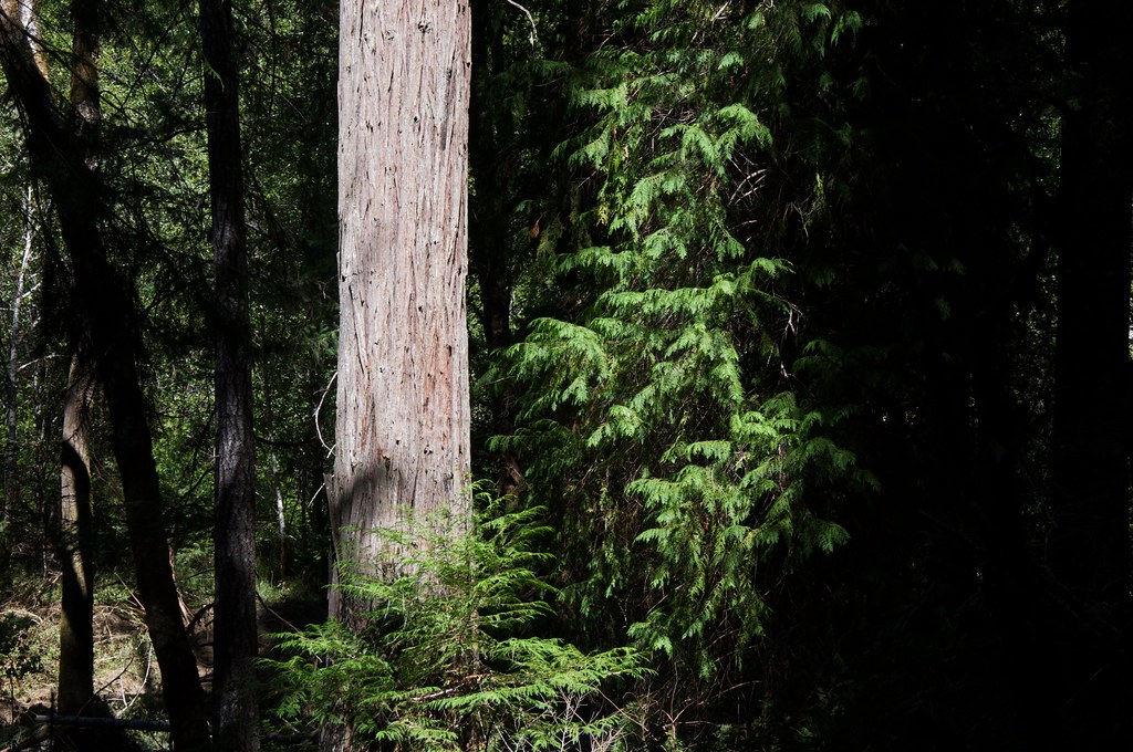 Grayback InterpretativeHiking · ~15 min drivePhoto: Sam Beebe, CC BY 2.0 (via Flickr)
- Big Tree TrailHiking · ~13 min drive
 Mountain View Mine TrailHiking · ~12 min drivePhoto: Curt Kline, CC BY 3.0 (via Wikimedia Commons)
- Layton Ditch TrailHiking · ~4 min drive
- Cliff Nature TrailHiking · ~13 min drivePhoto: James Wellington, CC BY 2.0 (via Flickr)
- Boundary TrailHiking · ~19 min drive
- Kerby PeakHiking · ~18 min drive
- Elk CreekHiking · ~10 min drive
Best time to visit Grayback Mountain Trail
Best months: May–October. Best months have typical highs of 55–85 °F, lows of 30 °F or warmer (32 °F where the station doesn't record snow), at most one snowy day and no more than 12 wet days.
Jan
36° / 23°
15 wet · 9 snow
Feb
40° / 23°
14 wet · 8 snow
Mar
45° / 26°
16 wet · 8 snow
Apr
50° / 29°
13 wet · 4 snow
May
60° / 36°
11 wet · 1 snow
Jun
68° / 40°
5 wet
Jul
79° / 47°
3 wet
Aug
79° / 46°
2 wet
Sep
72° / 40°
4 wet
Oct
58° / 33°
8 wet · 1 snow
Nov
42° / 28°
13 wet · 5 snow
Dec
35° / 23°
15 wet · 9 snow
Typical high / low (°F) and days with rain or snow, 1991–2020. Measured at Howard Prairie Dam, OR, 46.9 mi away at 4,567 ft. The station sits about 1,600 ft lower than this place, so expect it a little cooler here. Source: NOAA NCEI U.S. Climate Normals 1991–2020.

