Sisters Cow Camp
Campground
Campground · < 0.1 mi from the trail
Closure in the area
There's a closure order in Deschutes National Forest. It doesn't name Metolius-Windigo Trail, so check the source for the area it covers.
West Bend Area Trail Closures
Agency closure covering Deschutes National Forest · USFS · Deschutes National Forest
Camping & Campfire Restrictions Forest Order
Agency alert covering Deschutes National Forest · Order 06-01-26-01 · USFS · Deschutes National Forest
Cave Resource Protection Forest Order
Agency alert covering Deschutes National Forest · Order 06-01-26-02 · USFS · Deschutes National Forest
Deschutes 14-Day Camping Order
Agency alert covering Deschutes National Forest · Order 06-01-25-01 · USFS · Deschutes National Forest
Wilderness Permit, Camping & Fire Restrictions Order
Agency alert covering Deschutes National Forest · Order 06-01-24-01 · USFS · Deschutes National Forest
As of · Source: USFS · Deschutes National Forest. Agencies don't list every closure — check before you go.
The Metolius-Windigo Trail is a short, easy out-and-back hike in Oregon's Deschutes National Forest, within the Sisters Ranger District and managed by the Forest Service. The trail is about 1.4 miles long, with a total elevation gain of 109 feet, and it starts and ends at nearly the same point, about 3,425 feet. The steepest section comes at around the 0.6-mile mark, where the grade reaches about 6 percent. The most comfortable months for a visit are typically June and September, when typical averages from the nearby Sisters weather station run from highs around 74°F in June to about 76°F in September. That station sits roughly 245 feet lower than the trail's high point, so temperatures on the trail run a little cooler. The hike takes about half an hour to complete. The Jimerson trail starts just 0.1 mile away, and the Elk Ranch and Sisters High School South trails are both about 2.2 miles off. Cold Spring campground is about 2.5 miles away.
Sisters Cow Camp
Campground
Takoda's
Restaurant
Clearwater Gallery
Gallery
Places © OpenStreetMap contributors
More in SistersNot on Roamze yet. Their page has how to reach them.
 Elk RanchHikingPhoto: inkknife_2000 (7.5 million views +), CC BY-SA 2.0 (via Wikimedia Commons)2.2 miSisters High School SouthHikingPhoto: inkknife_2000 (7.5 million views +), CC BY-SA 2.0 (via Wikimedia Commons)2.2 mi
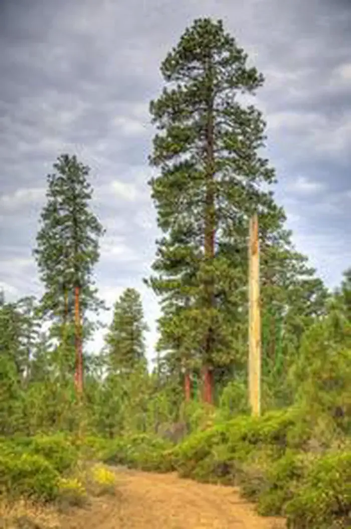 Cold Springs Campground (or)CampingPhoto: Recreation.gov (RIDB) / public domain2.5 mi
 Whychus CreekCanoeingPhoto: Ian Sane, CC BY 2.0 (via Wikimedia Commons)5.6 mi
Source: Roamze catalog (indexable pages within 10 miles, PostGIS distance)
 Metolius-Windigo TrailHiking · ~2 min drivePhoto: Art Anderson, CC BY-SA 3.0 (via Wikimedia Commons)Elk RanchHiking · ~4 min drivePhoto: inkknife_2000 (7.5 million views +), CC BY-SA 2.0 (via Wikimedia Commons)
 PETERSON RIDGE TRAIL EASTHiking · ~6 min drivePhoto: Art Anderson, CC BY-SA 3.0 (via Wikimedia Commons)
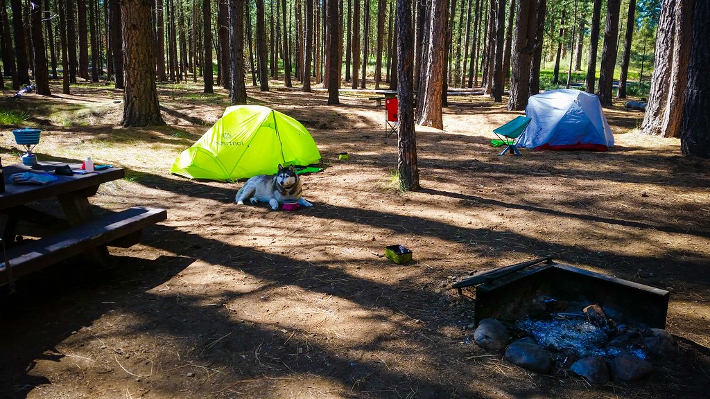 Metolius-Windigo TrailHiking · ~4 min drivePhoto: Forest Service Pacific Northwest Region, Public Domain Mark (via Flickr)Whychus Creek Metolius-WindigoHiking · ~5 min drivePhoto: Art Anderson, CC BY-SA 3.0 (via Wikimedia Commons)
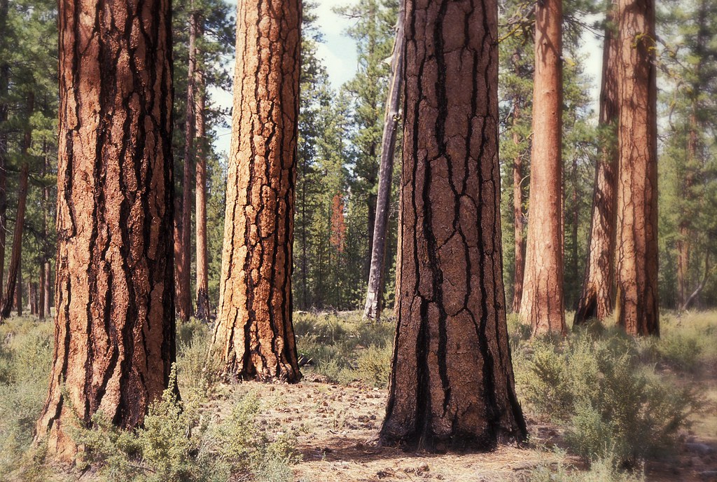 Peterson Burn HorseHiking · ~6 min drivePhoto: Forest Service Pacific Northwest Region, Public Domain Mark (via Flickr)
 Four Mile Butte LoopHiking · ~5 min drivePhoto: Robert Ashworth from Bellingham, WA., USA, CC BY 2.0 (via Wikimedia Commons)
 Whychus CreekHiking · ~7 min drivePhoto: inkknife_2000 (7.5 million views +), CC BY-SA 2.0 (via Wikimedia Commons)
 Peterson Ridge TieHiking · ~7 min drivePhoto: U.S. Forest Service- Pacific Northwest Region, Public domain (via Wikimedia Commons)
 Prt to Whychus CreekHiking · ~7 min drivePhoto: U.S. Forest Service- Pacific Northwest Region, Public domain (via Wikimedia Commons)
Best months: May–June and August–September. Best months have typical highs of 55–85 °F, lows of 30 °F or warmer (32 °F where the station doesn't record snow), at most one snowy day and no more than 12 wet days.
Jan
41° / 21°
Feb
44° / 22°
Mar
51° / 25°
Apr
57° / 29°
May
66° / 34°
Jun
74° / 39°
Jul
86° / 43°
Aug
85° / 42°
Sep
76° / 36°
Oct
61° / 29°
Nov
47° / 25°
Dec
39° / 20°
Typical high / low (°F) and days with rain or snow, 1991–2020. Measured at Sisters, OR, 3.4 mi away at 3,180 ft. This station doesn't record snowfall. Source: NOAA NCEI U.S. Climate Normals 1991–2020.
Map and trail data © OpenStreetMap contributors
