Cold Spring
Campground
Campground · 0.3 mi from the trail
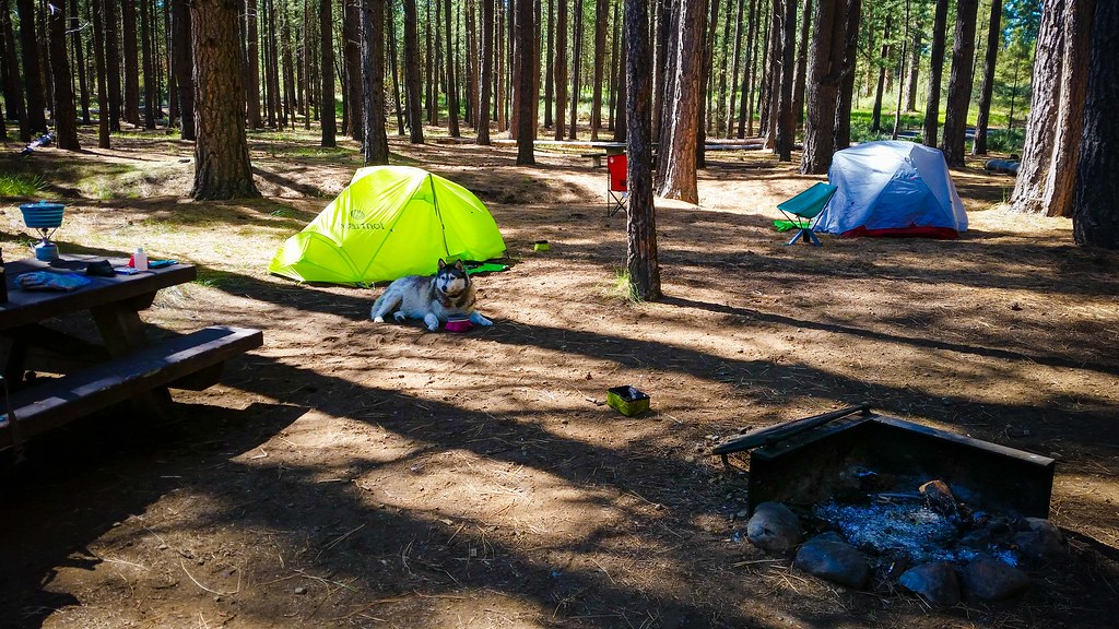 Photo: Forest Service Pacific Northwest Region, Public Domain Mark (via Flickr)
Closure in the area
There's a closure order in Deschutes National Forest. It doesn't name Metolius-Windigo Trail, so check the source for the area it covers.
West Bend Area Trail Closures
Agency closure covering Deschutes National Forest · USFS · Deschutes National Forest
Camping & Campfire Restrictions Forest Order
Agency alert covering Deschutes National Forest · Order 06-01-26-01 · USFS · Deschutes National Forest
Cave Resource Protection Forest Order
Agency alert covering Deschutes National Forest · Order 06-01-26-02 · USFS · Deschutes National Forest
Deschutes 14-Day Camping Order
Agency alert covering Deschutes National Forest · Order 06-01-25-01 · USFS · Deschutes National Forest
Wilderness Permit, Camping & Fire Restrictions Order
Agency alert covering Deschutes National Forest · Order 06-01-24-01 · USFS · Deschutes National Forest
As of · Source: USFS · Deschutes National Forest. Agencies don't list every closure — check before you go.
The Metolius-Windigo Trail is a short out-and-back hike in the Sisters Ranger District of Deschutes National Forest in Oregon. It starts and ends at roughly 3,420 feet, with a high point of about 3,487 feet, and it's an easy walk of about 0.66 miles round trip with a total climb of 81 feet. The Forest Service manages the land. The trail is a quick outing rather than a destination in itself. It's a front-loaded climb, with the steepest stretch at about 0.16 miles into the route, and the grade there reaches about 6 percent. The whole trip takes about half an hour. For comfortable weather, aim for late spring through early fall. Typical averages from a nearby weather station in Sisters show June highs around 74°F and September highs around 76°F, with July and August warming to the mid-80s. Cold Spring and Cold Springs Campground (or) are both about 0.3 miles away. The Four Mile Butte Loop is 1.2 miles off, and Whychus Creek, a canoeing spot, is about 6 miles away.
Cold Spring
Campground
Kiwanis club
Attraction
Places © OpenStreetMap contributors
More in SistersNot on Roamze yet. Their page has how to reach them.
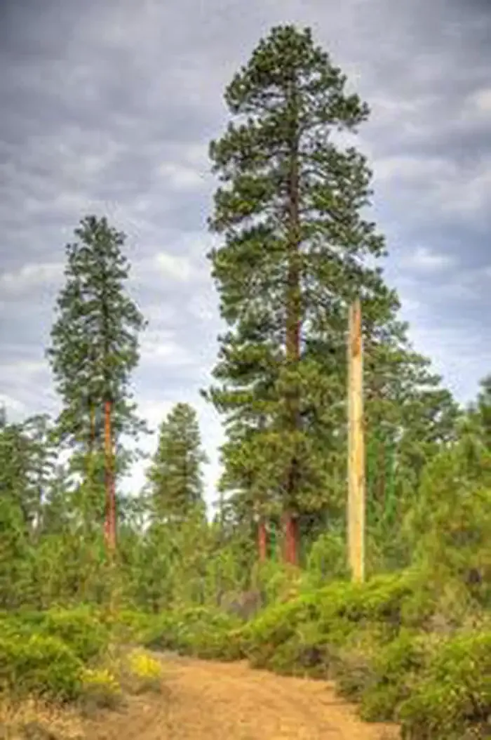 Cold Springs Campground (or)CampingPhoto: Recreation.gov (RIDB) / public domain0.3 mi
 Four Mile Butte LoopHikingPhoto: Robert Ashworth from Bellingham, WA., USA, CC BY 2.0 (via Wikimedia Commons)1.2 mi
 Whychus CreekCanoeingPhoto: Ian Sane, CC BY 2.0 (via Wikimedia Commons)6 mi
Source: Roamze catalog (indexable pages within 10 miles, PostGIS distance)
 Metolius-Windigo TrailHiking · ~2 min drivePhoto: Art Anderson, CC BY-SA 3.0 (via Wikimedia Commons)
 Elk RanchHiking · ~5 min drivePhoto: inkknife_2000 (7.5 million views +), CC BY-SA 2.0 (via Wikimedia Commons)Sisters High School SouthHiking · ~5 min drivePhoto: inkknife_2000 (7.5 million views +), CC BY-SA 2.0 (via Wikimedia Commons)Four Mile Butte LoopHiking · ~2 min drivePhoto: Robert Ashworth from Bellingham, WA., USA, CC BY 2.0 (via Wikimedia Commons)
 Whychus Creek Metolius-WindigoHiking · ~7 min drivePhoto: Art Anderson, CC BY-SA 3.0 (via Wikimedia Commons)PETERSON RIDGE TRAIL EASTHiking · ~7 min drivePhoto: Art Anderson, CC BY-SA 3.0 (via Wikimedia Commons)Four Mile ButteHiking · ~4 min drivePhoto: Robert Ashworth from Bellingham, WA., USA, CC BY 2.0 (via Wikimedia Commons)
 Whychus CreekHiking · ~10 min drivePhoto: inkknife_2000 (7.5 million views +), CC BY-SA 2.0 (via Wikimedia Commons)
 Lower Butte LoopsHiking · ~9 min drivePhoto: Don Graham from Redlands, CA, USA - God bless it!, CC BY-SA 2.0 (via Wikimedia Commons)
Best months: May–June and August–September. Best months have typical highs of 55–85 °F, lows of 30 °F or warmer (32 °F where the station doesn't record snow), at most one snowy day and no more than 12 wet days.
Jan
41° / 21°
Feb
44° / 22°
Mar
51° / 25°
Apr
57° / 29°
May
66° / 34°
Jun
74° / 39°
Jul
86° / 43°
Aug
85° / 42°
Sep
76° / 36°
Oct
61° / 29°
Nov
47° / 25°
Dec
39° / 20°
Typical high / low (°F) and days with rain or snow, 1991–2020. Measured at Sisters, OR, 4.3 mi away at 3,180 ft. This station doesn't record snowfall. Source: NOAA NCEI U.S. Climate Normals 1991–2020.
Map and trail data © OpenStreetMap contributors
