
Black Pine Dispersed Camping Area
Campground
2.3 mi from the trail
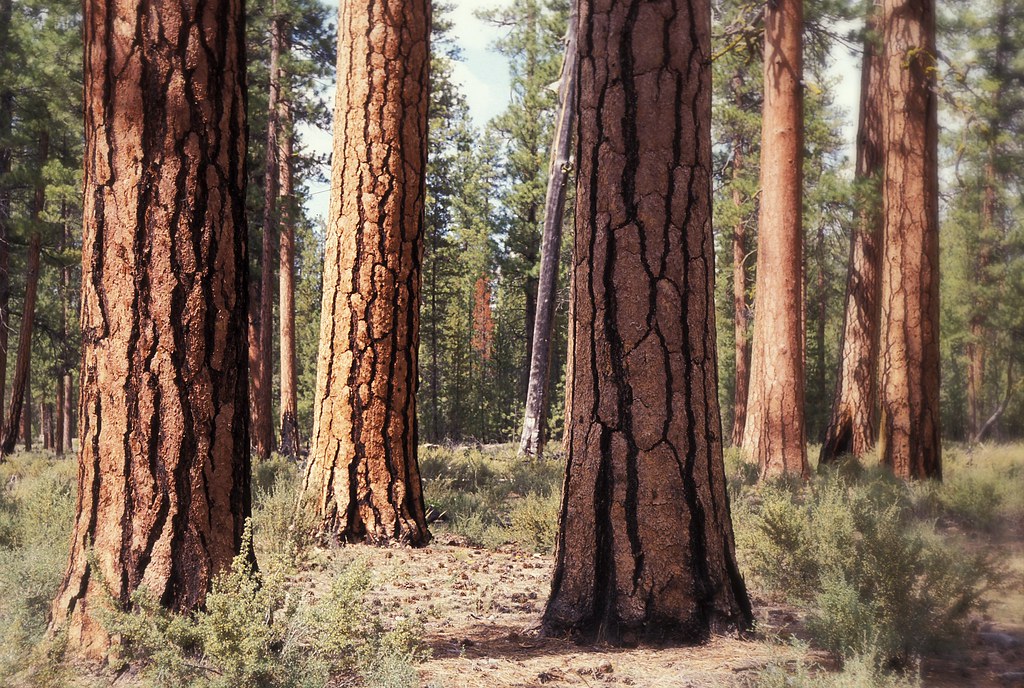 Photo: Forest Service Pacific Northwest Region, Public Domain Mark (via Flickr)
Peterson Burn Horse is a hard hike in the Sisters Ranger District of Deschutes National Forest in Oregon, about 8 miles from the town of Sisters. The route is an out-and-back of roughly 17 miles, with a total elevation gain of about 800 feet. The Forest Service manages the land. Summer is the most comfortable time to go. Typical averages from a nearby weather station in Sisters show July highs around 86°F with lows near 43°F, while September cools to highs in the mid-70s. Several other trails sit close by. Cougar Draw Trail #4071 is under a mile away, and Whychus Creek Overlook and Peterson Ridge Tie are each about a mile off. For an overnight base, Cold Spring campground is about 6 miles away.
Where it is: Sisters Ranger District · Deschutes National Forest
Near: Sisters
Best months: May–June and August–September. Best months have typical highs of 55–85 °F, lows of 30 °F or warmer (32 °F where the station doesn't record snow), at most one snowy day and no more than 12 wet days.
Jan
41°
21°
Feb
44°
22°
Mar
51°
25°
Apr
57°
29°
May
66°
34°
Jun
74°
39°
Jul
86°
43°
Aug
85°
42°
Sep
76°
36°
Oct
61°
29°
Nov
47°
25°
Dec
39°
20°
Typical high / low (°F) and days with rain or snow, 1991–2020. Measured at Sisters, OR, 4.7 mi away at 3,180 ft. We don't have this place's elevation, so higher spots nearby can run cooler. This station doesn't record snowfall. Source: NOAA NCEI U.S. Climate Normals 1991–2020.
Been here? Tell people how it was.
 Cougar Draw Trail #4071HikingPhoto: U.S. Forest Service- Pacific Northwest Region, Public domain (via Wikimedia Commons)0.8 mi
 Whychus Creek OverlookHikingPhoto: U.S. Forest Service- Pacific Northwest Region, Public domain (via Wikimedia Commons)1.1 miPeterson Ridge TieHikingPhoto: U.S. Forest Service- Pacific Northwest Region, Public domain (via Wikimedia Commons)1.1 mi
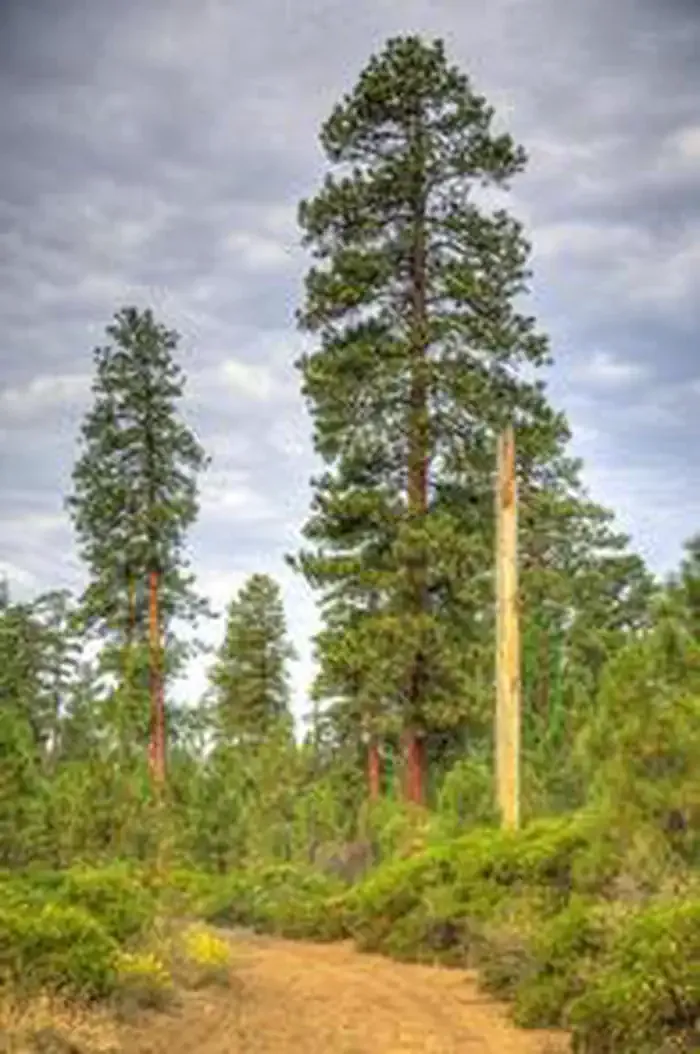 Cold Springs Campground (or)CampingPhoto: Recreation.gov (RIDB) / public domain6 mi
 Three Creeks Meadow CampgroundCampingPhoto: Recreation.gov (RIDB) / public domain6.4 miCougar Draw Trail #4071HikingPhoto: U.S. Forest Service- Pacific Northwest Region, Public domain (via Wikimedia Commons)~1 min drivePeterson Ridge TieHikingPhoto: U.S. Forest Service- Pacific Northwest Region, Public domain (via Wikimedia Commons)~2 min drivePETERSON RIDGE HORSE TRAILHikingPhoto: U.S. Forest Service- Pacific Northwest Region, Public domain (via Wikimedia Commons)~3 min driveWhychus Creek OverlookHikingPhoto: U.S. Forest Service- Pacific Northwest Region, Public domain (via Wikimedia Commons)~2 min drive
 PETERSON RIDGE TRAIL EASTHikingPhoto: Art Anderson, CC BY-SA 3.0 (via Wikimedia Commons)~8 min drive
 Whychus CreekHikingPhoto: inkknife_2000 (7.5 million views +), CC BY-SA 2.0 (via Wikimedia Commons)~3 min drivePrt to Whychus CreekHikingPhoto: U.S. Forest Service- Pacific Northwest Region, Public domain (via Wikimedia Commons)~3 min drive
 Sisters High School SouthHikingPhoto: inkknife_2000 (7.5 million views +), CC BY-SA 2.0 (via Wikimedia Commons)~8 min drivePeterson Ridge TrailHikingPhoto: inkknife_2000 (7.5 million views +), CC BY-SA 2.0 (via Wikimedia Commons)~6 min drive
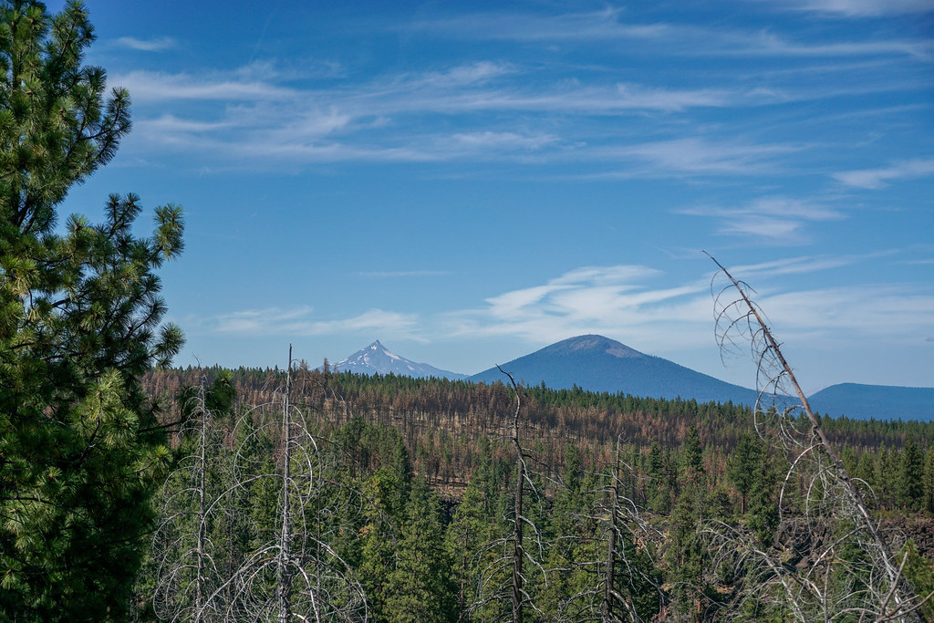 Top Run ConnectorHikingPhoto: dogplusplus, CC BY 2.0 (via Flickr)~3 min drive
Daily highs and lows, wind and the chance of precipitation at Start for the next 7 days, from the Open-Meteo model.
Questions about Peterson Burn Horse: conditions, access, timing. Answers say when something isn't known.
Black Pine Dispersed Camping Area
Campground
Clearwater Gallery
Gallery
Places © OpenStreetMap contributors
More in SistersNot on Roamze yet. Their page has how to reach them.
