Kerby Peak
- 3.2 mi
- round trip
- 3,242 ft
- climb
- 5,543 ft
- high point
- Out and back
- route
Kerby Peak is a hard hike on Bureau of Land Management land in the Medford Grants Pass Field Office in southern Oregon, about 3 miles from the town of Grants Pass. The route is an out-and-back of about 6.5 miles, with a total climb of roughly 3,200 feet. The peak sits at about 5,500 feet, and the climb is front-loaded, with the steepest stretch coming within the first mile at a grade of about 41 percent. The hike starts at around 2,986 feet and reaches its high point at 5,543 feet. The route is natural surface, and the climb is one way, so the round trip adds about 3,200 feet of descent. For paddling, South Fork Deer Creek is about 1.5 miles away and Deer Creek about 5.6 miles. The Eagle Alternative Trail and Mountain Top Trail are both within about 6 miles.
Local outfitters
- Applegate Trail Rides10 mi away
- Huntfluent Guide Service15 mi away
Not on Roamze yet. Their page has how to reach them.
Conditions and forecast on Kerby Peak
Daily highs and lows, wind and the chance of precipitation at the summit and route start for the next 7 days, from the Open-Meteo model.
- South Fork Deer CreekCanoeing1.5 mi
- Deer CreekCanoeing5.6 mi
- McMullin CreekCanoeing6 mi
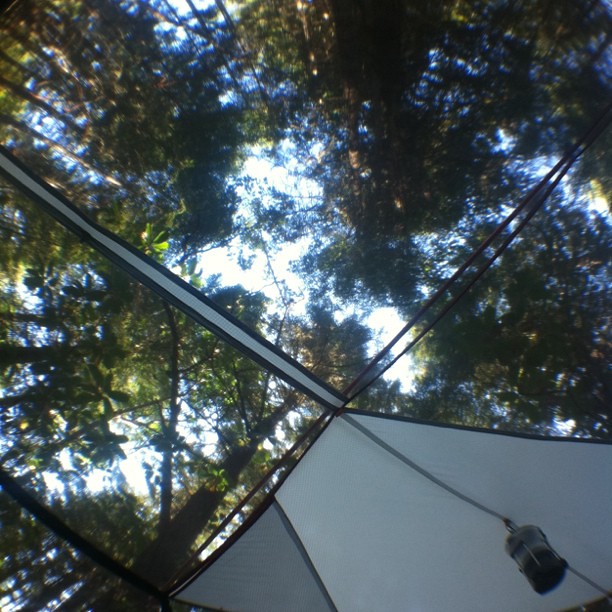 Eagle Alternative TrailHikingPhoto: scubamarketing, CC BY-SA 2.0 (via Flickr)6.1 mi
- Mountain Top TrailHikingPhoto: scubamarketing, CC BY-SA 2.0 (via Flickr)6.2 mi
- GraybackCamping7.2 mi
- Chinquapinn CampCamping7.3 mi
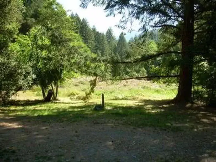 Chinquapin Group CampgroundCampingPhoto: Recreation.gov (RIDB) / public domain7.3 mi
Source: Roamze catalog (indexable pages within 10 miles, PostGIS distance)
- Eagle Alternative TrailHiking · ~10 min drivePhoto: scubamarketing, CC BY-SA 2.0 (via Flickr)
 No Name TrailHiking · ~18 min drivePhoto: James Wellington, CC BY 2.0 (via Flickr)
- Grayback Mountain TrailHiking · ~18 min drive
- Long Cut TrailHiking · ~10 min drivePhoto: scubamarketing, CC BY-SA 2.0 (via Flickr)
- Bolt Mountain TrailHiking · ~14 min drive
- Big Tree TrailHiking · ~19 min drive
- Mountain Top TrailHiking · ~11 min drivePhoto: scubamarketing, CC BY-SA 2.0 (via Flickr)
- Cave Creek TrailHiking · ~16 min drive
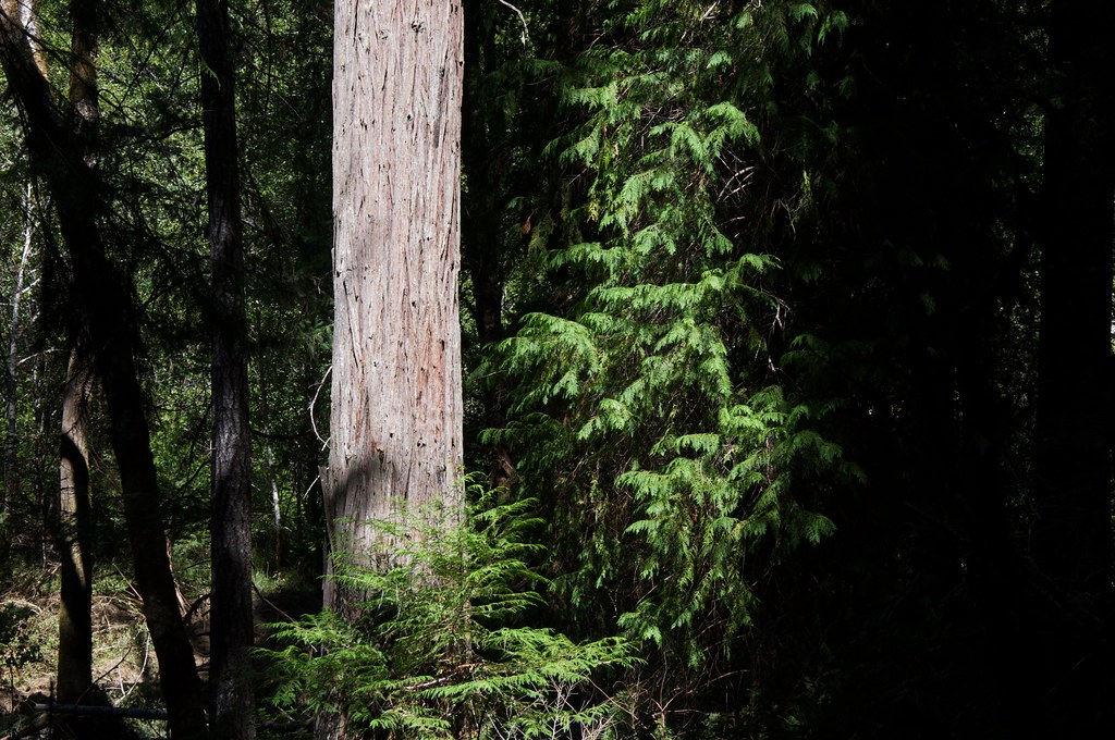 Grayback InterpretativeHiking · ~13 min drivePhoto: Sam Beebe, CC BY 2.0 (via Flickr)
- Lake MountainHiking · ~19 min drive
Route details
- Distance
- 3.2 mi round trip
- Climbing
- About 3,242 ft
- Starts at
- Kerby Peak Trailhead (about 2,938 ft)
- Summit
- 5,550 ft
- Difficulty
- Hard
- Time
- About 2.5 hours
Questions about this route
How long is the Kerby Peak on Kerby Peak?
About 3.2 mi round trip from Kerby Peak Trailhead (about 2,938 ft).
How much elevation gain is on the Kerby Peak?
About 3,242 ft of climbing round trip.
How hard is the Kerby Peak?
It is rated hard.
Where does the Kerby Peak start?
Kerby Peak Trailhead (about 2,938 ft).
How long does the Kerby Peak take?
About 2.5 hours round trip.
