Eagle Alternative Trail
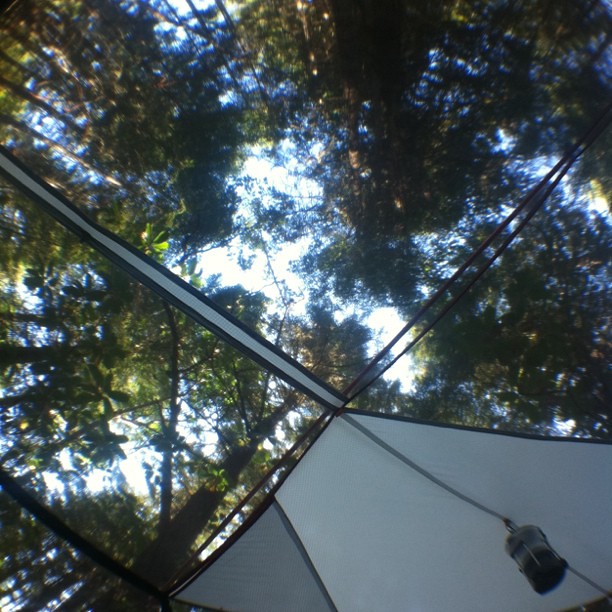 Photo: scubamarketing, CC BY-SA 2.0 (via Flickr)
- 0.4 mi
- round trip
- 202 ft
- climb
- 1,662 ft
- high point
- Out and back
- route
- Apr–Jun, Oct
- best months
Eagle Alternative Trail is a short, easy hike on Bureau of Land Management land in the Medford Grants Pass Field Office in southern Oregon. The trail is about 0.44 miles long, and the round trip adds up to roughly 0.88 miles with a total elevation gain of about 202 feet. It's a natural-surface route, and the out-and-back path reaches a high point of about 1,662 feet. Late spring and early fall are the most comfortable times to go. Typical averages from a nearby weather station in Cave Junction show May highs around 76°F and October highs around 72°F, while July and August average about 94°F. Mountain Top Trail is about half a mile away, and McMullin Creek offers canoeing about 0.9 miles off. River Bench Campground is about 9 miles away for an overnight stay.
Local outfitters
- Applegate Trail Rides16 mi away
- Huntfluent Guide Service18 mi away
Not on Roamze yet. Their page has how to reach them.
Best time to go · Apr–Jun, Oct
Best time to visit Eagle Alternative Trail
Best months: April–June and October. Best months have typical highs of 55–85 °F, lows of 30 °F or warmer (32 °F where the station doesn't record snow), at most one snowy day and no more than 12 wet days.
Jan
49° / 32°
17 wet · 1 snow
Feb
55° / 33°
15 wet · 1 snow
Mar
60° / 34°
16 wet · 1 snow
Apr
67° / 37°
12 wet
May
76° / 42°
8 wet
Jun
83° / 46°
4 wet
Jul
94° / 52°
2 wet
Aug
94° / 49°
1 wet
Sep
87° / 44°
3 wet
Oct
72° / 39°
8 wet
Nov
55° / 36°
15 wet
Dec
47° / 33°
18 wet · 1 snow
Typical high / low (°F) and days with rain or snow, 1991–2020. Measured at Cave Junction 1 Wnw, OR, 7.1 mi away at 1,377 ft. Source: NOAA NCEI U.S. Climate Normals 1991–2020.
Keep exploring — more trails worth the drive
Photo: scubamarketing, CC BY-SA 2.0 (via Flickr)Mountain Top Trail
Next door
Out-and-back summit trail with scenic peak views in Oregon.
 Photo: U.S. Forest Service- Pacific Northwest Region, Public domain (via Wikimedia Commons)
Babyfoot Lake Rim
~21 min drive
3.44-mile out-and-back trail at Babyfoot Lake Rim in Oregon.
Photo: U.S. Forest Service- Pacific Northwest Region, Public domain (via Wikimedia Commons)Emily Cabin
~22 min drive
9.00-mile out-and-back trail to Emily Cabin in Oregon with 1,119 ft gain.
HIKE
Kalmiopsis Rim Trail
~22 min drive
25.37-mile point-to-point trail in Oregon with 5,024 ft gain
 Photo: aspidoscelis, Public Domain Dedication (CC0) (via Flickr)
Little Illinois Falls Loop Trail
~9 min drive
0.66-mile loop with 184 ft gain and 214 ft loss at 1359 ft max elevation
 Photo: James Wellington, CC BY 2.0 (via Flickr)
No Name Trail
~23 min drive
1.48-mile out-and-back hike in Oregon with 1,342 ft elevation gain
 Photo: james shaw, CC BY-SA 3.0 (via Wikimedia Commons)
Fall Creek
~17 min drive
6.88-mile out-and-back trail in Oregon with 2,334 ft gain.
HIKE
Big Tree Trail
~24 min drive
3.37-mile out-and-back trail in Oregon with 899 ft gain.
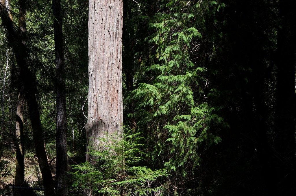 Photo: Sam Beebe, CC BY 2.0 (via Flickr)
Grayback Interpretative
~17 min drive
1.82-mile loop trail in Oregon with 137 ft elevation gain.
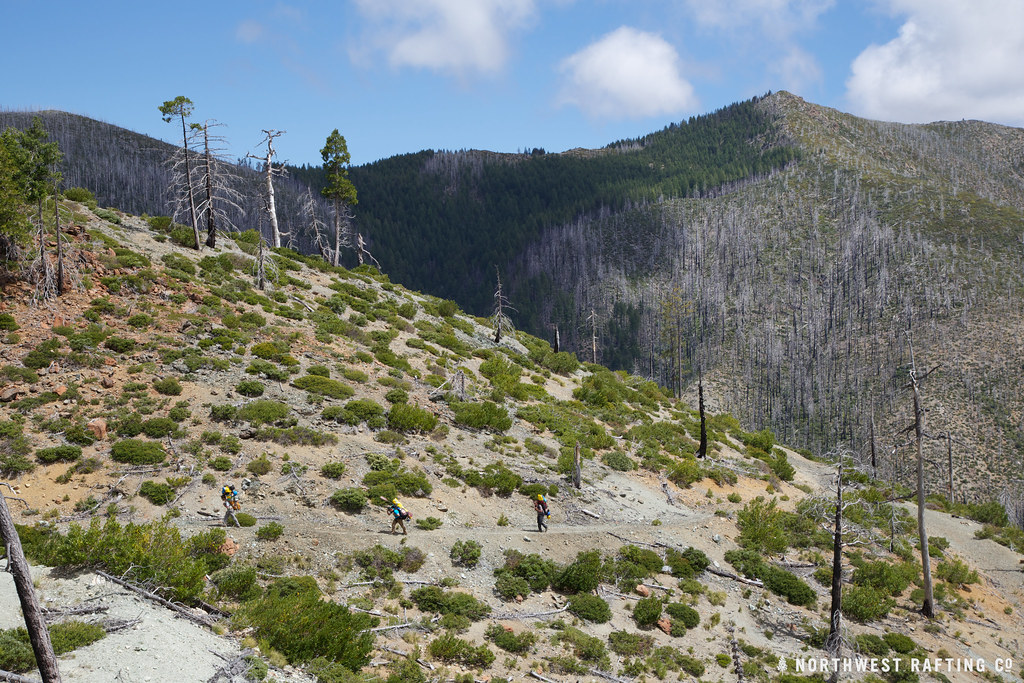 Photo: Northwest Rafting Company, CC BY 2.0 (via Flickr)
Bailey Cabin
~24 min drive
4-mile out-and-back trail to Bailey Cabin in Oregon with 1,020 ft elevation gain
