Applegate Trail Rides
Hiking business nearby (~11 mi away) — hasn't claimed their Roamze page yet
1.57-mile out-and-back hike in Oregon with 1,360 ft elevation gain.
Closure in the area
There's a closure order in Wild Rivers Ranger District. It doesn't name Cave Creek Trail, so check the source for the area it covers.
Illinois Falls Trail Bridge Closure
Agency closure covering Wild Rivers Ranger District · Order 06-10-22-25-02 · USFS · Wild Rivers Ranger District
Stage 2 Public Use Fire Restrictions (Wild and Scenic Lower Rogue River)
Agency alert covering Rogue River-Siskiyou National Forests · Order 06-10-01-26-06 · USFS · Rogue River-Siskiyou National Forests
Stage 2 Public Use Fire Restrictions (Forest-wide)
Agency alert covering Rogue River-Siskiyou National Forests · Order 06-10-01-26-03 · USFS · Rogue River-Siskiyou National Forests
Illinois River Road Seasonal Restrictions
Agency alert covering Wild Rivers Ranger District · Order 06-10-22-26-01 · USFS · Wild Rivers Ranger District
As of · Source: USFS · Wild Rivers Ranger District. Agencies don't list every closure — check before you go.
Best months: May–October. Best months have typical highs of 55–85 °F, lows of 30 °F or warmer (32 °F where the station doesn't record snow), at most one snowy day and no more than 12 wet days.
Jan
43° / 33°
16 wet
Feb
44° / 33°
15 wet
Mar
46° / 33°
16 wet
Apr
52° / 35°
14 wet
May
61° / 41°
10 wet
Jun
68° / 46°
6 wet
Jul
77° / 53°
2 wet
Aug
77° / 54°
2 wet
Sep
70° / 51°
4 wet
Oct
58° / 43°
9 wet
Nov
47° / 36°
15 wet
Dec
41° / 32°
16 wet
Typical high / low (°F) and days with rain or snow, 1991–2020. Measured at Sexton Summit, OR, 33.8 mi away at 3,832 ft. This station doesn't record snowfall. Source: NOAA NCEI U.S. Climate Normals 1991–2020.
Stage 2 Public Use Fire Restrictions (Forest-wide)
Rogue River-Siskiyou National Forests · Order dated September 4, 2026; seen Sep 3, 2026, no lift recorded · Forest Service
Stage 3 Public Use Fire Restrictions (Forest-wide)
Rogue River-Siskiyou National Forests · Order dated July 17, 2026; seen Aug 23, 2026 → lifted Sep 3, 2026 · Forest Service
Cave Creek Trail is a moderate out-and-back hike in Oregon's Rogue River-Siskiyou National Forests, within the Wild Rivers Ranger District and Oregon Caves National Monument and Preserve. The National Park Service manages the land, and the trailhead is named Cave Creek Trailhead. The route is about 3 miles long, with a total elevation gain of 1,361 feet. The climb starts at roughly 2,846 feet and reaches a high point of 3,742 feet. The steepest stretch comes early, around 0.44 miles in, with a grade of about 24 percent. The trail is rated moderate, and the round trip takes about 1.5 hours. Summer is the most comfortable time to go. Typical averages from a nearby weather station at Sexton Summit show July and August highs around 77°F with only about two wet days a month, while winter months bring highs in the low 40s and rain on more than half the days. Several other trails sit within about a mile and a half, including No Name Trail, Cliff Nature Trail and Cave Exit Trail. For an overnight stay, Chinquapin Group Campground is about 2.3 miles away.
 Photo: James Wellington, CC BY 2.0 (via Flickr)
No Name Trail
~3 min drive
1.48-mile out-and-back hike in Oregon with 1,342 ft elevation gain
Photo: James Wellington, CC BY 2.0 (via Flickr)Cliff Nature Trail
~3 min drive
0.49-mile loop with 494 ft gain in Oregon.
 Photo: Forest Service Pacific Northwest Region, Public Domain Mark (via Flickr)
Bolan Lake
~12 min drive
1.70-mile out-and-back trail to Bolan Lake in Oregon with 430 ft gain.
Big Tree Trail
~4 min drive
3.37-mile out-and-back trail in Oregon with 899 ft gain.
Photo: Forest Service Pacific Northwest Region, Public Domain Mark (via Flickr)Kings Saddle
~12 min drive
3.00-mile out-and-back trail in Oregon with 334 ft gain and 664 ft loss.
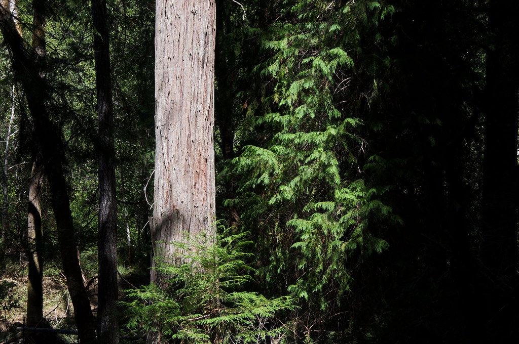 Photo: Sam Beebe, CC BY 2.0 (via Flickr)
Grayback Interpretative
~4 min drive
1.82-mile loop trail in Oregon with 137 ft elevation gain.
 Photo: Curt Kline, CC BY 3.0 (via Wikimedia Commons)
Mountain View Mine Trail
~19 min drive
6.06-mile out-and-back hike in Oregon with 3,933 ft elevation gain and loss.
Grayback Mountain Trail
~14 min drive
8.31-mile out-and-back hike in Oregon with 4,536 ft elevation gain.
Lake Mountain/Bigelow Lakes Trail
~5 min drive
3.12-mile out-and-back hike in Oregon with 1,761 ft elevation gain and loss.
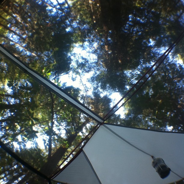 Photo: scubamarketing, CC BY-SA 2.0 (via Flickr)
Long Cut Trail
~21 min drive
0.44-mile lollipop trail in Oregon with 46 ft gain and 270 ft loss.
Outfitters and businesses. They haven’t set up their Roamze page yet.
Applegate Trail Rides
Hiking business nearby (~11 mi away) — hasn't claimed their Roamze page yet
Huntfluent Guide Service
Hiking business nearby (~23 mi away) — hasn't claimed their Roamze page yet
Ashland Family YMCA
Hiking business nearby (~37 mi away) — hasn't claimed their Roamze page yet
