Crater Rim Trail #3957
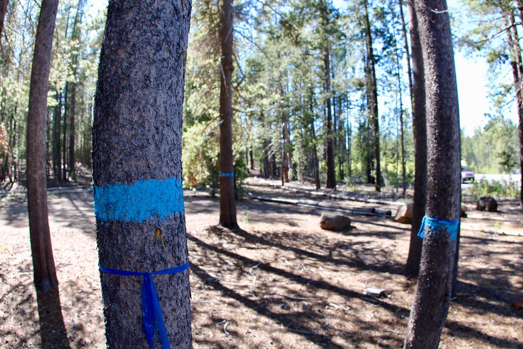
 Photo: Ken Lund from Reno, Nevada, USA, CC BY-SA 2.0 (via Wikimedia Commons)
- 11.2 mi
- round trip
- 2,814 ft
- climb
- 7,595 ft
- high point
- Out and back
- route
Is Crater Rim Trail #3957 open right now?
Closure in the area
There's a closure order in Deschutes National Forest. It doesn't name Crater Rim Trail #3957, so check the source for the area it covers (3 listed).
West Bend Area Trail Closures
Agency closure covering Deschutes National Forest · USFS · Deschutes National Forest
West Bend IRSC- Area, Road and Trail Closure
Agency closure covering Bend/Fort Rock Ranger District · Order 06-01-01-26-03 · USFS · Bend/Fort Rock Ranger District
Cabin Butte Area Closure
Agency closure covering Bend/Fort Rock Ranger District · Order 06-01-01-26-01 · USFS · Bend/Fort Rock Ranger District
Camping & Campfire Restrictions Forest Order
Agency alert covering Deschutes National Forest · Order 06-01-26-01 · USFS · Deschutes National Forest
Cave Resource Protection Forest Order
Agency alert covering Deschutes National Forest · Order 06-01-26-02 · USFS · Deschutes National Forest
As of · Source: USFS · Deschutes National Forest. Agencies don't list every closure — check before you go.
Crater Rim Trail #3957 is an expert-level out-and-back hike in the Bend/Fort Rock Ranger District of Deschutes National Forest in Oregon, managed by the Forest Service. The trail is about 11 miles long, with a total round-trip climb of roughly 2,800 feet. The route starts at about 6,350 feet and reaches a high point of about 7,600 feet, and the steepest stretch comes around the 5.2-mile mark, where the grade reaches about 13%. The trail sits among several other destinations. The Paulina Lakeshore Loop, the Peter Skene Ogden Trail #3956 and the Newberry Crater Trail all lie within about a tenth of a mile. Paulina Lake campground is about 0.2 miles away.
Local outfitters
- Wanderlust Tours22 mi away
- Paradise Birding23 mi away
Not on Roamze yet. Their page has how to reach them.
 Paulina Lakeshore LoopHikingPhoto: Nwcamera1, CC BY-SA 3.0 (via Wikimedia Commons)0.1 mi
 Peter Skene Ogden Trail #3956HikingPhoto: Ken Lund from Reno, Nevada, USA, CC BY-SA 2.0 (via Wikimedia Commons)0.1 mi
- Ponderosa RimCross-country skiing0.1 mi
- Newberry Crater TrailHikingPhoto: Nwcamera1, CC BY-SA 3.0 (via Wikimedia Commons)0.1 mi
 Paulina LakeCampingPhoto: wetfeet2000 — CC BY-SA 2.0 (via Flickr)0.2 mi
- Newberry GroupCamping1.2 mi
- Little CraterCamping1.7 mi
- East LakeCamping3.4 mi
Source: Roamze catalog (indexable pages within 10 miles, PostGIS distance)
- Paulina Lakeshore LoopHiking · Next doorPhoto: Nwcamera1, CC BY-SA 3.0 (via Wikimedia Commons)
- Peter Skene Ogden Trail #3956Hiking · Next doorPhoto: Ken Lund from Reno, Nevada, USA, CC BY-SA 2.0 (via Wikimedia Commons)
- Newberry Crater TrailHiking · Next doorPhoto: Nwcamera1, CC BY-SA 3.0 (via Wikimedia Commons)
 Crater Rim Trail 3957Hiking · ~8 min drivePhoto: U.S. Forest Service- Pacific Northwest Region, Public domain (via Wikimedia Commons)
 Paulina FallsHiking · Next doorPhoto: Bonnie Moreland (free images), Public Domain Mark (via Flickr)
- PAULINA LAKESHORE LOOPHiking · ~1 min drivePhoto: Nwcamera1, CC BY-SA 3.0 (via Wikimedia Commons)
 Paulina Lakeshore Trail #3955Hiking · ~3 min drivePhoto: daveynin, CC BY 2.0 (via Flickr)
 Crater RimHiking · ~1 min drivePhoto: daveynin, CC BY 2.0 (via Flickr)
- Little Crater LoopHiking · ~3 min drivePhoto: Ken Lund from Reno, Nevada, USA, CC BY-SA 2.0 (via Wikimedia Commons)
 Sun-LavaHiking · ~24 min drivePhoto: Forest Service Pacific Northwest Region, Public Domain Mark (via Flickr)

Map and trail data © OpenStreetMap contributors
