Paulina Lakeshore Loop
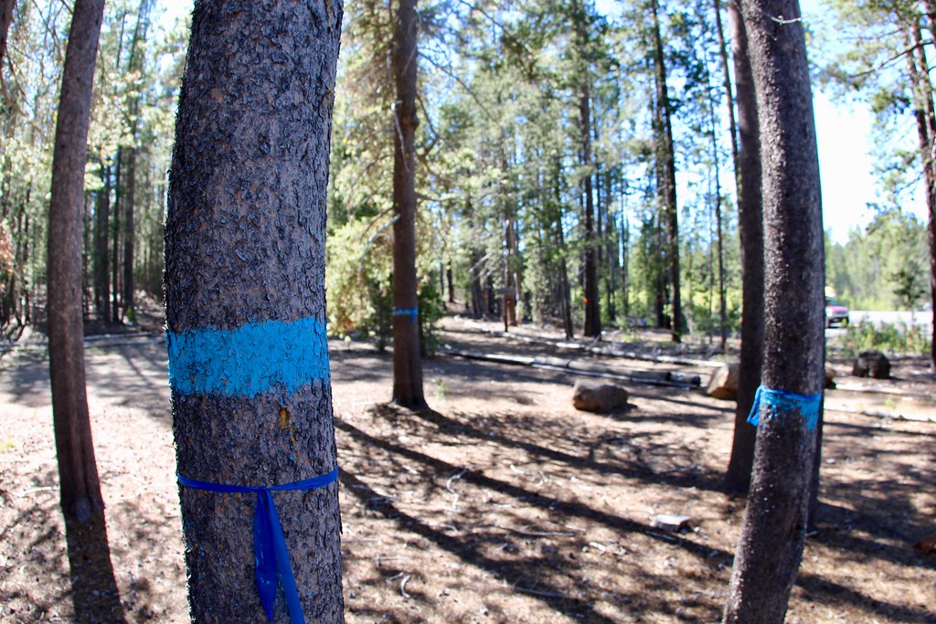
 Photo: Nwcamera1, CC BY-SA 3.0 (via Wikimedia Commons)
- 2.8 mi
- round trip
- 2,178 ft
- climb
- 6,496 ft
- high point
- Out and back
- route
Is PAULINA LAKESHORE LOOP open right now?
Closure in the area
There's a closure order in Deschutes National Forest. It doesn't name PAULINA LAKESHORE LOOP, so check the source for the area it covers (3 listed).
West Bend Area Trail Closures
Agency closure covering Deschutes National Forest · USFS · Deschutes National Forest
West Bend IRSC- Area, Road and Trail Closure
Agency closure covering Bend/Fort Rock Ranger District · Order 06-01-01-26-03 · USFS · Bend/Fort Rock Ranger District
Cabin Butte Area Closure
Agency closure covering Bend/Fort Rock Ranger District · Order 06-01-01-26-01 · USFS · Bend/Fort Rock Ranger District
Camping & Campfire Restrictions Forest Order
Agency alert covering Deschutes National Forest · Order 06-01-26-01 · USFS · Deschutes National Forest
Cave Resource Protection Forest Order
Agency alert covering Deschutes National Forest · Order 06-01-26-02 · USFS · Deschutes National Forest
As of · Source: USFS · Deschutes National Forest. Agencies don't list every closure — check before you go.
Paulina Lakeshore Loop is a 2.8-mile moderate hike in Oregon's Deschutes National Forest, within the Bend/Fort Rock Ranger District. The trail is an out-and-back that climbs about 1,073 feet one way, with the high point at 6,496 feet and the low at 6,332 feet. The full round trip covers about 5.6 miles and gains and loses roughly 2,178 feet. The steepest stretch comes at about 1.5 miles, where the grade reaches 14 percent. The trip takes about three hours, and the Forest Service manages the land. The loop sits close to several other destinations. Paulina Lake campground is about 0.9 miles away, and the Peter Skene Ogden Trail #3956 and Crater Rim Trail #3957 both lie about 0.7 miles off. Newberry Group campground is about 1.6 miles away.
Local outfitters
- Wanderlust Tours22 mi away
- Paradise Birding23 mi away
Not on Roamze yet. Their page has how to reach them.
 Peter Skene Ogden Trail #3956HikingPhoto: Ken Lund from Reno, Nevada, USA, CC BY-SA 2.0 (via Wikimedia Commons)0.7 mi
 Crater Rim Trail #3957HikingPhoto: Ken Lund from Reno, Nevada, USA, CC BY-SA 2.0 (via Wikimedia Commons)0.7 mi
- Ponderosa RimCross-country skiing0.8 mi
- Newberry Crater TrailHikingPhoto: Nwcamera1, CC BY-SA 3.0 (via Wikimedia Commons)0.8 mi
 Paulina LakeCampingPhoto: wetfeet2000 — CC BY-SA 2.0 (via Flickr)0.9 mi
- Newberry GroupCamping1.6 mi
- Little CraterCamping1.8 mi
- East LakeCamping3.2 mi
Source: Roamze catalog (indexable pages within 10 miles, PostGIS distance)
- Paulina Lakeshore LoopHiking · ~1 min drivePhoto: Nwcamera1, CC BY-SA 3.0 (via Wikimedia Commons)
- Crater Rim Trail #3957Hiking · ~1 min drivePhoto: Ken Lund from Reno, Nevada, USA, CC BY-SA 2.0 (via Wikimedia Commons)
 Paulina Lakeshore Trail #3955Hiking · ~3 min drivePhoto: daveynin, CC BY 2.0 (via Flickr)
- Paulina Lakeshore Trail #3955Hiking · ~3 min drivePhoto: Ken Lund from Reno, Nevada, USA, CC BY-SA 2.0 (via Wikimedia Commons)
 Paulina FallsHiking · ~2 min drivePhoto: Bonnie Moreland (free images), Public Domain Mark (via Flickr)
 Crater Rim Trail 3957Hiking · ~8 min drivePhoto: U.S. Forest Service- Pacific Northwest Region, Public domain (via Wikimedia Commons)
 Sun-LavaHiking · ~23 min drivePhoto: Forest Service Pacific Northwest Region, Public Domain Mark (via Flickr)
 Lost LakeHiking · ~5 min drivePhoto: U.S. Forest Service- Pacific Northwest Region, Public domain (via Wikimedia Commons)
 Crater RimHiking · ~3 min drivePhoto: daveynin, CC BY 2.0 (via Flickr)
- Newberry Crater TrailHiking · ~1 min drivePhoto: Nwcamera1, CC BY-SA 3.0 (via Wikimedia Commons)
Also worth it near here

