Sun-Lava
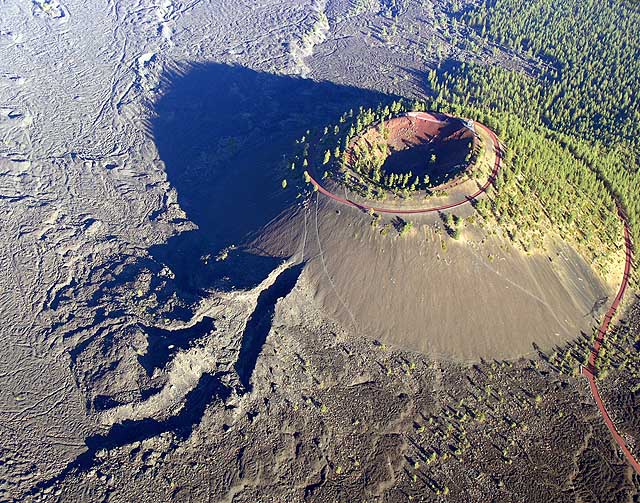
 Photo: Forest Service Pacific Northwest Region, Public Domain Mark (via Flickr)
- 7.2 mi
- round trip
- 683 ft
- climb
- 4,501 ft
- high point
- Out and back
- route
- May–Sep
- best months
Is Sun-Lava open right now?
Closure in the area
There's a closure order in Deschutes National Forest. It doesn't name Sun-Lava, so check the source for the area it covers (3 listed).
West Bend Area Trail Closures
Agency closure covering Deschutes National Forest · USFS · Deschutes National Forest
West Bend IRSC- Area, Road and Trail Closure
Agency closure covering Bend/Fort Rock Ranger District · Order 06-01-01-26-03 · USFS · Bend/Fort Rock Ranger District
Cabin Butte Area Closure
Agency closure covering Bend/Fort Rock Ranger District · Order 06-01-01-26-01 · USFS · Bend/Fort Rock Ranger District
Camping & Campfire Restrictions Forest Order
Agency alert covering Deschutes National Forest · Order 06-01-26-01 · USFS · Deschutes National Forest
Cave Resource Protection Forest Order
Agency alert covering Deschutes National Forest · Order 06-01-26-02 · USFS · Deschutes National Forest
As of · Source: USFS · Deschutes National Forest. Agencies don't list every closure — check before you go.
Sun-Lava is a 7.2-mile out-and-back hike on a paved trail in the Bend/Fort Rock Ranger District of Oregon's Deschutes National Forest, about 2.9 miles from the Sunriver weather station. The trail is accessible and allows bikes, and it is rated hard. The route climbs from 4,202 feet to 4,501 feet, with a total gain and loss of 683 feet each way, and the steepest stretch comes at about 0.4 miles in, with a grade of about 5 percent. Summer is the most comfortable time to go. Typical averages from the nearby Sunriver station put July highs around 84°F and lows near 41°F. Winter highs there typically sit in the low 40s, and January lows average around 20°F. The trip is estimated to take about 2.5 hours. It is open year-round, and the trail runs close to several other hikes, including Blackrock and the Trail of the Molten Land, which are each about 0.1 mile away. For climbing, Meadow Camp is about 6.4 miles off, and the Big River campground is about 9.4 miles away.
Local outfitters
- Wanderlust Tours9 mi away
- Paradise Birding10 mi away
Not on Roamze yet. Their page has how to reach them.
Best time to go · May–Sep
Best time to visit Sun-Lava
Best months: May–September. Best months have typical highs of 55–85 °F, lows of 30 °F or warmer (32 °F where the station doesn't record snow), at most one snowy day and no more than 12 wet days.
Jan
40° / 20°
Feb
43° / 21°
Mar
50° / 24°
Apr
57° / 25°
May
65° / 33°
Jun
72° / 37°
Jul
84° / 41°
Aug
83° / 40°
Sep
76° / 34°
Oct
62° / 28°
Nov
46° / 24°
Dec
37° / 19°
Typical high / low (°F) and days with rain or snow, 1991–2020. Measured at Sunriver, OR, 2.9 mi away at 4,180 ft. This station doesn't record snowfall. Source: NOAA NCEI U.S. Climate Normals 1991–2020.
Keep exploring — more trails worth the drive
Photo: Forest Service Pacific Northwest Region, Public Domain Mark (via Flickr)Black Rock #3935
Next door
4.12-mile out-and-back trail in Oregon with 166 ft elevation gain.
 Photo: daveynin, CC BY 2.0 (via Flickr)
Lava Butte Rim
Next door
0.34-mile loop trail at Lava Butte Rim in Oregon with 80 ft of elevation gain.
 Photo: U.S. Forest Service- Pacific Northwest Region, Public domain (via Wikimedia Commons)
Benham Falls Overlook
~6 min drive
0.31-mile out-and-back trail to Benham Falls overlook in Oregon.
 Photo: Nicolás Boullosa from Fontainebleau, France, CC BY 2.0 (via Wikimedia Commons)
Roundabout
~8 min drive
6.70-mile out-and-back trail in Oregon with 377 ft elevation gain.
HIKE
Swamp Wells Trail Number 61
~10 min drive
30.62-mile out-and-back trail in Oregon with 2,761 ft elevation gain/loss.
Photo: Nicolás Boullosa from Fontainebleau, France, CC BY 2.0 (via Wikimedia Commons)Deschutes River Trail
~7 min drive
5.16-mile out-and-back along the Deschutes River in Oregon.
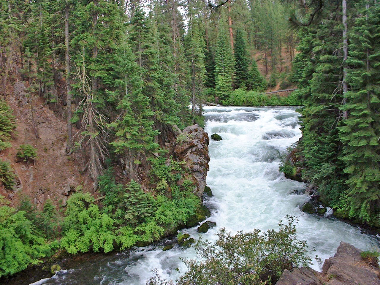
 Photo: Forest Service Pacific Northwest Region, Public Domain Mark (via Flickr)
Deschutes River Trail
~7 min drive
2.12-mile lollipop trail along the Deschutes River in Oregon
Photo: U.S. Forest Service- Pacific Northwest Region, Public domain (via Wikimedia Commons)Tylers's
~9 min drive
13.20-mile out-and-back trail in Oregon with 1,582 ft gain
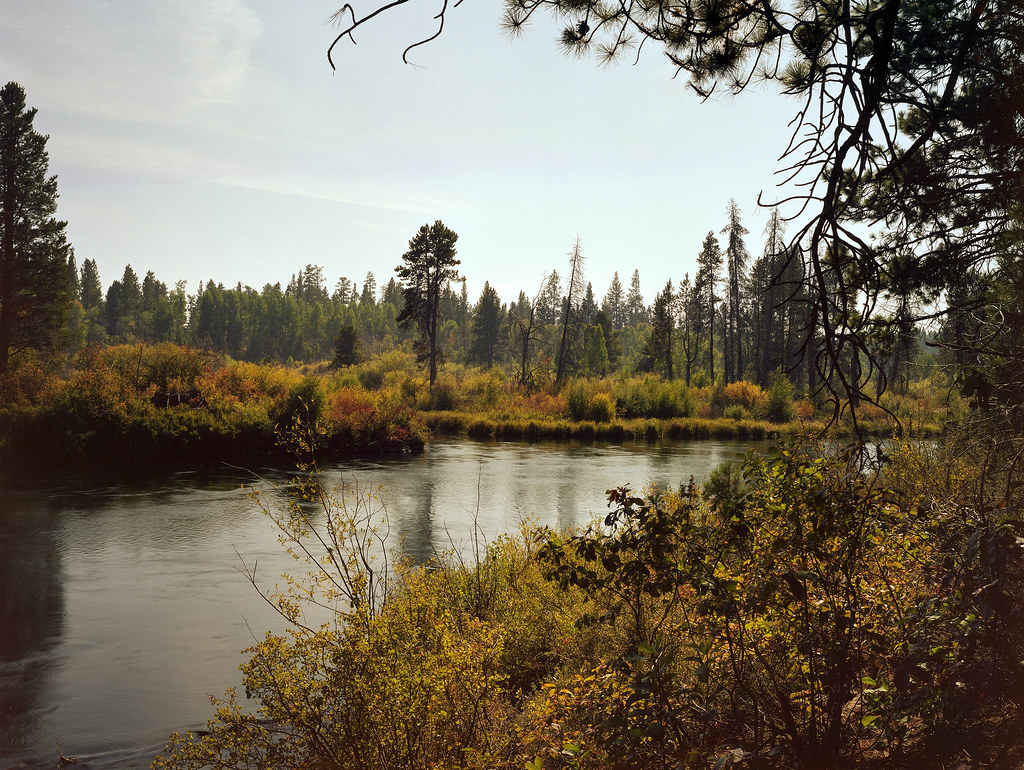 Photo: Kayaker Bill, CC BY 2.0 (via Flickr)
Deschutes River Trail
~9 min drive
2.64-mile out-and-back trail on the Deschutes River in Oregon with 1,165 ft of elevation gain.
 Photo: Bonnie Moreland (free images), Public Domain Mark (via Flickr)
Deschutes River Mtn. Bike
~8 min drive
6.04-mile out-and-back trail along the Deschutes River in Oregon.