Crater Rim
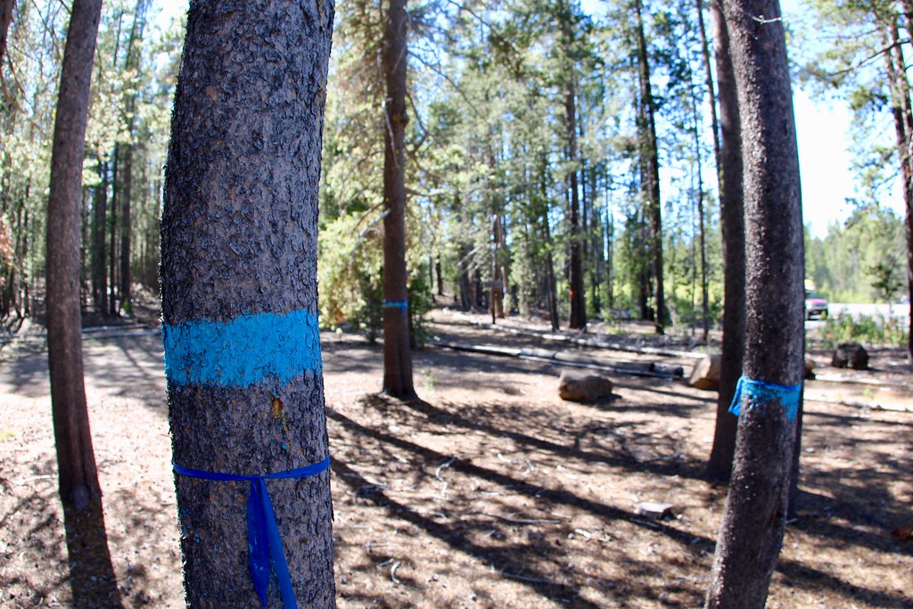 Photo: daveynin, CC BY 2.0 (via Flickr)
- 2.0 mi
- round trip
- 394 ft
- climb
- 6,525 ft
- high point
- Out and back
- route
Is Crater Rim open right now?
Closure in the area
There's a closure order in Deschutes National Forest. It doesn't name Crater Rim, so check the source for the area it covers (3 listed).
West Bend Area Trail Closures
Agency closure covering Deschutes National Forest · USFS · Deschutes National Forest
West Bend IRSC- Area, Road and Trail Closure
Agency closure covering Bend/Fort Rock Ranger District · Order 06-01-01-26-03 · USFS · Bend/Fort Rock Ranger District
Cabin Butte Area Closure
Agency closure covering Bend/Fort Rock Ranger District · Order 06-01-01-26-01 · USFS · Bend/Fort Rock Ranger District
Camping & Campfire Restrictions Forest Order
Agency alert covering Deschutes National Forest · Order 06-01-26-01 · USFS · Deschutes National Forest
Cave Resource Protection Forest Order
Agency alert covering Deschutes National Forest · Order 06-01-26-02 · USFS · Deschutes National Forest
As of · Source: USFS · Deschutes National Forest. Agencies don't list every closure — check before you go.
Crater Rim is an easy out-and-back hike of about 2 miles in Oregon's Deschutes National Forest, within the Bend/Fort Rock Ranger District. It is a short walk with a one-way climb of about 170 feet, and the round trip gains and losses total about 400 feet. The steepest part comes near the start, about 0.4 miles in, with a grade of roughly 7 percent. The trail sits at an elevation of about 6,300 feet at its lowest point, rising to about 6,525 feet at the top. It makes a natural pairing with other outings in the area, and the Forest Service manages the land. Several other destinations lie within a mile. Paulina Falls and the Newberry Crater Trail are both about 0.7 miles away. Paulina Lake campground is about 0.7 miles off, and Paulina Nordic Loop is about 0.6 miles away.
Local outfitters
- Wanderlust Tours23 mi away
- Paradise Birding24 mi away
Not on Roamze yet. Their page has how to reach them.
Keep exploring — more trails worth the drive
 Photo: Ken Lund from Reno, Nevada, USA, CC BY-SA 2.0 (via Wikimedia Commons)
Crater Rim Trail #3957
~1 min drive
22.3-mile out-and-back trail in Oregon with 2,814 ft gain/loss.
 Photo: Nwcamera1, CC BY-SA 3.0 (via Wikimedia Commons)
Paulina Lakeshore Loop
~1 min drive
1.60-mile out-and-back trail at Paulina Lakeshore Loop in Oregon.
 Photo: Ken Lund from Reno, Nevada, USA, CC BY-SA 2.0 (via Wikimedia Commons)
Paulina Lakeshore Trail #3955
~3 min drive
4.08-mile out-and-back hike with 1,281 ft elevation gain and loss in Oregon.
 Photo: Forest Service Pacific Northwest Region, Public Domain Mark (via Flickr)
Sun-Lava
~26 min drive
7.20-mile out-and-back trail in Oregon with 102 ft elevation gain.
 Photo: U.S. Forest Service- Pacific Northwest Region, Public domain (via Wikimedia Commons)
Crater Rim Trail 3957
~8 min drive
9.16-mile out-and-back trail in Oregon with 1,471 ft gain.
 Photo: Forest Service Pacific Northwest Region, Public Domain Mark (via Flickr)
Paulina Peak
~2 min drive
0.50-mile out-and-back to Paulina Peak in Oregon with 74 ft gain.
Photo: Ken Lund from Reno, Nevada, USA, CC BY-SA 2.0 (via Wikimedia Commons)Little Crater Loop
~3 min drive
3-mile loop trail in Oregon with 659 ft elevation gain.
Photo: Forest Service Pacific Northwest Region, Public Domain Mark (via Flickr)Blackrock
~26 min drive
9.90-mile out-and-back trail in Oregon with 172 ft gain
Photo: Ken Lund from Reno, Nevada, USA, CC BY-SA 2.0 (via Wikimedia Commons)Silica
~3 min drive
1.09-mile out-and-back trail in Oregon with 76 ft of elevation gain.
Photo: Nwcamera1, CC BY-SA 3.0 (via Wikimedia Commons)PAULINA LAKESHORE LOOP
~3 min drive
5.64-mile out-and-back out-and-back around Paulina Lake in Oregon with 2,178 ft elevation gain.


