Burgess Island
Campground
Campground · 6.4 mi from the trail
Clear today
Weather is good · OpenWeather · checked 8 h ago
The Susan Bachner Memorial Trail is a 1.9-mile hike in New York, about 2 miles from the town of Whitehall. It is an easy route with a total elevation gain of 690 feet, rising from a low point of 132 feet to a high of 481 feet. The steepest stretch comes at about 0.58 miles in, where the grade reaches 19 percent. Late spring and early fall are the most comfortable times to go. Typical averages from a nearby weather station in Whitehall show May highs around 71°F and September highs around 74°F, with July the warmest month at about 83°F. That station sits well below the trail, so temperatures on the higher ground run cooler. The hike takes about an hour. The Connector Trail starts half a mile away, and Tim's Trail is about 1.3 miles off. Farther out, the Champlain Valley Trail (Comstock to Whitehall) lies about 3.5 miles away, and the Sleeping Beauty Mountain climbing area is roughly 6.8 miles away.
Burgess Island
Campground
Champs Corner Pub and Grill
Bar and grill restaurant
Town of Horicon Museum
Museum
Places © OpenStreetMap contributors, Places © Overture Maps Foundation
More in Schroon LakeNot on Roamze yet. Their page has how to reach them.
Source: Roamze catalog (indexable pages within 10 miles, PostGIS distance)
 Elephant Mountain pathHiking · ~10 min drivePhoto: wboykinm, CC BY-SA 2.0 (via Flickr)
 Millman Pond TrailHiking · ~10 min drivePhoto: ke9tv, CC BY-SA 2.0 (via Flickr)
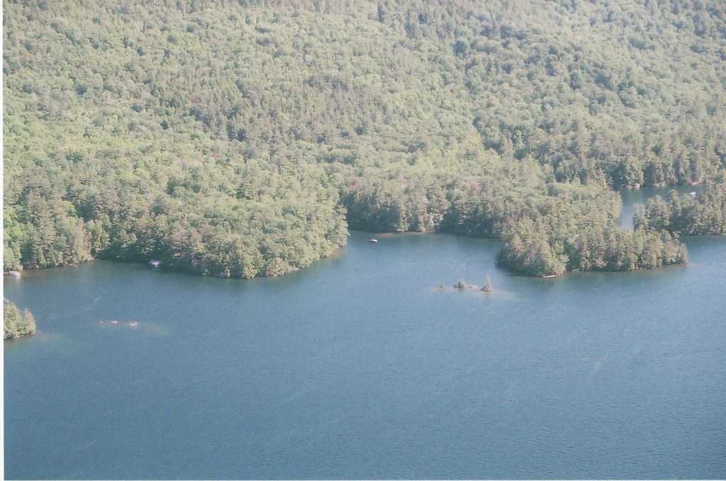 Lakeside TrailHiking · ~13 min drivePhoto: sdunigan518, CC BY 2.0 (via Flickr)Sleeping Beauty TrailHiking · ~12 min drivePhoto: ke9tv, CC BY-SA 2.0 (via Flickr)Erebus South Slope TrailHiking · ~12 min drivePhoto: ke9tv, CC BY-SA 2.0 (via Flickr)Black Mountain Point TrailHiking · ~13 min drivePhoto: sdunigan518, CC BY 2.0 (via Flickr)
 Northwest Bay TrailHiking · ~18 min drivePhoto: philipmatarese, CC BY 2.0 (via Flickr)Fishbrook Pond-Lake George TrailHiking · ~13 min drivePhoto: sdunigan518, CC BY 2.0 (via Flickr)
Best months: April and June–October. Best months have typical highs of 55–85 °F, lows of 30 °F or warmer (32 °F where the station doesn't record snow), at most one snowy day and no more than 12 wet days.
Jan
30° / 12°
11 wet
Feb
34° / 12°
9 wet
Mar
43° / 22°
10 wet
Apr
58° / 35°
11 wet
May
71° / 47°
13 wet
Jun
79° / 56°
12 wet
Jul
83° / 61°
12 wet
Aug
82° / 60°
11 wet
Sep
74° / 52°
10 wet
Oct
61° / 41°
12 wet
Nov
47° / 31°
11 wet
Dec
35° / 21°
12 wet
Typical high / low (°F) and days with rain or snow, 1991–2020. Measured at Whitehall, NY, 2 mi away at 119 ft. This station doesn't record snowfall. Source: NOAA NCEI U.S. Climate Normals 1991–2020.
Map and trail data © OpenStreetMap contributors
