Southwestern Ct. Girl Scouts Council-Camp Topside
Campground
Campground · 7.1 mi from the trail
Sterling Farm Trail (Red) is a short, easy hike on Putnam County Land Trust land in New York, about half a mile from the start to the turnaround. The trail is an out-and-back that gains about 825 feet of elevation over a 1.2-mile round trip, with the high point at 795 feet and the low at 558 feet. The steepest stretch comes early on, with a 17% grade at about 0.11 miles in. Summer is the most comfortable time to go. Typical averages from a nearby weather station at Carmel put July highs around 78°F with lows near 61°F, and September cools to about 70°F by day. The Cliff Trail is just 0.3 miles away, and the Moby Area and Mercury Area climbing areas sit within about 2.5 miles. The Highlands Trail is roughly 2.9 miles off.
Southwestern Ct. Girl Scouts Council-Camp Topside
Campground
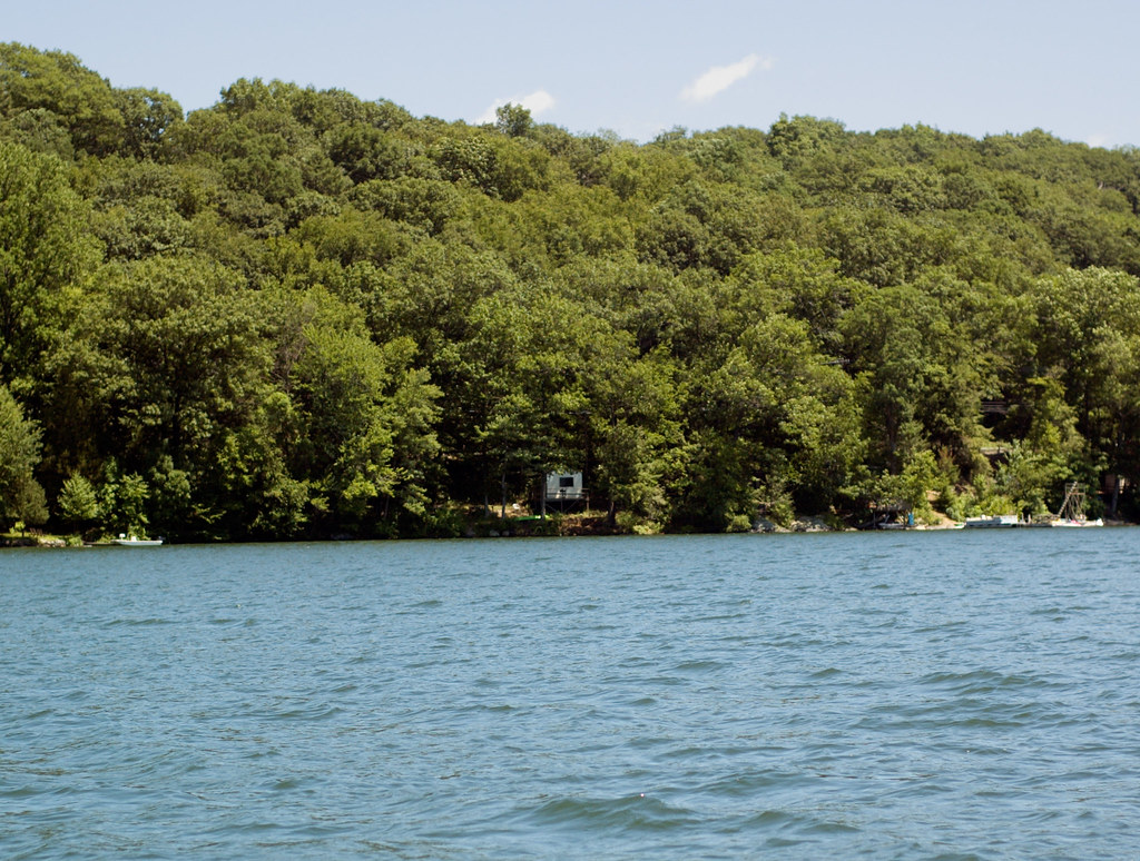
 If it rainsⱮ, CC BY-SA 4.0 · Wikimedia Commons
Places © OpenStreetMap contributors, Places © Overture Maps Foundation · Photos: Ɱ, CC BY-SA 4.0 (commons)
More in Mount KiscoDaily highs and lows, wind and the chance of precipitation at the summit and route start for the next 7 days, from the Open-Meteo model.
 Still RiverCanoeingPhoto: Pedro Xing, CC0 (via Wikimedia Commons)9.1 mi
Source: Roamze catalog (indexable pages within 10 miles, PostGIS distance)
 Bare HillHiking · ~5 min drivePhoto: johnaac, CC BY 3.0 (via Wikimedia Commons)Yellow TrailHiking · ~6 min drivePhoto: johnaac, CC BY 3.0 (via Wikimedia Commons)
 Leaf TrailHiking · ~10 min drivePhoto: eml23, CC BY 4.0 (via Wikimedia Commons)
 Pootatuck Forest TrailHiking · ~9 min drivePhoto: CarbonNYC [in SF!], CC BY 2.0 (via Flickr)Squirrel TrailHiking · ~10 min drivePhoto: eml23, CC BY 4.0 (via Wikimedia Commons)
 Yellow TrailHiking · ~15 min drivePhoto: OblongLandConservancy, CC BY 2.0 (via Flickr)
 Silo TrailHiking · ~16 min drivePhoto: H. Morrow Long, CC BY-SA 3.0 (via Wikimedia Commons)
Best months: July–October. Best months have typical highs of 55–85 °F, lows of 30 °F or warmer (32 °F where the station doesn't record snow), at most one snowy day and no more than 12 wet days.
Jan
33° / 16°
13 wet
Feb
36° / 19°
11 wet
Mar
44° / 26°
12 wet
Apr
57° / 37°
13 wet
May
66° / 47°
15 wet
Jun
73° / 56°
13 wet
Jul
78° / 61°
12 wet
Aug
76° / 60°
11 wet
Sep
70° / 53°
10 wet
Oct
60° / 41°
12 wet
Nov
49° / 32°
11 wet
Dec
39° / 23°
13 wet
Typical high / low (°F) and days with rain or snow, 1991–2020. Measured at Carmel 4n, NY, 3.1 mi away at 680 ft. This station doesn't record snowfall. Source: NOAA NCEI U.S. Climate Normals 1991–2020.
About 0.6 mi round trip.
About 825 ft of climbing round trip.
It is rated easy.
About 0 hours round trip.
2: Sterling Farm Trail (Red) and Cliff Trail.
Map and trail data © OpenStreetMap contributors

