AT Thruhiker camping
Campground
Campground · 9.3 mi from the trail
Highlands Trail is a 3.6-mile point-to-point hike in Wonder Lake State Park in New York, managed by State Park and Recreation. The route rises from about 992 feet to a high point of 1,041 feet, with a total elevation gain of 483 feet. The steepest stretch comes at about 1.4 miles in, where the grade reaches 37 percent. Summer is the most comfortable time to go. Typical averages from a nearby weather station show July highs around 78°F with lows near 61°F, and September cools to highs around 70°F. That station sits about 360 feet lower than the trail's high point, so temperatures on the higher ground run cooler. The hike takes about 1.5 hours. The Blue Trail starts just 0.1 mile away, and the Yellow Trail and Bare Hill are each about 0.9 mile off. Paddlers can reach the East Branch Croton River about 2.9 miles away.
AT Thruhiker camping
Campground
 If it rainsRolf Müller ( User:Rolfmueller ), CC BY-SA 3.0 · Wikimedia Commons
Places © OpenStreetMap contributors · Photos: Rolf Müller ( User:Rolfmueller ), CC BY-SA 3.0 (commons)
More in New Windsor Yellow TrailHikingPhoto: johnaac, CC BY 3.0 (via Wikimedia Commons)0.9 miBare HillHikingPhoto: johnaac, CC BY 3.0 (via Wikimedia Commons)0.9 mi
 Fishkill CreekCanoeingPhoto: Daniel Case, CC BY-SA 3.0 (via Wikimedia Commons)8.9 mi
Source: Roamze catalog (indexable pages within 10 miles, PostGIS distance)
Yellow TrailHiking · ~2 min drivePhoto: johnaac, CC BY 3.0 (via Wikimedia Commons)Bare HillHiking · ~2 min drivePhoto: johnaac, CC BY 3.0 (via Wikimedia Commons)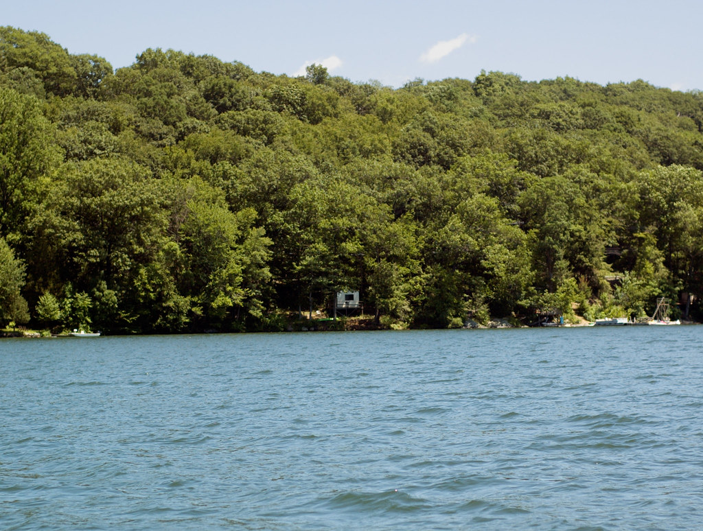 Pootatuck Forest TrailHiking · ~13 min drivePhoto: CarbonNYC [in SF!], CC BY 2.0 (via Flickr)
 Leaf TrailHiking · ~9 min drivePhoto: eml23, CC BY 4.0 (via Wikimedia Commons)
 Yellow TrailHiking · ~15 min drivePhoto: OblongLandConservancy, CC BY 2.0 (via Flickr)Squirrel TrailHiking · ~10 min drivePhoto: eml23, CC BY 4.0 (via Wikimedia Commons)
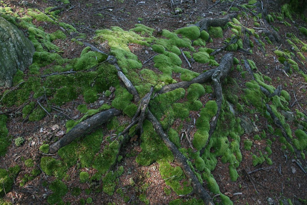 Roaring Brook TrailHiking · ~17 min drivePhoto: PBoGS, CC BY-SA 2.0 (via Flickr)
Best months: July–October. Best months have typical highs of 55–85 °F, lows of 30 °F or warmer (32 °F where the station doesn't record snow), at most one snowy day and no more than 12 wet days.
Jan
33° / 16°
13 wet
Feb
36° / 19°
11 wet
Mar
44° / 26°
12 wet
Apr
57° / 37°
13 wet
May
66° / 47°
15 wet
Jun
73° / 56°
13 wet
Jul
78° / 61°
12 wet
Aug
76° / 60°
11 wet
Sep
70° / 53°
10 wet
Oct
60° / 41°
12 wet
Nov
49° / 32°
11 wet
Dec
39° / 23°
13 wet
Typical high / low (°F) and days with rain or snow, 1991–2020. Measured at Carmel 4n, NY, 2.1 mi away at 680 ft. This station doesn't record snowfall. Source: NOAA NCEI U.S. Climate Normals 1991–2020.
Map and trail data © OpenStreetMap contributors

