AT Thruhiker camping
Campground
Campground · 8.6 mi from the trail
 Photo: johnaac, CC BY 3.0 (via Wikimedia Commons)
Bare Hill is a short, easy hike in Wonder Lake State Park in New York, about half a mile long and managed by State Park and Recreation. The route starts at an elevation of about 940 feet and reaches a high point of about 1,050 feet, with a total climb of roughly 150 feet. The steepest stretch comes near the middle of the hike, about 0.28 miles in, with a grade of around 8%. Late spring through early fall is the most comfortable time to go. Typical averages from a nearby weather station at Carmel show July highs around 78°F with lows near 61°F, while September cools to highs around 70°F. The Yellow Trail lies just 0.2 miles away, and the Highlands Trail and Blue Trail are each about 0.9 miles off. Climbers can find the Moby Area about 3.3 miles away.
AT Thruhiker camping
Campground
 If it rainsRolf Müller ( User:Rolfmueller ), CC BY-SA 3.0 · Wikimedia Commons
Places © OpenStreetMap contributors · Photos: Rolf Müller ( User:Rolfmueller ), CC BY-SA 3.0 (commons)
More in New WindsorBest months: July–October. Best months have typical highs of 55–85 °F, lows of 30 °F or warmer (32 °F where the station doesn't record snow), at most one snowy day and no more than 12 wet days.
Jan
33° / 16°
13 wet
Feb
36° / 19°
11 wet
Mar
44° / 26°
12 wet
Apr
57° / 37°
13 wet
May
66° / 47°
15 wet
Jun
73° / 56°
13 wet
Jul
78° / 61°
12 wet
Aug
76° / 60°
11 wet
Sep
70° / 53°
10 wet
Oct
60° / 41°
12 wet
Nov
49° / 32°
11 wet
Dec
39° / 23°
13 wet
Typical high / low (°F) and days with rain or snow, 1991–2020. Measured at Carmel 4n, NY, 1.4 mi away at 680 ft. This station doesn't record snowfall. Source: NOAA NCEI U.S. Climate Normals 1991–2020.
Photo: johnaac, CC BY 3.0 (via Wikimedia Commons)Yellow Trail
Next door
A 2.79-mile point-to-point trail in New York with easy hiking.
 Photo: eml23, CC BY 4.0 (via Wikimedia Commons)
Leaf Trail
~8 min drive
0.49-mile out-and-back trail in New York with 73 ft elevation gain.
HIKE
Appalachian National Scenic Trail
~9 min drive
70.60-mile point-to-point trail in New York with 7,386 ft of elevation gain
HIKE
Maybrook Trailway - Hiking - Putnam Trailway to Hopewell Junction
~11 min drive
14.64-mile point-to-point trail in New York with 540 ft gain and 979 ft loss.
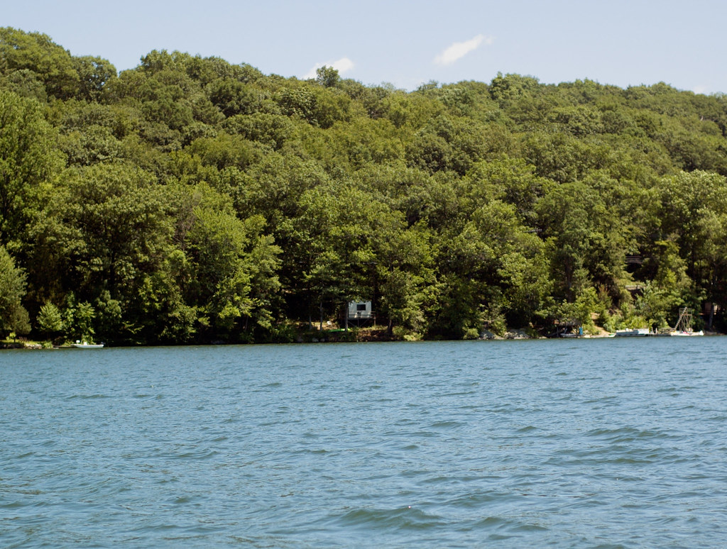 Photo: CarbonNYC [in SF!], CC BY 2.0 (via Flickr)
Pootatuck Forest Trail
~14 min drive
2.01-mile out-and-back hike in Connecticut with 917 ft of elevation gain.
Photo: eml23, CC BY 4.0 (via Wikimedia Commons)Squirrel Trail
~9 min drive
0.39-mile out-and-back trail in New York with 86 ft of elevation gain.
HIKE
Deer Pond Farm Trails
~12 min drive
A 12.76-mile point-to-point trail through New York farmland and woodlands.
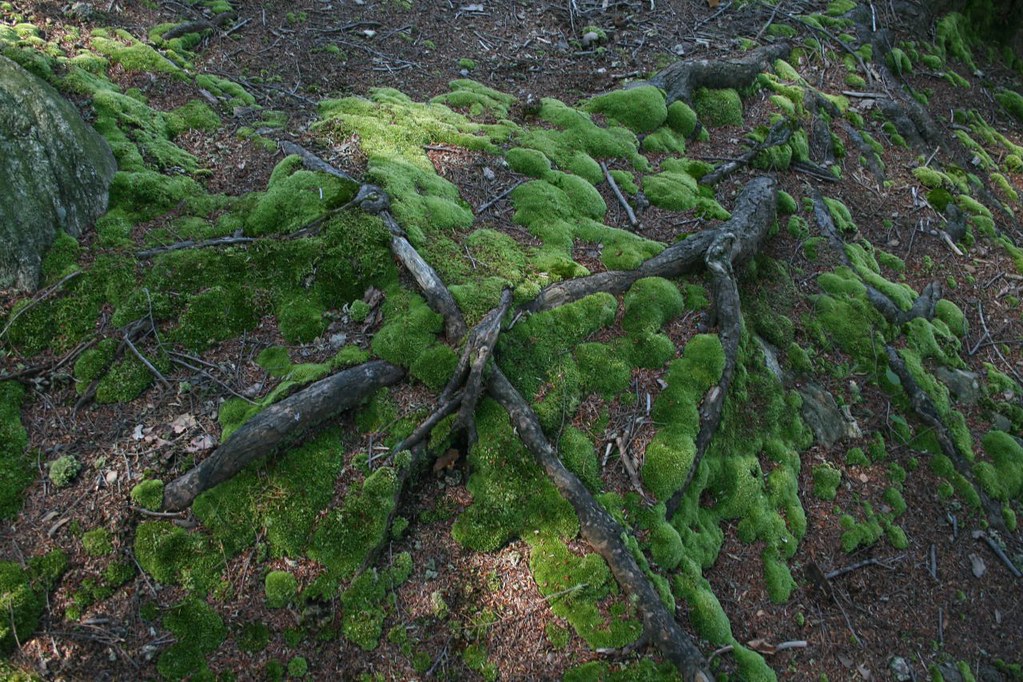 Photo: PBoGS, CC BY-SA 2.0 (via Flickr)
Roaring Brook Trail
~16 min drive
7.39-mile point-to-point trail in New York with 1,483 ft gain.
Photo: PBoGS, CC BY-SA 2.0 (via Flickr)Roaring Brook Access Trail
~15 min drive
0.50-mile out-and-back trail in New York with 168 ft elevation gain.
 Photo: OblongLandConservancy, CC BY 2.0 (via Flickr)
Yellow Trail
~16 min drive
A short point-to-point trail in New York, ideal for a quick hike.
About 0.5 mi.
About 147 ft of climbing round trip.
It is rated easy.
About 0.5 hours round trip.
2: Bare Hill and Yellow Trail.
Daily highs and lows, wind and the chance of precipitation at the summit and route start for the next 7 days, from the Open-Meteo model.
Map and trail data © OpenStreetMap contributors

