Clarence Fahnestock Park Campsite
Campground
Campground · 8.6 mi from the trail
 Photo: eml23, CC BY 4.0 (via Wikimedia Commons)
Leaf Trail is a short, easy out-and-back hike on county land in New York, set within the County of Putnam Land. The route is less than a mile long, with a total climb of about 117 feet and a round-trip distance of roughly a mile. The high point reaches about 461 feet, and the trail's steepest stretch comes early, near the 0.15 mile mark, with a grade of about 8 percent. The trail is a quick outing, estimated to take about half an hour, and the low elevation gain makes it a gentle addition to a longer day on the surrounding network of trails. The nearest town is Brewster, and the trail sits on county land. Summer is the most comfortable time to go. Typical averages from a nearby weather station at Carmel run from highs around 73°F in June to about 78°F in July, with September cooling to highs near 70°F. Several other routes lie close by. Squirrel Trail is about 0.4 miles away and Yellow Trail about 2 miles off. The Hudson Valley Greenway Trail (Brewster Village) is roughly 2.8 miles away, and the climbing area at Bike Trail Boulder is about 0.6 miles from the trail.
Clarence Fahnestock Park Campsite
Campground
 If it rainsⱮ, CC BY-SA 4.0 · Wikimedia Commons
Places © OpenStreetMap contributors · Photos: Ɱ, CC BY-SA 4.0 (commons)
More in Mount KiscoBest months: July–October. Best months have typical highs of 55–85 °F, lows of 30 °F or warmer (32 °F where the station doesn't record snow), at most one snowy day and no more than 12 wet days.
Jan
33° / 16°
13 wet
Feb
36° / 19°
11 wet
Mar
44° / 26°
12 wet
Apr
57° / 37°
13 wet
May
66° / 47°
15 wet
Jun
73° / 56°
13 wet
Jul
78° / 61°
12 wet
Aug
76° / 60°
11 wet
Sep
70° / 53°
10 wet
Oct
60° / 41°
12 wet
Nov
49° / 32°
11 wet
Dec
39° / 23°
13 wet
Typical high / low (°F) and days with rain or snow, 1991–2020. Measured at Carmel 4n, NY, 3.4 mi away at 680 ft. This station doesn't record snowfall. Source: NOAA NCEI U.S. Climate Normals 1991–2020.
Photo: eml23, CC BY 4.0 (via Wikimedia Commons)Squirrel Trail
Next door
0.39-mile out-and-back trail in New York with 86 ft of elevation gain.
 Photo: johnaac, CC BY 3.0 (via Wikimedia Commons)
Yellow Trail
~8 min drive
A 2.79-mile point-to-point trail in New York with easy hiking.
HIKE
Appalachian National Scenic Trail
~15 min drive
70.60-mile point-to-point trail in New York with 7,386 ft of elevation gain
Photo: johnaac, CC BY 3.0 (via Wikimedia Commons)Bare Hill
~8 min drive
0.49-mile point-to-point trail in New York with 207 ft of elevation gain.
 Photo: usf1fan2, CC BY 2.0 (via Flickr)
White Trail
~14 min drive
Easy 1-mile out-and-back walk through New York woodlands.
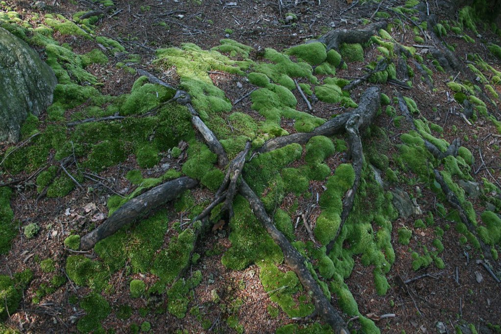 Photo: PBoGS, CC BY-SA 2.0 (via Flickr)
Roaring Brook Access Trail
~14 min drive
0.50-mile out-and-back trail in New York with 168 ft elevation gain.
Photo: usf1fan2, CC BY 2.0 (via Flickr)Yellow Trail
~15 min drive
0.32-mile out-and-back hike on Yellow Trail in New York with 132 ft of elevation gain.
Photo: usf1fan2, CC BY 2.0 (via Flickr)White Trail
~14 min drive
0.47-mile point-to-point trail in New York with 48 ft elevation gain
Photo: PBoGS, CC BY-SA 2.0 (via Flickr)Roaring Brook Trail
~15 min drive
7.39-mile point-to-point trail in New York with 1,483 ft gain.
 Photo: Mr. George Lou, CC BY 2.0 (via Flickr)
Kennedy Rail Trail
~14 min drive
Kennedy Rail Trail is a 1.71-mile point-to-point trail in New York.
Map and trail data © OpenStreetMap contributors

