AT Thruhiker camping
Campground
Campground · 6.8 mi from the trail
Closure in the area
There's a closure order in Appalachian National Scenic Trail. It doesn't name Appalachian National Scenic Trail, so check the source for the area it covers.
List of trail closures post-Hurricane Helene
Park closure covering Appalachian National Scenic Trail · NPS · Appalachian National Scenic Trail
Black Bears Frequenting the McAfee Knob Area in Virginia
Park alert covering Appalachian National Scenic Trail · NPS · Appalachian National Scenic Trail
As of · Source: NPS · Appalachian National Scenic Trail. Agencies don't list every closure — check before you go.
The Appalachian National Scenic Trail is a long-distance route in New York, managed by the National Park Service. This section is a point-to-point stretch of about 70.6 miles, rising from a start near 938 feet to a high point of about 2,316 feet. It is rated expert in difficulty, and the climb totals about 12,575 feet of elevation gain. The most comfortable months for the trail run from late spring into early fall. Typical averages from a nearby weather station in Stormville, NY, show May highs around 72°F and September highs around 74°F, with July peaking near 83°F. That station sits well below the trail's high point, so temperatures up high run cooler. There is no fee to hike this stretch of the trail. The route makes a natural base for exploring the surrounding area. Owl Cave and Cookie's Crag are climbing areas about 3.5 miles away, and the Hawk Rock Trail is about 4.8 miles away.
AT Thruhiker camping
Campground
Cobblestone Pizza and Deli
Pizza restaurant
 If it rainsRolf Müller ( User:Rolfmueller ), CC BY-SA 3.0 · Wikimedia Commons
Places © OpenStreetMap contributors, Places © Overture Maps Foundation · Photos: Rolf Müller ( User:Rolfmueller ), CC BY-SA 3.0 (commons)
More in New WindsorNot on Roamze yet. Their page has how to reach them.
 Yellow TrailHikingPhoto: johnaac, CC BY 3.0 (via Wikimedia Commons)4.9 mi
 Fishkill CreekCanoeingPhoto: Daniel Case, CC BY-SA 3.0 (via Wikimedia Commons)5 mi
Source: Roamze catalog (indexable pages within 10 miles, PostGIS distance)
Yellow TrailHiking · ~8 min drivePhoto: johnaac, CC BY 3.0 (via Wikimedia Commons)Bare HillHiking · ~9 min drivePhoto: johnaac, CC BY 3.0 (via Wikimedia Commons)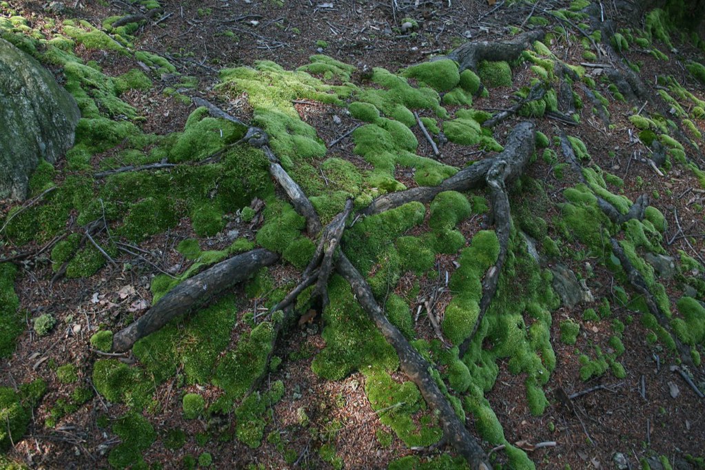 Roaring Brook TrailHiking · ~13 min drivePhoto: PBoGS, CC BY-SA 2.0 (via Flickr)
 Pelton Pond TrailHiking · ~13 min drivePhoto: PBoGS, CC BY-SA 2.0 (via Flickr)
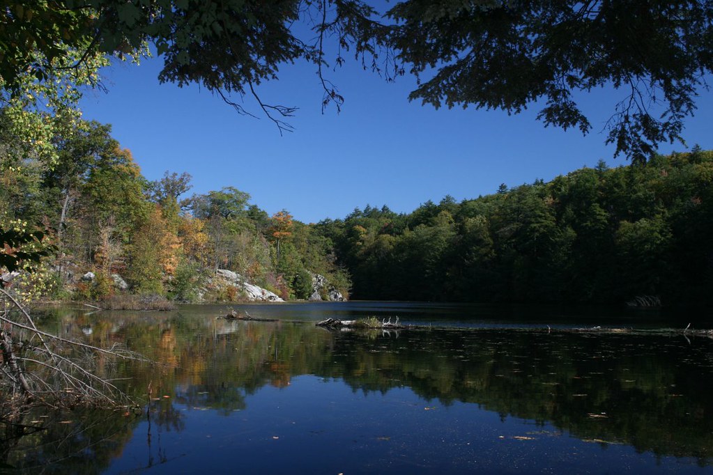 Fahnestock TrailHiking · ~14 min drivePhoto: PBoGS, CC BY-SA 2.0 (via Flickr)
 Charcoal Burners TrailHiking · ~14 min drivePhoto: daveclausen, CC BY 2.0 (via Flickr)
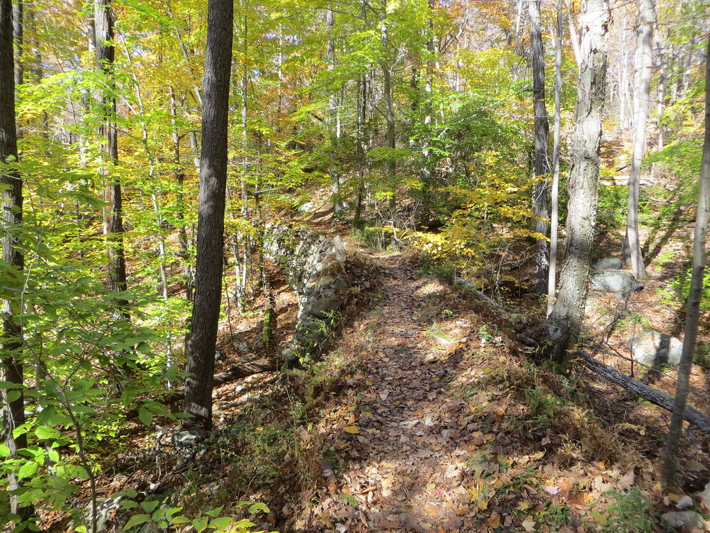 White TrailHiking · ~15 min drivePhoto: Russ Nelson, CC BY-SA 2.0 (via Flickr)Clove Creek TrailHiking · ~14 min drivePhoto: daveclausen, CC BY 2.0 (via Flickr)
Best months: April–October. Best months have typical highs of 55–85 °F, lows of 30 °F or warmer (32 °F where the station doesn't record snow), at most one snowy day and no more than 12 wet days.
Jan
35° / 17°
12 wet
Feb
39° / 19°
10 wet
Mar
49° / 27°
13 wet
Apr
61° / 38°
12 wet
May
72° / 48°
12 wet
Jun
77° / 58°
11 wet
Jul
83° / 63°
11 wet
Aug
82° / 62°
10 wet
Sep
74° / 55°
10 wet
Oct
63° / 43°
10 wet
Nov
50° / 32°
10 wet
Dec
39° / 24°
12 wet
Typical high / low (°F) and days with rain or snow, 1991–2020. Measured at Stormville, NY, 0.7 mi away at 915 ft. The station sits about 1,400 ft lower than this place, so expect it a little cooler here. This station doesn't record snowfall. Source: NOAA NCEI U.S. Climate Normals 1991–2020.
